

Beautiful Day To Wrap Up January
WILD JANUARY: We have seen some remarkable swings in the weather across Alabama this month. Snow and ice the night of January 6 gave way to Arctic cold the following two days; colder spots like Black Creek reported lows in the single digits the morning of January 7… Birmingham’s official low was 13. Then, just six days later on January 13, the temperature soared to 78 degrees at Birmingham, one of our warmest January days on record. Then, at least 18 tornadoes touched down in the state January 19-22. So, we are thankful for the calm end to the month.
THIS MORNING: Temperatures are all over the board at daybreak, varying from near 30 degrees at Gadsden, to almost 50 at Birmingham. Yet another reminder it is very hard using just one number when forecasting lows on a winter night. Variations in elevation, wind, and cloud cover make a huge difference.
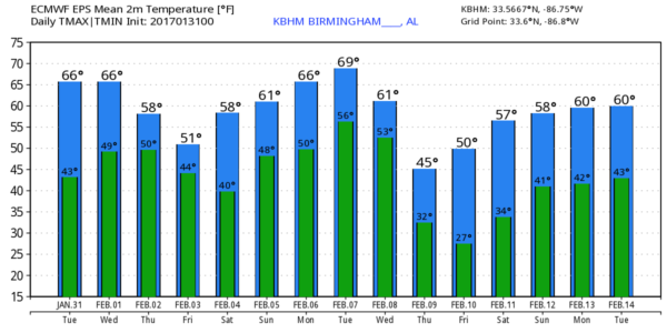
But we all warm up nicely today; we project a high between 67 and 70 degrees this afternoon with a good supply of sunshine.
REST OF THE WEEK: Clouds move into Alabama tomorrow afternoon ahead of a cold front, but the day will be dry with a high in the 60s. Then, expect cloudy weather Thursday and Friday with a few periods of light rain as the front drifts slowly southward through North Alabama. And, temperatures trend downward; the high Thursday will be in the upper 50s, and close to 50 Friday. Many places north of Birmingham will hold in the 40s Friday afternoon with clouds and some light rain.
THE WEEKEND: Models have trended drier for Saturday, and for now we will remove the chance of showers. The day looks cool and dry with a partly sunny sky and a high in the mid 50s. Clouds will increase Saturday night, and we will bring in a chance of rain Sunday. But, again, models are not as aggressive with the upper system late in the weekend, and it certainly won’t rain all day. In fact, a decent part of Sunday could very well be dry if these trends continue. Still, we will mention a chance of rain Sunday with a high between 57 and 60 degrees.
NEXT WEEK: We start the week with some very mild weather; highs will be well up in the 60s Monday and Tuesday with just a few widely scattered showers possible both days. The GFS suggests we will have a good chance of rain Tuesday night into early Wednesday with a passing cold front, and a round of rain and storms Thursday with a rather vigorous system. But, model consistency has not been good, and this could easily change. See the Weather Xtreme video for maps, graphics, and more details.
As always, watch me for the full weather story on ABC 33/40 News this evening at 4, 5, 6, and 10:00!
WEATHER BRAINS: Don’t forget you can listen to our weekly 90 minute netcast anytime on the web, or on iTunes. This is the show all about weather featuring many familiar voices, including our meteorologists here at ABC 33/40. We will produce this week’s show tonight at 8:30 CT… you can watch it live here.
CONNECT: You can find me on all of the major social networks…
Facebook
Twitter
Google Plus
Instagram
Pinterest
Snapchat: spannwx
I am speaking to a home school group this morning in Demopolis… look for the next Weather Xtreme video here by 4:00 this afternoon. Enjoy the day!
Category: Alabama's Weather
About the Author (Author Profile)
James Spann is one of the most recognized and trusted television meteorologists in the industry. He holds the AMS CCM designation and television seals from the AMS and NWA. He is a past winner of the Broadcast Meteorologist of the Year from both professional organizations.Subscribe
If you enjoyed this article, subscribe to receive more just like it.


