

Small Stream Flood Advisory for Southern Tuscaloosa County Until 2:30 PM
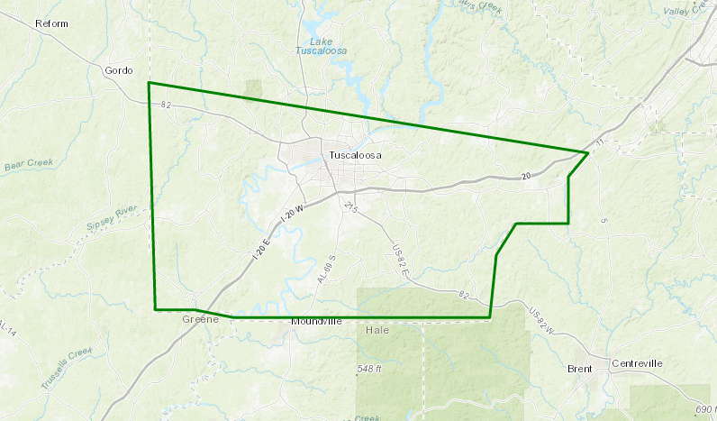
Showers with very heavy rainfall is currently falling over parts of southern Tuscaloosa County, and with more heavy rain back to the west, the National Weather Service has issued a Small Stream Flood Advisory. Here are the details from the NWS Birmingham office.
Flood Advisory
National Weather Service Birmingham AL
1229 PM CDT TUE AUG 8 2017
ALC125-081930-
/O.NEW.KBMX.FA.Y.0115.170808T1729Z-170808T1930Z/
/00000.N.ER.000000T0000Z.000000T0000Z.000000T0000Z.OO/
Tuscaloosa AL-
1229 PM CDT TUE AUG 8 2017
The National Weather Service in Birmingham has issued a
* Small Stream Flood Advisory for…
Southern Tuscaloosa County in west central Alabama…
* Until 230 PM CDT
* At 1228 PM CDT, Doppler radar indicated heavy rain that will cause
small stream flooding in the advisory area. One to two inches of
rain have already fallen…and up to another inch is possible.
This will produce flooding of some roadways in the
area…especially in low-lying flood prone areas with poor
drainage or near small creeks and streams.
* Some locations that will experience flooding include…
Tuscaloosa, Northport, Holt, Moundville, Brookwood, Coaling, Vance,
Coker, McFarland Mall, Shelton State Community College, Tuscaloosa
Amphitheater, Bryant Denny Stadium, Lake Wildwood, University Mall,
Mercedes Benz Of Alabama, Englewood, Ralph, Cottondale, Tuscaloosa
Municipal Airport and Little Sandy.
PRECAUTIONARY/PREPAREDNESS ACTIONS…
Turn around, don’t drown when encountering flooded roads. Most flood
deaths occur in vehicles.
Category: Archived Warnings
About the Author (Author Profile)
Scott Martin is an operational meteorologist, professional graphic artist, musician, husband, and father. Not only is Scott a member of the National Weather Association, but he is also the Central Alabama Chapter of the NWA president. Scott is also the co-founder of Racecast Weather, which provides forecasts for many racing series across the USA. He also supplies forecasts for the BassMaster Elite Series events including the BassMaster Classic.Subscribe
If you enjoyed this article, subscribe to receive more just like it.


