Late Night Forecast Update
No real changes in the thinking.
With each consistent model run, our confidence increases that this will be a very severe cold event with the chance of a significant snow thrown in for Thursday.
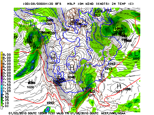
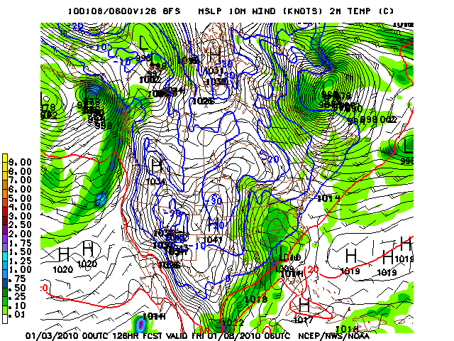
From the 0z run of the GFS…fresh off the press…
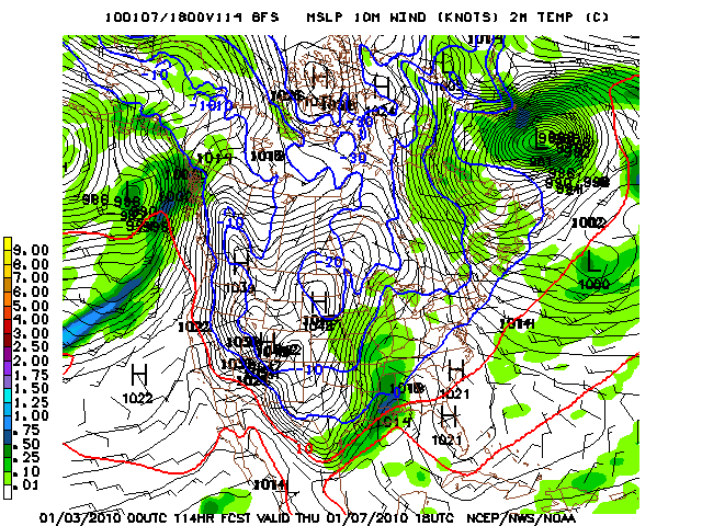
Thursday noon:
1014 mb low near New Orleans. We are near freezing in the I-59 corridor. Snow is about to begin in earnest across Central Alabama.
Somewhere between 0.25-0.50 inches of water equivalent between noon and 6 p.m. Using a ratio of 14:1, that’s between 3.5 and 7 inches of snow for parts of the area. Throw in a little before noon and another inch of two during the overnight from snow showers, and we could have a significant snow across Central Alabama.
MODEL COMPARISON
The 12z run of the European is slower with the system, bringing it in Thursday night, with the heaviest snow north of along and north of I-20 (about same amounts). I could see folks stranded at BCS parties Thursday night in a worst case scenario. But we will have plenty of time to worry about that.
Now I caution everyone… a lot could go wrong with this forecast. This system is a long way off. But the more consistent depictions we see of this scenario gives us increasing confidence to up snow chances and the possibility of accumulation.
We always show our work here.
For those who will say we are hyping another snow event…it’s not hype when we tell you what we think, show you why and let you interpret along with us. Bottom line, it is a snow event that bears watching, because it makes sense from a synoptic standpoint, we have cold like we have not seen in a long time and it could be disruptive to travel, school and business on Thursday, Friday and into the weekend. We want our audience to have the most possible time to prepare for whatever we are forecasting, whether it is extreme cold, a snowstorm, severe weather or a hurricane. It’s why we do what we do for the best weather audience in the world.
As we look at the possibility of snow, I don’t want you to forget the extreme and dangerous cold, both before and after Thursday. Some notes:
…Central Alabama may not see 40F again until January 13th…and maybe not until January 16th!
…Parts of the Tennessee Valley may not get above freezing except for a few hours in the next two weeks!
…We could be flirting with zero next Saturday and Sunday morning if we get a snow cover. Single digits look inevitable.
Stay warm, be safe, and think of others…
Category: Uncategorized


