

Swapping Ridges
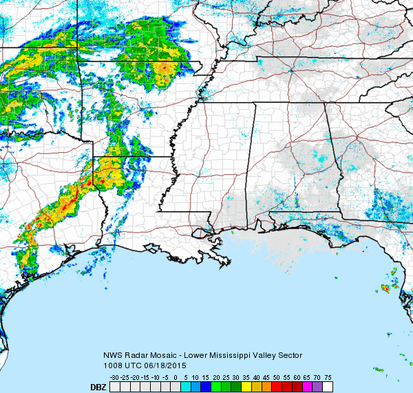
It’s not much, but a slight increase in clouds, moisture, and shower coverage along with the slight lessening of the upper ridge for the next couple of days should result in lowering temperatures a few degrees, but highs will still be in the 90s. A heat advisory was in effect today for the Alabama counties southeast of Montgomery where heat indices will be near 105 degrees. The upper ridge and surface high pressure which have brought Central Alabama the hottest days so far of 2015 will wane as the upper air reflection of the remnants of Bill move across the Middle Mississippi and Ohio Valleys Friday and Saturday.
That upper air reflection of Bill moves off the Mid Atlantic States on Sunday as we swap one ridge for another. The upper ridge over the Southwest US will begin building back into the Central Plains and the Southeast US on Sunday and Monday where it will become the predominant feature in our weather pattern for much of next week. This will push high temperatures once again into the middle and upper 90s with the potential for heat indices coming up to the 105 level.
With the upper ridge building into the Southeast US from the west, we will also see a reduction in showers once again as that pattern should support only an isolated thunderstorm here and there and no widespread rain chances.
At the beach, highs will be in the upper 80s, while just inland 90s will be the rule. Showers and storms will be possible as the sea breeze moves inland each day. Rain chances along the immediate coast are very low, less than 20 percent. Water temperature yesterday afternoon at Perdido Pass at Orange Beach was 86 degrees.
Both the Atlantic and Eastern Pacific basins were quiet and expected to remain that way for the next several days.
Looking out into voodoo country, the GFS was again suggesting the development of a substantial trough over the eastern half of the country as we end June and get into July. This feature has come and gone over the last several model runs, so we’ll be hopeful that the trend is right. That pattern would surely bring a nice break in the heat to the eastern half of the country.
The next Weather Xtreme Video will be posted here on Friday morning. We are on a one a day schedule while James Spann is on vacation.
-Brian-
Category: Alabama's Weather
About the Author (Author Profile)
Brian Peters is one of the television meteorologists at ABC3340 in Birmingham and a retired NWS Warning Coordination Meteorologist. He handles the weekend Weather Xtreme Videos and forecast discussion and is the Webmaster for the popular WeatherBrains podcast.Subscribe
If you enjoyed this article, subscribe to receive more just like it.


