

Here Comes the Ridge
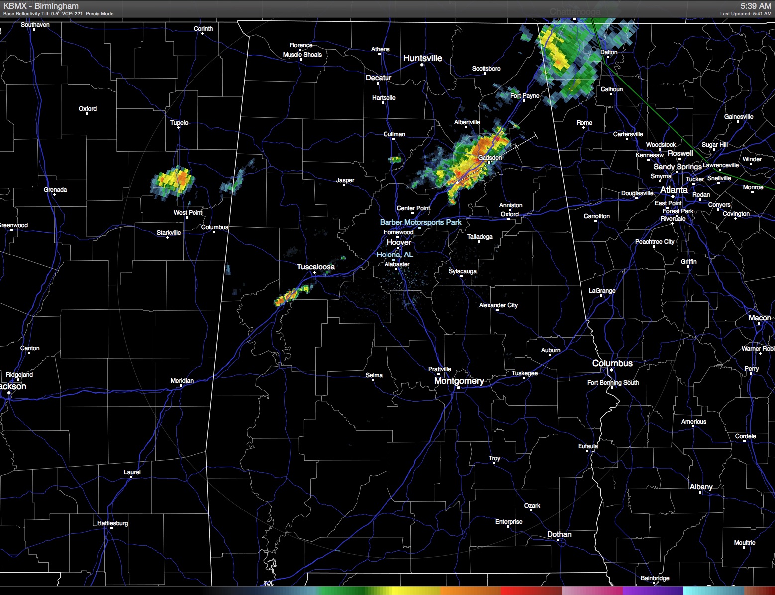
The remnants of Bill were moving eastward across the Ohio River Valley this morning, so the northern third of Alabama was seeing some effects with a few showers traversing the area. Chances for showers thanks to Bill will stay up for much of the morning and into the afternoon, but then the ridge from the Southwest US will become the major player in our weather pattern bringing heat back to Central Alabama. Todays highs will be in the lower and middle 90s with a mix of sun and clouds.
The upper air reflection of Bill will move off the Mid-Atlantic States on Sunday. That’s when the ridge over the Four Corners area makes its move eastward. This ridge will be the main player in our weather through the end of the week. This should bring the heat up for Monday and Tuesday with highs into the middle and upper 90s for Central Alabama. Showers will be rather scarce but an isolated storm or two will be possible with slightly better chances further south.
Through the weekend and much of next week, expect fairly typical June weather along the beaches of the northern Gulf Coast. At the beach highs in the upper 80s, while just inland readings will be in the lower 90s. Showers and storms will be possible each day as the sea breeze moves inland each day. There will be plenty of sun for all the sunbathers to work on those tans, but sunscreen is a must as the UV index is extreme. Water temperature at Perdido Pass at Orange Beach was 88 degrees.
By the end of the week, we can expect to see a break in the heat as a fairly substantial trough develops over the eastern half of the US. This somewhat unusual dip in the westerlies will bring temperatures back to more seasonal values and the MOS guidance was painting upper 80s for Central Alabama. That will certainly be some welcome relief from the heat.
Severe weather today will be focused on the Mid-Atlantic states ahead of the remnants of Bill as well as the Central Plains mainly centered on Iowa. And the Atlantic Basin remains quiet with no storms expected for the next several days.
The GFS continues the trough as we head into July, but by the time we reach the fourth of July, the westerlies should push back north with ridging across the southern tier of the US bringing some heat back into the picture.
I’ll have the next Weather Xtreme Video posted on Sunday morning. Enjoy the day, stay cool, and Godspeed.
-Brian-
Category: Alabama's Weather
About the Author (Author Profile)
Brian Peters is one of the television meteorologists at ABC3340 in Birmingham and a retired NWS Warning Coordination Meteorologist. He handles the weekend Weather Xtreme Videos and forecast discussion and is the Webmaster for the popular WeatherBrains podcast.Subscribe
If you enjoyed this article, subscribe to receive more just like it.


