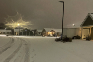
A Few Winter Wonderland Images from the Spann Twitter Army
These are just a few Tweets that were sent in this evening and tonight from the locations that have received snow during this latest winter weather event.

These are just a few Tweets that were sent in this evening and tonight from the locations that have received snow during this latest winter weather event.
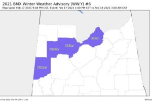
Mixed precipitation. Additional snow accumulations of up to one inch. Plan on slippery road conditions.
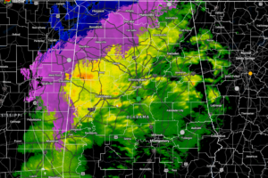
The low level jet across the area is starting to increase in speed which is allowing for some surface temperatures to start rising. This is allowing some locations in the northern parts of North Alabama to make a transition from a wintry mix or snow to all rain.
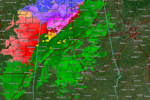
Pretty decent snow showers are falling over the northwestern and portions of the north/central parts of North/Central Alabama where accumulations of 1/2-inch to 1-inch up in Town Creek.
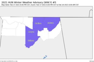
Mixed precipitation expected. Total snow accumulations of up to 2 inches and ice accumulations of a light glaze.
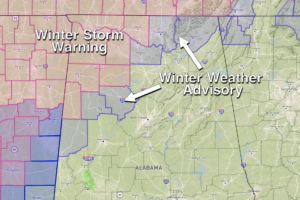
ANOTHER WINTER STORM: A winter storm warning remains in effect for Lamar, Marion, Winston, Franklin, Colbert, Lauderdale, Lawrence, and Limestone counties through tonight… a winter weather advisory is in effect for Morgan, Madison, Jackson, Pickens, Fayette, Walker counties.

Guest Weather Brains on this week’s show were Kathy Sherman-Morris and Christopher Nunley. They were on to talk about their BAMS article, “What People Know About The Weather”!
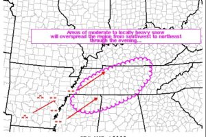
Moderate to locally heavy snow continues to spread northeastward into the discussion area from the southwest. 1″ per hour rates will gradually become increasingly likely over the course of the afternoon.
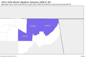
The Winter Storm Warning will now go into effect at 3:00 pm this afternoon, while a Winter Weather Advisory has been issued for a few of the eastern counties in North Alabama starting at 6:00 pm tonight.
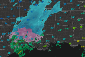
A winter storm warning is in effect through tonight for Lamar, Marion, Winston, Franklin, Lawrence, Colbert, Lauderdale, and Limestone counties in Northwest Alabama, while a winter weather advisory is in effect for Pickens, Fayette, and Walker counties, as yet another round of winter precipitation overspreads Alabama in the coming hours.
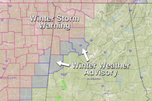
HERE WE GO AGAIN: A winter storm warning is in effect late this afternoon and tonight for Lamar, Marion, Winston, Franklin, Lawrence, Colbert, Lauderdale, and Limestone counties in Northwest Alabama… a winter weather advisory is in effect for Pickens, Fayette, and Walker counties.
Notifications