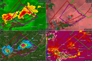
EXPIRED New Tornado Warning for City of Tuscaloosa and Northport for Second Storm
You must be sheltered on the University of Alabama campus as well as Tuscaloosa/Northport!

You must be sheltered on the University of Alabama campus as well as Tuscaloosa/Northport!
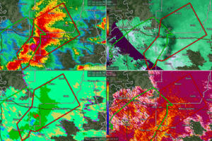
At 317 PM CDT, severe thunderstorms capable of producing tornadoes were located along a line extending from near Vaiden to Central Mills, moving northeast at 30 mph.
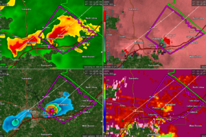
Dangerous storm is over Brookwood, but another storm is ramping up west of Tuscaloosa.
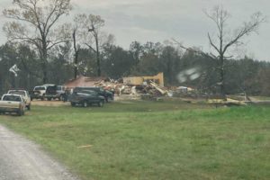
Images of damage that occurred with a possible tornado when it moved through near Billingsley in Autauga County just about an hour ago.
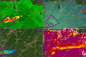
A confirmed tornado is along the Talladega/Coosa County line just east of Sylacauga.
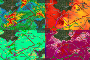
t 257 PM CDT, a severe thunderstorm capable of producing a tornado was located near Cardiff, or 7 miles northwest of Gardendale, moving northeast at 25 mph.
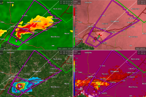
A confirmed tornado is passing just east of Tuscaloosa! Be in safe shelter now!!!
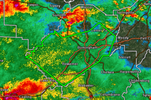
AT 251 PM CDT, DOPPLER RADAR INDICATED THUNDERSTORMS PRODUCING HEAVY RAIN ACROSS THE WARNED AREA. FLASH FLOODING IS ONGOING OR EXPECTED TO BEGIN SHORTLY.
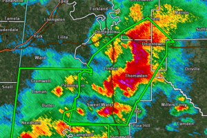
AT 244 PM CDT, DOPPLER RADAR INDICATED THUNDERSTORMS PRODUCING HEAVY RAIN ACROSS THE WARNED AREA. BETWEEN 1 AND 2 INCHES OF RAIN HAVE FALLEN. FLASH FLOODING IS ONGOING OR EXPECTED TO BEGIN SHORTLY.
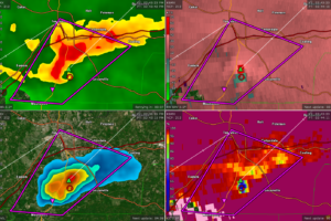
Be in safe shelter now if you are in this polygon!!!
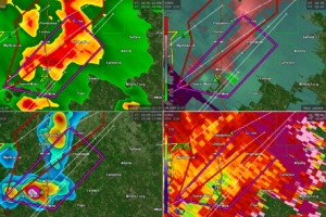
Another confirmed tornado in Marengo County! Will impact Thomaston!
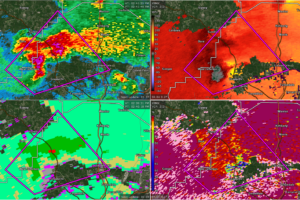
AT 240 PM CDT, A CONFIRMED TORNADO WAS LOCATED OVER QUINTON, OR NEAR DORA, MOVING NORTHEAST AT 30 MPH.
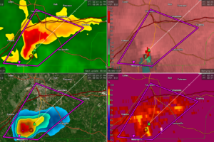
This confirmed tornado is going to cross US-82 between Duncanville and Tuscaloosa. The tornado will impact areas south of downtown Tuscaloosa up toward Cottondale, Coaling, Peterson, and Brookwood. If you are in any of these areas, be in safe shelter!!!
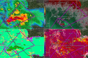
AT 233 PM CDT, A TORNADO PRODUCING STORM WAS LOCATED OVER WEOGUFKA, MOVING NORTHEAST AT 25 MPH.
Notifications