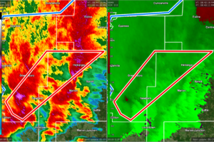
CANCELED — TORNADO WARNING: Parts of Hale, Perry Co. Until 9:30 pm
At 843 PM CDT, a severe thunderstorm capable of producing a tornado was located near Newbern, or 8 miles south of Greensboro, moving northeast at 55 mph.

At 843 PM CDT, a severe thunderstorm capable of producing a tornado was located near Newbern, or 8 miles south of Greensboro, moving northeast at 55 mph.
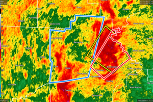
At 834 PM CDT, Doppler radar indicated slow moving showers and thunderstorms producing heavy rain across the warned area. Radar and observations indicate that 2 to locally 3 inches of rain has already fallen with an additional 1 to 2 inches possible through late evening. Flooding has already been reported in the city of Tuscaloosa and near the University of Alabama Campus.
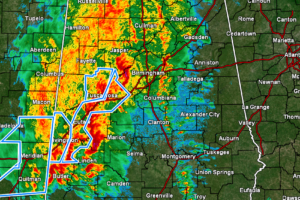
Rain and storms continue to fall over the western half of the area and extending into the east-central and northeastern parts of the area, but the good news is that there are no severe weather warnings in effect across North/Central Alabama.
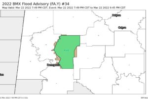
At 748 PM CDT, Doppler radar indicated heavy rain due to slow moving showers and thunderstorms. This will cause flooding of creeks, streams, and low lying areas.
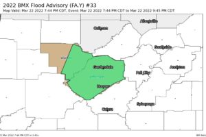
At 744 PM CDT, Doppler radar indicated heavy rain due to slow moving showers and thunderstorms. This will cause urban and small stream flooding.
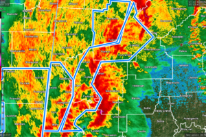
At 740 PM CDT, Doppler radar indicated slow moving showers and thunderstorms producing heavy rain across the warned area. Flash flooding is ongoing or expected to begin shortly.
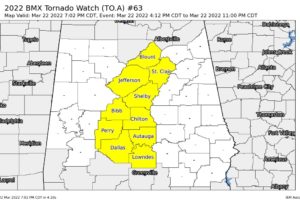
NWS Birmingham has restructured the Tornado Watches and now Greene, Hale, Marengo, Sumter, Tuscaloosa, and Walker counties have been added with Autauga, Bibb, Blount, Chilton, Dallas, Jefferson, Lowndes, Perry, Shelby, and St. Clair counties to the Tornado Watch that is set to expire at 11 pm tonight.
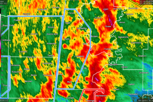
At 659 PM CDT, Doppler radar indicated slow moving showers and thunderstorms producing heavy rain across a large portion of Sumter County. Radar indicates that at least 2 inches has already fallen in many areas with another 1 to locally 2 inches likely through this evening. Flash flooding is ongoing or expected to begin shortly.
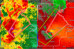
At 658 PM CDT, a severe thunderstorm capable of producing a tornado was located near University Mall, or near Holt, moving northeast at 45 mph.
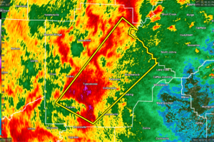
At 649 PM CDT, a severe thunderstorm was located over Shelton State Community College, or near Tuscaloosa, moving northeast at 45 mph.
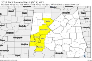
NWS Birmingham has canceled the Tornado Watch for Fayette, Pickens, and Winston counties in Central Alabama that was set to expire at 7 pm. The watch continues for Greene, Hale, Marengo, Sumter, Tuscaloosa, and Walker counties in Central Alabama until 7 pm.
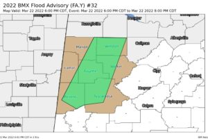
At 600 PM CDT, Doppler radar indicated heavy rain due to slow moving thunderstorms. This will cause urban and small stream flooding.
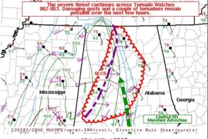
The severe threat continues across the areas under tornado watches. Damaging gusts may accompany the stronger bowing segments, and a tornado may also occur with the more sustained supercell structures.
Notifications