Hot, Humid, A Few Storms
METEOROLOGICAL SUMMER IS HERE: Those of us in the meteorological world consider summer the calendar months of June, July, and August. Makes for better and cleaner record keeping. The astronomy guys prefer to wait until the solstice, on June 20 (at 5:34p CT) when the sun is directly over the Tropic of Cancer.
One way or another, hot summer weather is here. Highs yesterday included 94 at Anniston and Calera, 93 at Birmingham, and 92 at Tuscaloosa. Hottest in the state was 97 at Troy.
The weather won’t change much today; partly sunny, hot, humid weather continues with the chance of widely scattered showers and storms mostly this afternoon and early tonight. The high will be in the low 90s in most places.
TOMORROW/FRIDAY: The overall coverage of scattered showers and storms should begin to increase as the upper ridge weakens, and a surface front slowly approaches from the north. Still, it won’t rain everywhere, and highs will be close to 90 degrees.
THE ALABAMA WEEKEND: We project scattered to numerous showers and thunderstorms Saturday and Sunday. Don’t think the weekend will be a “wash out”, but if you have something planned outdoors you will need to ready for some rain at times. The most widespread coverage of showers/storms should come on Sunday, and come places could hold in the 70s all day because of clouds and showers.
Rain distribution won’t be too even due to the scattered nature of the showers and thunderstorms, most most places have a good chance of seeing 1/2 to 1 inch.
NEXT WEEK: Dry, continental air drops into Alabama Sunday night, and that will set the stage for some very nice weather for the first half of the week with sunny days, cooler nights, and lower humidity. A good chance we see lows in the 50s in many places early Tuesday. Heat levels will rise later in the week, but at this point the chance of rain stays very low through Friday. See the Weather Xtreme video for maps, graphics, and more details.
AT THE BEACH: Just a few isolated showers and storms, otherwise mostly sunny days and fair nights on the coast from Panama City Beach over to Gulf Shores through Friday. Scattered showers and storms are possible over the weekend, but you should still see a decent amount of sun both days. Highs on the immediate coast will be in the 80s, with low 90s inland. The sea water temperature early this morning at the Dauphin Island Sea Lab is a warm 84 degrees. See a very detailed Gulf Coast forecast here.
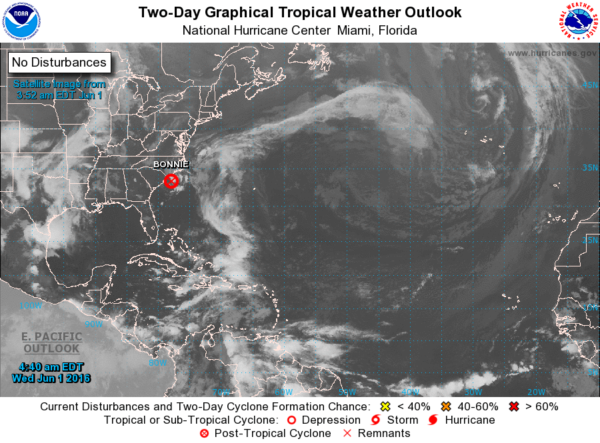
TROPICS: This is the first “official” day of the Atlantic basin hurricane season. The remnant circulation of former Tropical Storm Bonnie is near Wilmington, NC… otherwise it is all quiet.
WEATHER BRAINS: Don’t forget you can listen to our weekly 90 minute netcast anytime on the web, or on iTunes. This is the show all about weather featuring many familiar voices, including our meteorologists here at ABC 33/40. Scroll down for the show notes on the new episode we recorded last night.
CONNECT: You can find me on all of the major social networks…
Facebook
Twitter
Google Plus
Instagram
I will be at Children’s of Alabama doing a weather program this morning… look for the next Weather Xtreme video here by 4:00 this afternoon. Enjoy the day!
Category: Alabama's Weather
About the Author (Author Profile)
James Spann is one of the most recognized and trusted television meteorologists in the industry. He holds the AMS CCM designation and television seals from the AMS and NWA. He is a past winner of the Broadcast Meteorologist of the Year from both professional organizations.Subscribe
If you enjoyed this article, subscribe to receive more just like it.


