Its The Midday Hour, And Showers Are Starting To Form
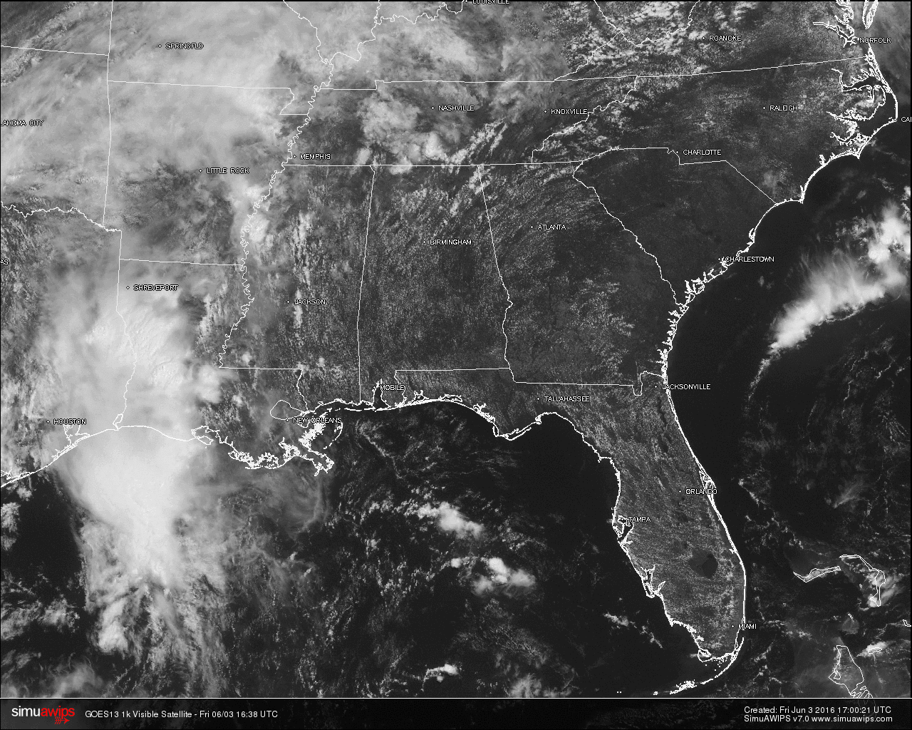
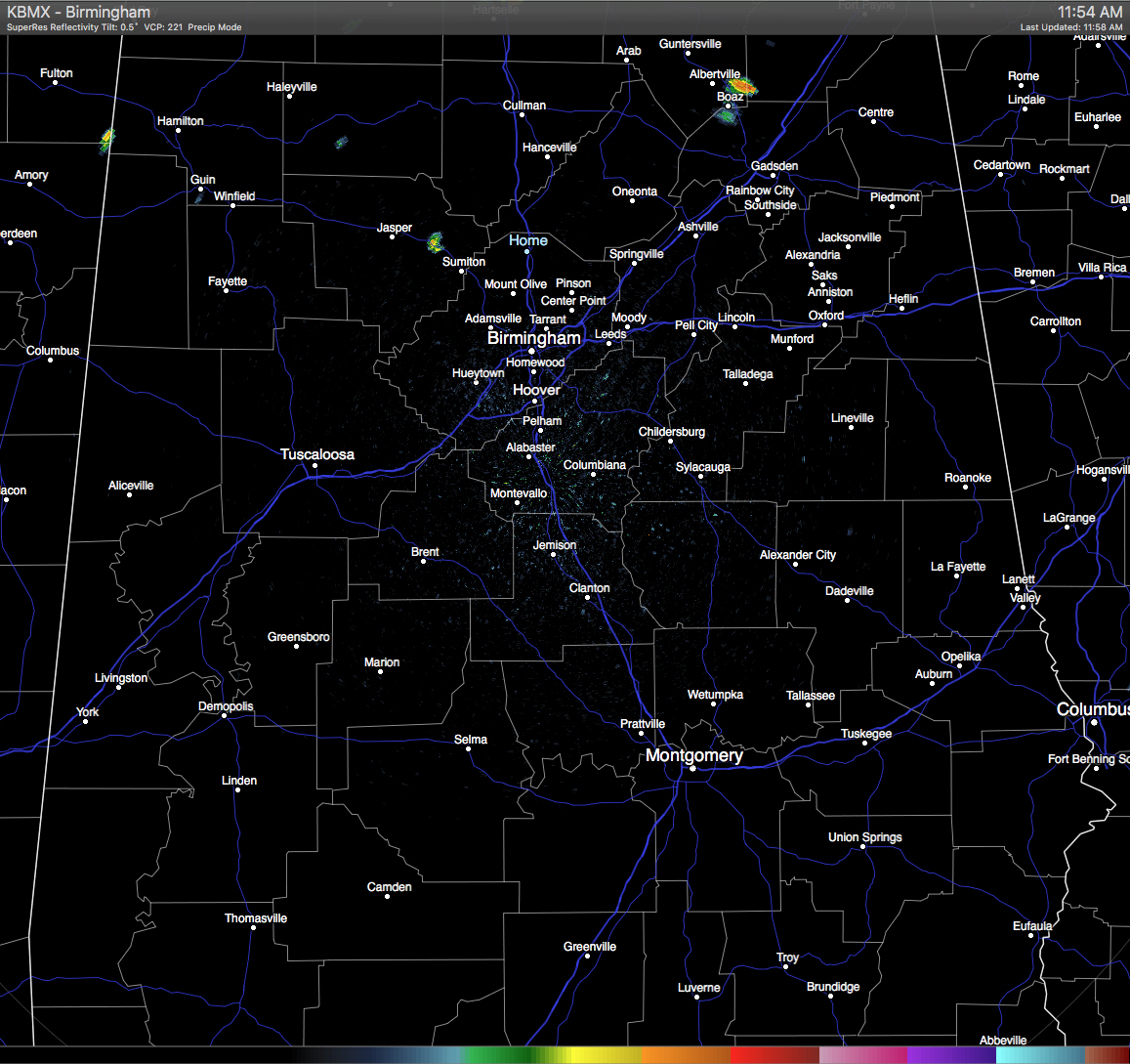
SATELLITE & RADAR CHECK: Skies over Central Alabama are partly cloudy at this noon hour, and some showers have already started to pop up in the area. There is a small shower that is over I-22 in between Cordova and Sispey in Walker County. It is slowly moving to the northeast. There is another small shower that is moving slowly north-northeast into western Marion County from Mississippi.
QUICK LOOK AT TEMPERATURES: Temperatures at this time are already are well up in the 80s. The warm spots in the state are Montgomery and Dothan, both at 88. Here is a list of temperature readings from across the state at this time:
Birmingham 85
Tuscaloosa 85
Muscle Shoals 80
Huntsville 85
Anniston 86
Alexander City 87
Montgomery 88
Dothan 88
Mobile 87
REST OF TODAY: Partly clouds skies with hot and humid conditions will persist through the rest of the afternoon hours. Scattered afternoon and evening showers and storms will develop, but most areas will remain dry as chances for any one spot receiving rain today will be one in five. Afternoon highs will be around 90 degrees.
AIR QUALITY ALERT FOR BIRMINGHAM AREA: Today’s forecasted air quality index is 56, which is in the CODE YELLOW (moderate) for ozone and particulate matter. Unusually sensitive people should consider limiting prolonged outdoor exertion.
CLIMATOLOGY FOR BIRMINGHAM: The normal high temperature for June 2nd in Birmingham is 85, while the normal low is 63. The record high of 99 was reached in 1895. The record low of 46 was set back in 1956.
THE WEEKEND: A well defined upper low over Texas is drifting closer to the state, and that will be the catalyst for the coverage of showers and storms to increase tomorrow and Sunday. Understand the rain won’t be continuous, but a shower or thunderstorm is possible at any time over the weekend. And, temperatures will trend downward thanks to the clouds and showers; the high both days should be in the mid 80s. Rain amounts should average around one inch, but your total could vary due to the scattered nature of the summer showers and thunderstorms.
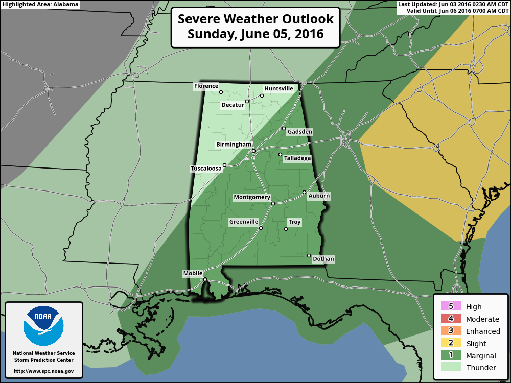
And, we note SPC has a “marginal risk” of severe weather defined for the southern two-thirds of the state Sunday; a few storms there could produce small hail and gusty winds.
HEADED TO THE BEACH: Mostly sunny weather is the story today for the Gulf Coast from Panama City Beach over to Gulf Shores with only isolated showers; scattered showers and storms will be more active over the weekend, but we expect about 4 to 6 hours of sunshine both days. Then, next week looks mostly rain-free with a good supply of sunshine each day. Highs will be mostly in the 80s. See a very detailed beach forecast here.
TROPICAL UPDATE: Tropical Depression Bonnie is in the Atantic east of the Outer Banks of North Carolina, and is moving eastward across open water. It should dissipate over the weekend north of Bermuda.
Next week, a tropical low is forecast to form over the Gulf of Mexico; there is very good model agreement making for a high confidence forecast. The low will move into the Florida Peninsula, near or north of Tampa, late Monday night or early Tuesday morning. The main impact will be heavy rain for the peninsula, places like Jacksonville, St. Petersburg, Tampa, Orlando, and Daytona Beach should get a good soaking Monday night into Tuesday
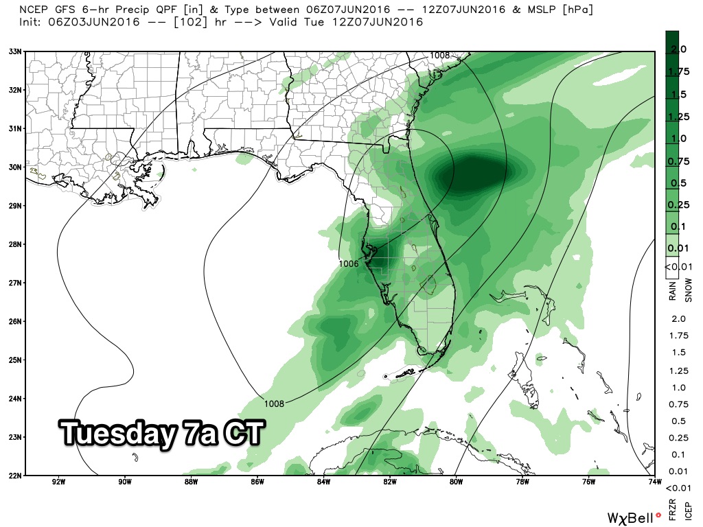
Understand this is just a one day event; if you have a trip planned for Disney World you will deal with rain on Tuesday, but the rest of the week will be dry with a good supply of sunshine each day. And, this will have no impact on Alabama or the Central Gulf Coast other than rip tides in coastal waters Monday and Tuesday.
WEATHERBRAINS: Don’t forget you can listen to our weekly 90 minute netcast anytime on the web, or on iTunes. This is the show all about weather featuring many familiar voices, including our meteorologists at ABC 33/40. You can find it here.
Category: Alabama's Weather
About the Author (Author Profile)
Scott Martin is an operational meteorologist, professional graphic artist, musician, husband, and father. Not only is Scott a member of the National Weather Association, but he is also the Central Alabama Chapter of the NWA president. Scott is also the co-founder of Racecast Weather, which provides forecasts for many racing series across the USA. He also supplies forecasts for the BassMaster Elite Series events including the BassMaster Classic.Subscribe
If you enjoyed this article, subscribe to receive more just like it.


