

Sun, Showers & Storms
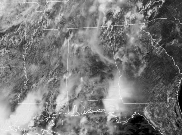
A very warm and muggy day continues across the state with scattered showers and storms. For the first half of the day, we were mainly cloudy, then early this afternoon more sun peeked through.
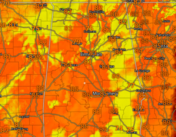
Temperatures are being held down today compared to the past few days with lower and mid 80s out there this afternoon, but with dew points in the upper 60s and lower 70s, it is rather humid.
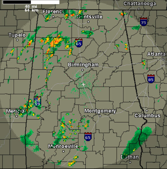
What you see is what you get the rest of today, showers and storms are possible at just about any time, and they are numerous and scattered in nature. Just be prepared to dodge some rain at times today and during the overnight hours. As we have seen the past few days, storms will be capable of gusty winds, small hail, and dangerous lightning. Be weather aware, and we always say, when thunder roars, go indoors.
Sunday is going to be almost identical to today as it should be another relatively wet day for much of the Southeast. The major trough moves slowly across the eastern half of the country. The trough should drag a cold front into the area keeping our chance for showers and storms high once again. Clouds and numerous storms will keep temperatures down once again with highs in the lower 80s.
Severe weather is not expected, but the SPC does have much of the Alabama outlined in a “marginal risk” of severe weather. This is level one of five levels on the risk scale.
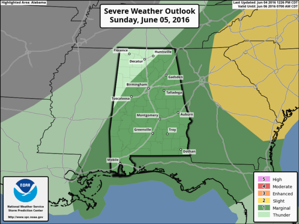
We could certainly see a few strong storms with gusty winds, small hail, and frequent lightning tomorrow, but widespread severe weather is not expected.
Category: Alabama's Weather
About the Author (Author Profile)
Macon, Georgia Television Chief Meteorologist, Birmingham native, and long time Contributor on AlabamaWX. Stormchaser. I did not choose Weather, it chose Me. College Football Fanatic. @Ryan_StinnetSubscribe
If you enjoyed this article, subscribe to receive more just like it.


