Heating On Up Today, But Chance Of Showers Could Increase
Across Central Alabama at this hour, skies are clear except for a few clouds floating overhead in parts of Pickens, Greene, Tuscaloosa, Hale, and Bibb counties. These won’t interrupt the sun much today at all.
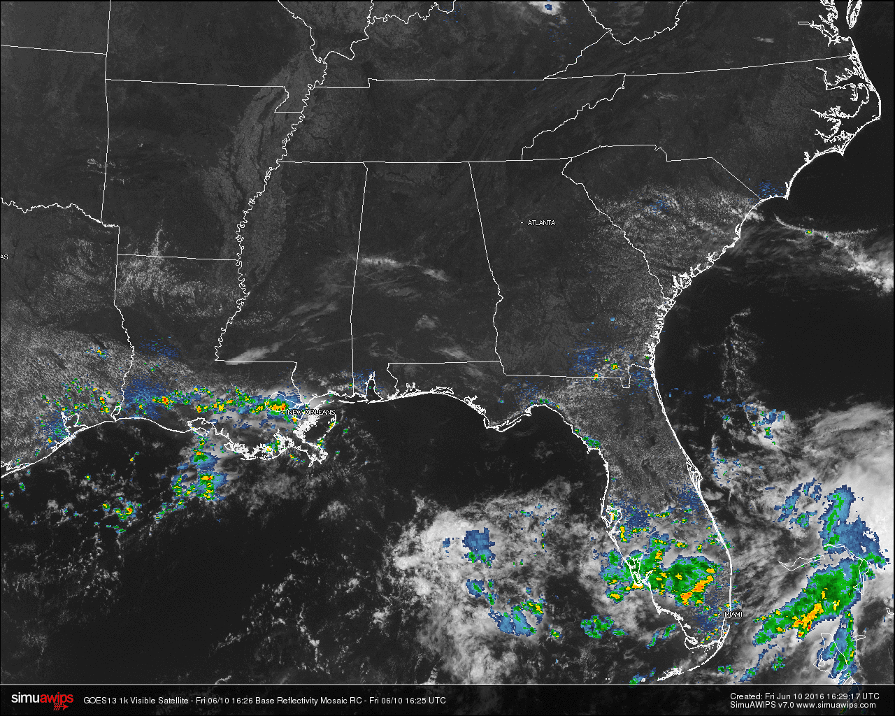
TEMPERATURES ACROSS THE AREA
Most of the readings in Central Alabama are up in the 80s, and with the dewpoints starting to creep up to the 60s, it will begin to feel even hotter and more uncomfortable. Here is a list of readings form around the state:
Birmingham: 84
Tuscaloosa: 83
Anniston: 82
Muscle Shoals: 82
Huntsville: 82
Alexander City: 81
Montgomery: 86
Dothan: 88
Mobile: 86
REST OF TODAY
Mostly sunny skies with a few more cirrus clouds possibly forming during the afternoon hours. Scattered storms may form in extreme South Alabama, but we should stay dry. Afternoon highs should reach the upper 80s to the low 90s in some spots today. Heat index will be in the low 90s for much of Central Alabama. Skies will be clear and overnight lows will be in the 60s.
TODAY’S CLIMATOLOGY FOR BIRMINGHAM
The normal high for June 10th in Birmingham is 87F, and the normal low is 64F. The record high for this date, in Birmingham, was set back in 1963 at 97F. The record low of 50F was set back in 1988.
CODE ORANGE AIR QUALITY ALERT
Air quality index for the Birmingham metropolitan area for today is in the Code Orange range for ozone. People with lung or heart disease, people who are active outdoors, and children and older adults should limit prolonged outdoor exertion.
THE WEEKEND
There may be a risk for isolated showers and storms tomorrow afternoon, otherwise much of the area will stay dry on Saturday, with a mix of sun and clouds. Afternoon highs will reach the low 90s. On Sunday, a mix of sun and clouds, but with the upper ridge starting to weaken, we will have a chance of scattered afternoon and evening showers and thunderstorms. Highs once again will reach the low 90s.
TROPICS
The Atlantic Basin is quiet and tropical storm formation is not expected over the next five days..
HEADED TO THE BEACH
About 7 to 9 hours of sunshine for the Gulf Coast from Panama City Beach over to Gulf Shores through early next week, with the daily chance of scattered thunderstorms. Highs will be in the 80s on the immediate coast, with low 90s inland. The sea water temperature early this morning at the Dauphin Island Sea Lab is 84 degrees. See a very detailed Gulf Coast forecast here.
WEATHERBRAINS
This is the show all about weather featuring many familiar voices, including our meteorologists at ABC 33/40. Don’t forget you can listen to our weekly 90 minute netcast anytime on the web, or on iTunes. You can find it here.
Category: Alabama's Weather
About the Author (Author Profile)
Scott Martin is an operational meteorologist, professional graphic artist, musician, husband, and father. Not only is Scott a member of the National Weather Association, but he is also the Central Alabama Chapter of the NWA president. Scott is also the co-founder of Racecast Weather, which provides forecasts for many racing series across the USA. He also supplies forecasts for the BassMaster Elite Series events including the BassMaster Classic.Subscribe
If you enjoyed this article, subscribe to receive more just like it.


