

Daily Showers in the Week Ahead
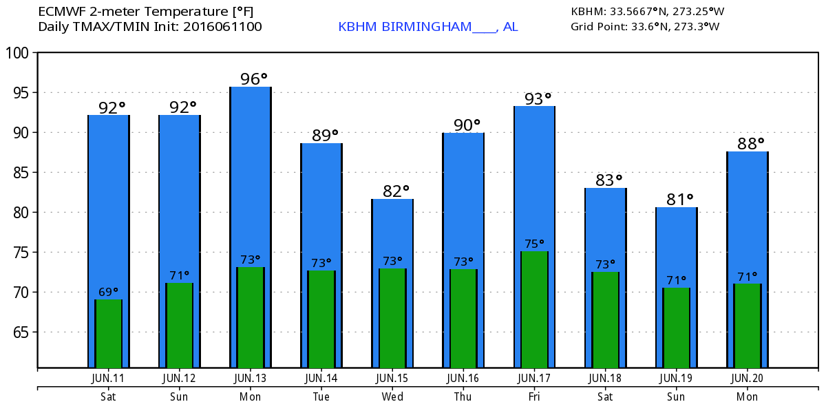
Alabama is waking up to mostly clear skies with a few patches of clouds here and there and one lone shower over northern Greene County. After several very nice days with lower humidity, the moisture levels have risen with dew points in Central Alabama in the lower 60s. Those values will continue to climb leveling off in the upper 60s and lower 70s. While the upper air pattern remains essentially a ridge, there will be chances of showers and thunderstorms each day. Today will see isolated showers with most of us staying dry as afternoon highs climb into the lower and middle 90s.
For beachgoers, you can expect about 7 to 9 hours of sunshine for the Gulf Coast from Dauphin Island to Panama City Beach into next week, with the daily chance of scattered thunderstorms. Highs will be in the 80s on the immediate coast, with lower 90s inland. The sea water temperature at the Dauphin Island Sea Lab was 84 degrees. See a very detailed Gulf Coast forecast here.
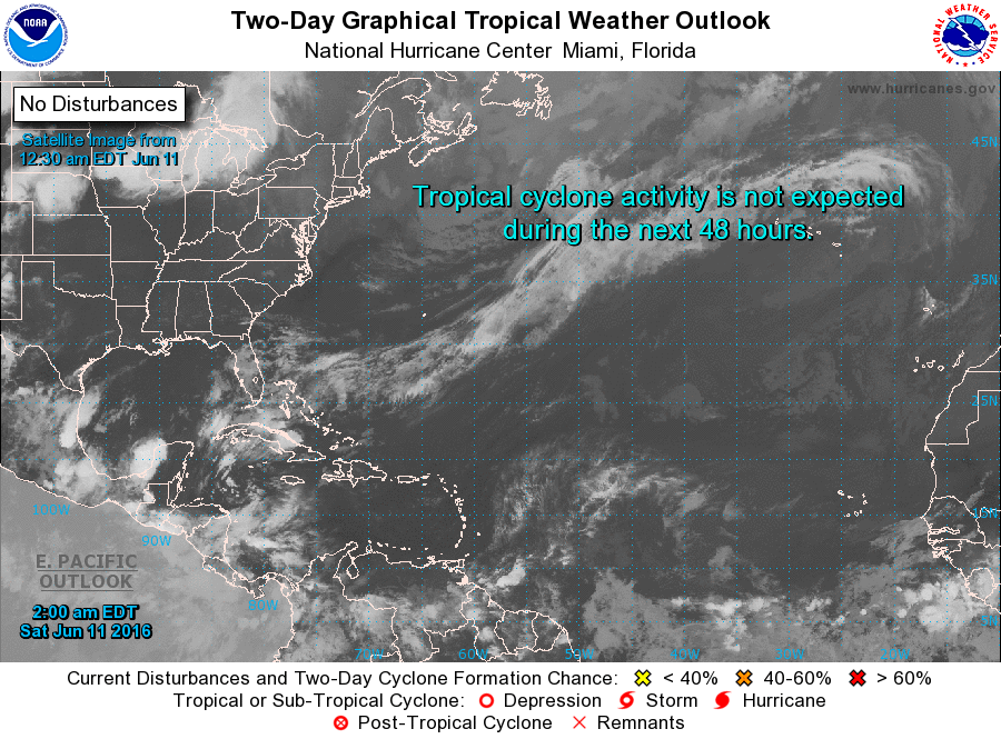
And for those watching the tropical situation, all is quiet this morning and expected to remain that way for the next five days.
While the overall upper air pattern remains one of a ridge over the eastern US, there are a couple of features that will help add to our overall chances for showers and thunderstorms. Beginning Monday, the first is a small upper air trough that will actually work its way through this upper ridge moving from the Central Plains states into the Southeast US by Wednesday. This feature should help to generate better chances for additional showers especially on Tuesday and Wednesday.
The second feature begins on Wednesday as a short wave trough moves southward out of the western Great Lakes area. The GFS actually cuts of a closed low on Friday over eastern Kentucky and moves it slowly to the southwest as it becomes completely detached from the general flow pattern. The presence of this upper close low into the weekend should also help to produce greater shower and thunderstorm coverage for the weekend.
So everyone will have a chance of seeing showers in the week ahead, but temperatures will remain warm with highs most days in the lower 90s with those morning lows in the lower 70s.
The GFS holds the promise of some changes as we head out into voodoo country. We end the seven day forecast with a ridge in the western US. The GFS holds the ridge over the western states and develops a fairly deep trough over the eastern US. This pattern should be conducive to some drier air and slightly cooler temperatures with a nice northwesterly flow aloft while the big time heat remains with the ridge well to our west.
I’m headed out to the community event sponsored by the Quad Cities Fire Department for the area east of Anniston along Highway 9. Then I’ll be filling in for Meaghan Thomas on the news at 6 pm on ABC 3340. So a full day ahead. I expect to have the next Weather Xtreme Video posted here by 8 am or so on Sunday. Enjoy the day and Godspeed.
-Brian-
Category: Alabama's Weather
About the Author (Author Profile)
Brian Peters is one of the television meteorologists at ABC3340 in Birmingham and a retired NWS Warning Coordination Meteorologist. He handles the weekend Weather Xtreme Videos and forecast discussion and is the Webmaster for the popular WeatherBrains podcast.Subscribe
If you enjoyed this article, subscribe to receive more just like it.


