Midday Nowcast: Muggy Air and Showers
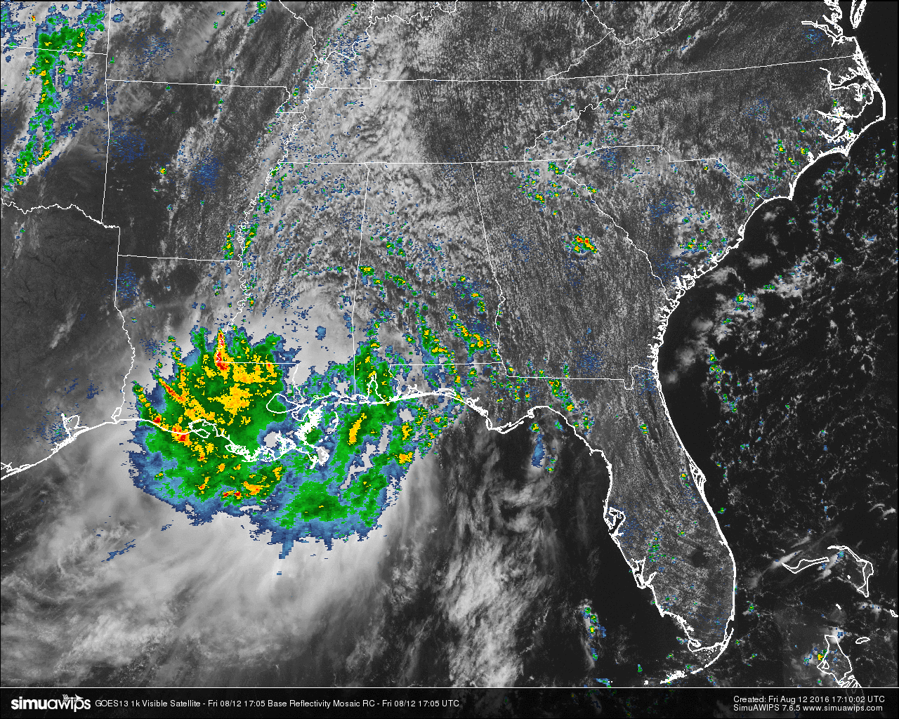
Here is another day and we are still dealing with clouds and showers rotating around this quasi-stationary low that is located in southeastern Louisiana. Most of the rainfall in the state is located in the southern parts of the state, while torrential rainfall is continuing to fall over parts of Louisiana and extreme southern Mississippi. Flash flood warnings are issued in the rain-drenched parishes of east and central Louisiana, and the southern counties of Mississippi.
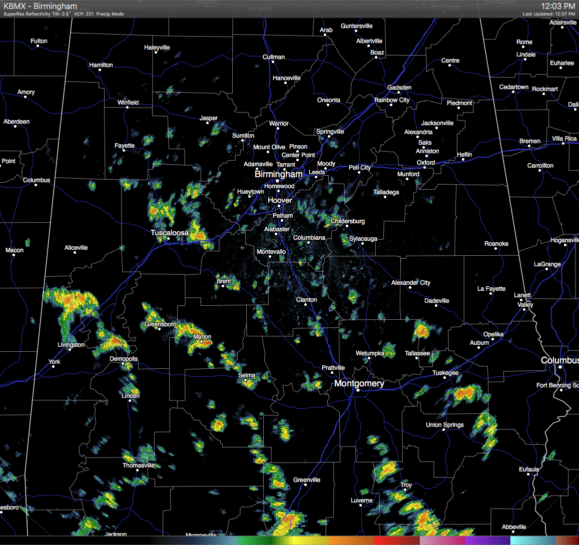
Here in Central Alabama, skies are mostly cloudy, and the rainfall is more scattered in nature, with most located south of the I-20 corridor. Showers are moving mainly to the north as they continue to rotate on the east side of the low.
TEMPERATURES AT THIS HOUR: With the clouds and rainfall, temperatures are being held back in some spots. Here is a list of temperature observations from across the area:
Birmingham 80
Tuscaloosa 82
Gadsden 84
Anniston 83
Cullman 80
Hamilton 81
Clanton 80
Alexander City 79
Montgomery 85
WHAT TO EXPECT FOR TODAY: Skies will remain partly to mostly cloudy throughout the remainder of the day, and with the airmass over Alabama still being very moist, showers and a few thunderstorms will increase in coverage. Areas west of I-65 will have better rainfall coverage due to lift and deeper moisture levels. Afternoon highs will be in the upper 80s to 90 degrees.
CODE GREEN AIR QUALITY: The Air Quality Index for the Birmingham Metropolitan Area is in the “Code Green” for ozone and particulate matter 2.5. No actions needed.
TODAY’S CLIMATOLOGY FOR BIRMINGHAM: The normal high for August 12th is 91, while the normal low is 69. The record high for today was set back in 2007 at 102. The record low was set back in 1969 at 58.
THE WEEKEND WEATHER: A mix of sun and clouds throughout Saturday and Sunday, with high humidity levels, and scattered afternoon showers and thunderstorms. Afternoon highs will be at or near 90 degrees on both days, and the odds for any one spot getting rain is about one in three.
HEADED TO THE BEACH: A flash flood watch remains in effect today from Dauphin Island and Gulf Shores eastward to Destin, but weather conditions will improve over the weekend with increasing amounts of sunshine and fewer showers and thunderstorms. See a very detailed Gulf Coast forecast here.
THE TROPICS: The Atlantic basin remains very quiet, and tropical storm formation is not expected through next week. In its updated 2016 Atlantic Hurricane Season Outlook released yesterday, NOAA calls for a higher likelihood of a near-normal or above-normal season. Forecasters now expect a 70-percent chance of 12–17 named storms, of which 5–8 are expected to become hurricanes, including 2–4 major hurricanes. The initial outlook called for 10–16 named storms, 4–8 hurricanes, and 1–4 major hurricanes. The seasonal averages are 12 named storms, 6 hurricanes and 3 major hurricanes. The season runs through the end of November.
ON THIS DAY IN 1989: Thunderstorms were scattered across nearly every state in the Union by late in the day. Thunderstorms produced wind gusts to 75 mph at Fergus Falls MN, and golf ball size hail and wind gusts to 60 mph at Black Creek WI. In the Chicago area, seven persons at a forest preserve in North Riverside were injured by lightning. (The National Weather Summary)
THE BLOG IS ON TWITTER: Be sure to follow the Alabama Wx Weather Blog on Twitter. Just click here to start following our feed.
WEATHERBRAINS: This is the show all about weather featuring many familiar voices, including our meteorologists at ABC 33/40. You can listen anytime on the web, or on iTunes. You can find it here.
ADVERTISE WITH US: Deliver your message to a highly engaged audience by advertising on the AlabamaWX.com website. The site enjoyed 10.2 MILLION pageviews in the past 12 months. Don’t miss out! We can customize a creative, flexible and affordable package that will suit your organization’s needs. Contact Bill Murray at (205) 687-0782.
Category: Alabama's Weather
About the Author (Author Profile)
Scott Martin is an operational meteorologist, professional graphic artist, musician, husband, and father. Not only is Scott a member of the National Weather Association, but he is also the Central Alabama Chapter of the NWA president. Scott is also the co-founder of Racecast Weather, which provides forecasts for many racing series across the USA. He also supplies forecasts for the BassMaster Elite Series events including the BassMaster Classic.Subscribe
If you enjoyed this article, subscribe to receive more just like it.


