At Midday, I Can See Clearly Now The Fog Is Gone
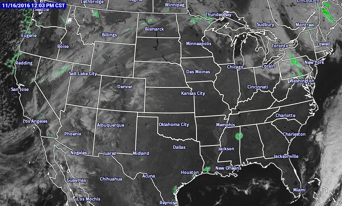
After the fog has lifted across Central Alabama, skies are completely clear at the midday hour on your “Hump Day.” These clear skies are allowing temperatures to climb nicely towards the afternoon expected highs. Looking across the lower 48, the nearest rainfall to us is located up in Pennsylvania and New York.
BIRMINGHAM’S CLIMATOLOGY AND RECORDS
The normal high for November 16th is 64, while the normal low is 42. The record high for today was set back in 1978 at 81. The record low was set back in 1940 at 19.
NO OUTDOOR BURNING AT ALL
Today will mark the 59th consecutive day of no rain for the Birmingham area, the longest on record. A Drought Emergency continues in effect, banning any outdoor burning for all counties in the state. Click here for more information. According to the latest drought monitor data, 52% of Alabama is now classified under an “exceptional” or “extreme” drought condition, which is pretty much all of the northern half of the state. Be sure to conserve water as well, as the Birmingham Water Works remains in a “Stage 4 Drought Emergency.”
REMAINDER OF TODAY
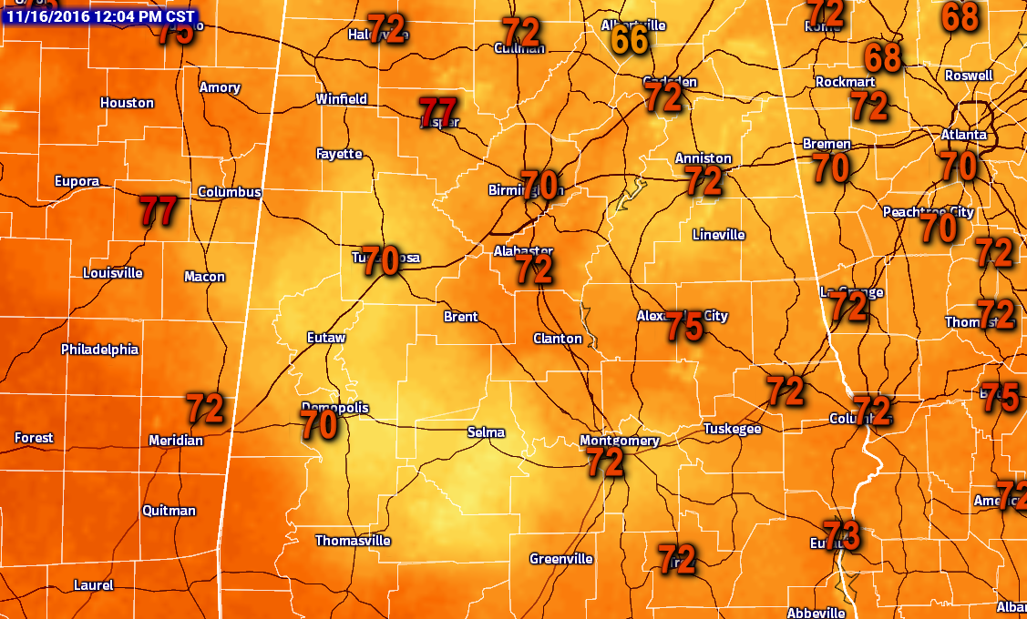
Sunshine to the max for the remainder of the afternoon and early evening hours, with afternoon highs in the 72 to 76 degree range across Central Alabama. Skies will remain clear and temperatures will be cool for the evening and overnight hours. Lows will bottom out in the 40s, with a few of the colder pockets dipping down into the 30s.
THURSDAY’S FORECAST
Another beautiful but warm Autumn day across Central Alabama. Maximum sunshine is expected across the area, and afternoon highs will be in the 76 to 82 degree range. Birmingham should top out at 79 degrees, which will only be 3 degrees short of the record high of 82 set back in 1958.
GULF COAST FORECAST
Sunny days, fair nights on the coast from Panama City Beach to Gulf Shores through the weekend. Highs in the 70s through Friday, falling into the 60s this weekend. See a very detailed Gulf Coast forecast here.

UPDATE ON THE TROPICS
A disturbance in the western Caribbean has a chance of becoming better organized in coming days, but steering currents are week, and it will just hang around in the same place off the Central American coast through the weekend.
ON THIS DAY IN 1959
The most severe November cold wave in U.S. history was in progress. A weather observing station located 14 miles northeast of Lincoln MT reported a reading of 53 degrees below zero, which established an all-time record low temperature for the nation for the month of November. Their high that day was one degree above zero.
NUMBER OF THE DAY: 0
As of yesterday, there have been zero reported tornadoes in the United States since the beginning of the month. From 1950 to 2011, there have been 2,205 total tornadoes that have occurred in the month of November, which averages out to 35.6 in that timespan. There has been a tornado-free November, and that was back in 1976. The highest total for November is 150 tornadoes, which has happened twice (2004, 2005).
FOLLOW THE BLOG ON TWITTER
Be sure to follow the Alabama Wx Weather Blog on Twitter. Just click here to start following our feed.
WEATHERBRAINS
This is the weekly netcast that’s all about weather featuring many familiar voices, including our meteorologists at ABC 33/40. You can listen anytime on the web, or on iTunes. You can find it here.
Forecaster: Scott Martin (Twitter: @scottmartinwx)
Category: Alabama's Weather
About the Author (Author Profile)
Scott Martin is an operational meteorologist, professional graphic artist, musician, husband, and father. Not only is Scott a member of the National Weather Association, but he is also the Central Alabama Chapter of the NWA president. Scott is also the co-founder of Racecast Weather, which provides forecasts for many racing series across the USA. He also supplies forecasts for the BassMaster Elite Series events including the BassMaster Classic.Subscribe
If you enjoyed this article, subscribe to receive more just like it.


