Significant Weather Advisory for Parts of Marion County Until 1:15 AM CST
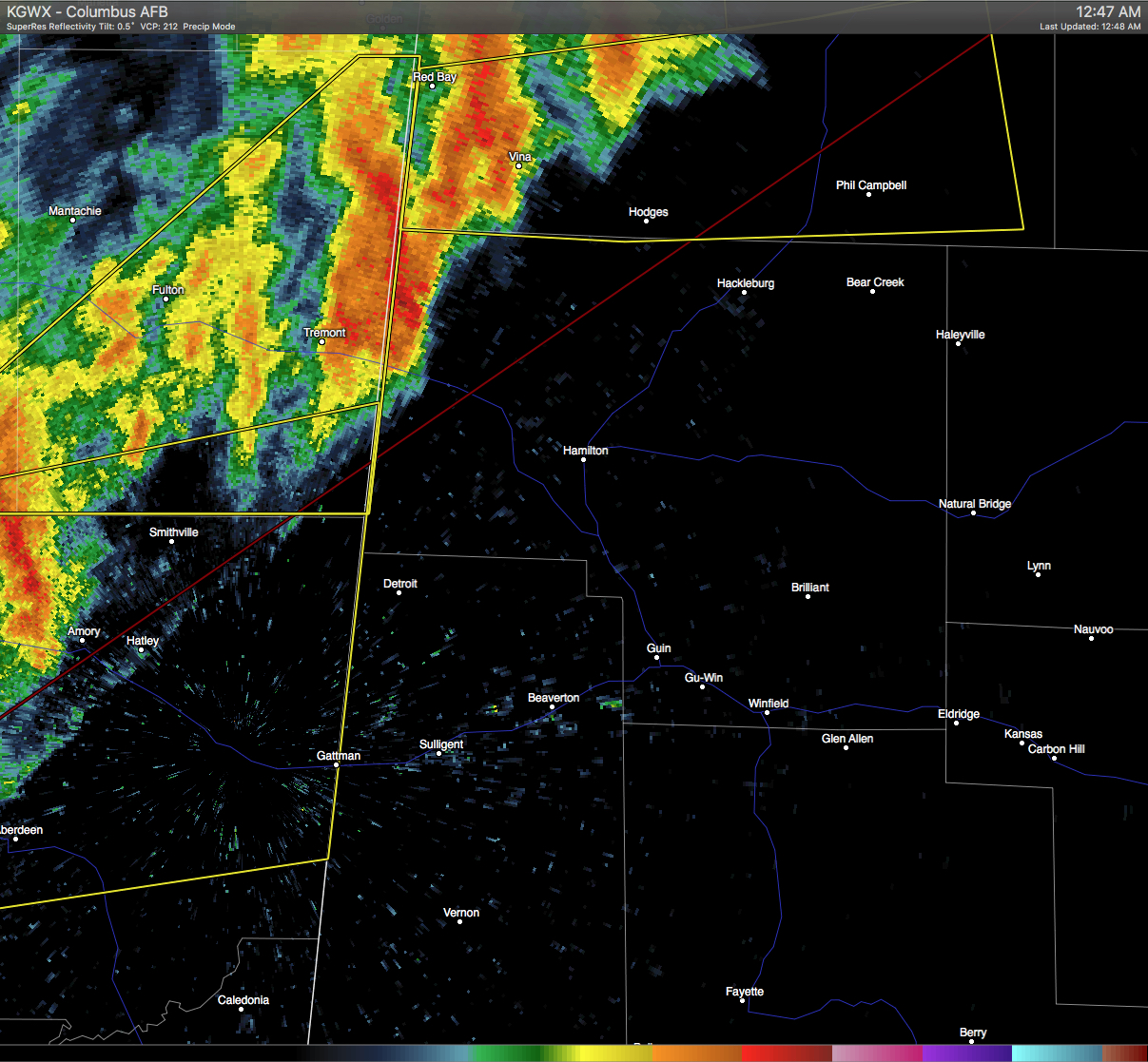
At 1247 AM CST, Doppler radar was tracking strong thunderstorms along a line extending from 8 miles southeast of Fairview to near Tremont. Movement was northeast at 70 mph. Wind gusts of 50 to 55 mph will be possible with these storms.
Locations impacted include… Hackleburg, Bear Creek, Pigeye, Bexar, Tessner, Shottsville and Upper Bear Creek Reservoir.
Category: Alabama's Weather, Current Warnings, Severe Weather
About the Author (Author Profile)
Scott Martin is an operational meteorologist, professional graphic artist, musician, husband, and father. Not only is Scott a member of the National Weather Association, but he is also the Central Alabama Chapter of the NWA president. Scott is also the co-founder of Racecast Weather, which provides forecasts for many racing series across the USA. He also supplies forecasts for the BassMaster Elite Series events including the BassMaster Classic.Subscribe
If you enjoyed this article, subscribe to receive more just like it.


