Cold Front will Put an End to the Clouds, Showers, Humidity and Unseasonable Warmth
Clouds are thick across much of Central Alabama late on this Sunday morning. They are moving southeast ahead of a cold front that will be also moving southeast across the area today and tonight.
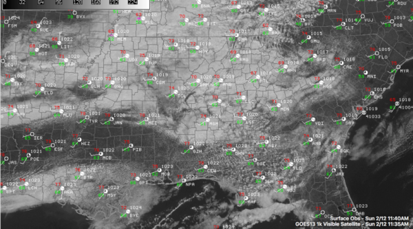
That front is near Memphis at this hour. It will pass through Birmingham late this afternoon and will be out in the Gulf of Mexico by tomorrow morning.
The indirect culprit is a big storm system that has brought rain and snows to California and is bringing winter storm conditions to much of New Mexico this morning. Ahead of the big trough over the West, pressures are ridging up over Texas and further downstream, buckling into a trough over us.
The weakness in the pressure field is allowing the front to steal a Gulf Coast vacation out of the deal. After highs in the 70s today, we will be limited to the 50s tomorrow. The airmass across Central Alabama is humid, with dewpoints in the lower 60s. We will see a few showers get shaken out of this rather soupy airmass today.
The expected high at Birmingham today of 74F is just 4 degrees lower than the record high for the date, established in 1922.
Lows by morning will be in the upper 30s to near 40F.
Monday will be a partly cloudy day and most of Tuesday will be dry as well. But as the low out west makes its move toward us, rain will arrive late Tuesday night and continue through the morning hours Wednesday. Rainfall amounts will be around one half inch.
Category: Alabama's Weather
About the Author (Author Profile)
Bill Murray is the President of The Weather Factory. He is the site's official weather historian and a weekend forecaster. He also anchors the site's severe weather coverage. Bill Murray is the proud holder of National Weather Association Digital Seal #0001 @wxhistorianSubscribe
If you enjoyed this article, subscribe to receive more just like it.


