At Midday, Rain Continues To Fall Across Much Of Central Alabama
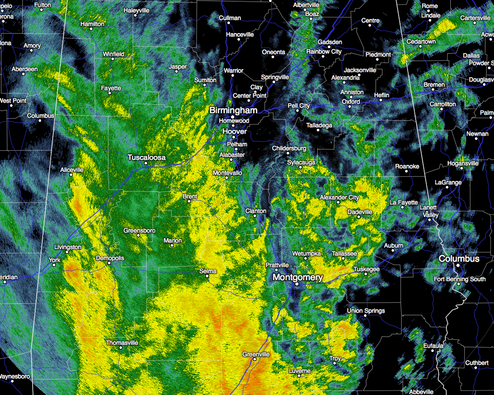
As the title of this post states, much of the Central Alabama area is experiencing rainfall at the midday hour. There is a small break in the action across and around the I-65 corridor from the Alabama/Tennessee state line south to the northern part of Chilton County. The rain shield is making very slow progress to the east, as the flow of moisture in the rain shield is moving almost due north. All of it is just a good soaking rain that we really need to help combat the drought deficit. The closest lightning at the moment is located near Eglin Air Force Base and Destin Florida. Highs for today will be in the mid 60s to the lower 70s across the area, with lows in the mid to upper 50s.
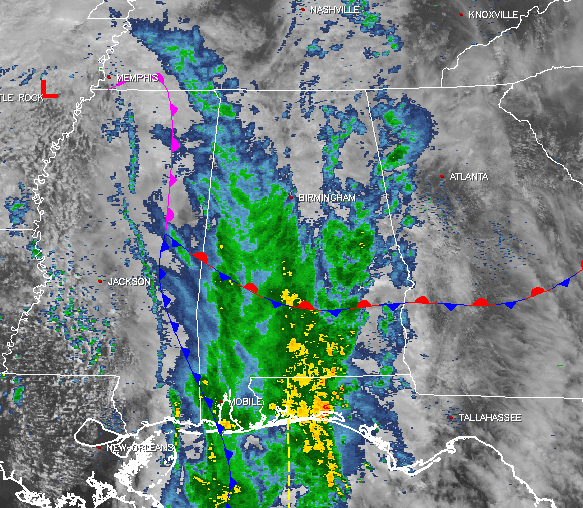
Back to our west, the rain shield ends in the eastern parts of Mississippi along a surface boundary. That will slowly push through the area during the late night hours tonight and into the predawn hours on Wednesday. The latest run of the NAM-4k is showing some scattered light showers could linger around during the day on Wednesday, as moist air continues to wrap around the top of a surface low located in the northern Gulf of Mexico. Skies will otherwise stay generally cloudy, and highs will be in the lower to mid 70s across the area for Wednesday.
Temperatures Across Central Alabama
At 11:55 AM, temperatures are ranging from the upper 50s to the mid 60s across the area. It is currently 61ºF at the Birmingham Airport, and pretty similar to that in both the Tuscaloosa and Anniston areas. The warm spot is currently Eufaula at 72ºF, where it is currently not raining yet. The cool spot is Alexander City at 58ºF.
Birmingham’s Climatology And Records
The normal high for February 21st is 60ºF, while the normal low is 37ºF. The record high for today was set back in 1922 at 78ºF. The record low was set back in 1963 at 18ºF.
The Beach Forecast
After rain and a few thunderstorms throughout today and scattered showers tomorrow, sunshine makes a return and hangs around from Thursday through the day on Monday. Highs will be in the upper 60s to the lower 70s from Ft. Morgan over to Panama City Beach. Click here to see the Beach Forecast Center page.
Save Up To 25% on Spring Break Beach Vacations on the Alabama Gulf Coast with Brett/Robinson! The Beach Forecast is partially underwritten by the support of Brett/Robinson Vacation Rentals in Gulf Shores and Orange Beach. Click here to see Brett/Robinson’s best beach offers now!.
On This Day In Weather History: 1971
An outbreak of tornadoes hit northeastern Louisiana and northern and central Mississippi. The tornadoes claimed 121 lives, including 110 in Mississippi. Three tornadoes accounted for 118 of the deaths. There are 1600 persons injured, 900 homes were destroyed or badly damaged, and total damage was 19 million dollars.
Follow The Blog On Social Media
Remember that we are also on Facebook and on Twitter.
WeatherBrains
To hear the latest of the weekly netcast that’s all about weather featuring many familiar voices, including our meteorologists at ABC 33/40, you can listen anytime on the web at Weatherbrains.com, or on iTunes.
Forecaster: Scott Martin (Twitter: @scottmartinwx)
Category: Alabama's Weather
About the Author (Author Profile)
Scott Martin is an operational meteorologist, professional graphic artist, musician, husband, and father. Not only is Scott a member of the National Weather Association, but he is also the Central Alabama Chapter of the NWA president. Scott is also the co-founder of Racecast Weather, which provides forecasts for many racing series across the USA. He also supplies forecasts for the BassMaster Elite Series events including the BassMaster Classic.Subscribe
If you enjoyed this article, subscribe to receive more just like it.


