Clouds Linger Today; Some Light Rain/Drizzle
RADAR CHECK: Early this morning the bulk of the rain on radar was south and east of Birmingham…
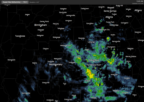
Clouds still blanket all of Alabama, and there is some patchy drizzle over the northern half of the state. The upper low responsible for the widespread rain yesterday is moving southeast, toward the eastern Gulf of Mexico, and the lingering light rain will taper off by midday today. Some places might see a peek of sun this afternoon, and the high will be at or just over 70 degrees in most places.
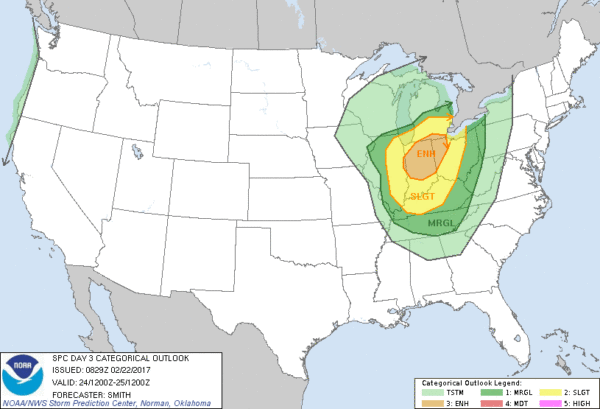
TOMORROW/FRIDAY: Tomorrow will be a warm, dry late February day with a high in the upper 70s with a partly sunny sky. Pretty much the same story during the day Friday, mixed sun and clouds with a high approaching 80 degrees. But, to the north, a deep surface low will move toward the Great Lakes, setting up a severe weather threat for Indiana and adjacent states. The trailing cold front will push through Alabama Friday night with a band of showers and thunderstorms, but we don’t expect any severe weather issues here with the main upper support so far north.
THE ALABAMA WEEKEND: Dry weather is the story Saturday and Sunday with mostly sunny cool days and clear cold nights. The high will be around 60 degrees both days, and many communities will see a freeze early Sunday morning with a low between 28 and 32 degrees.
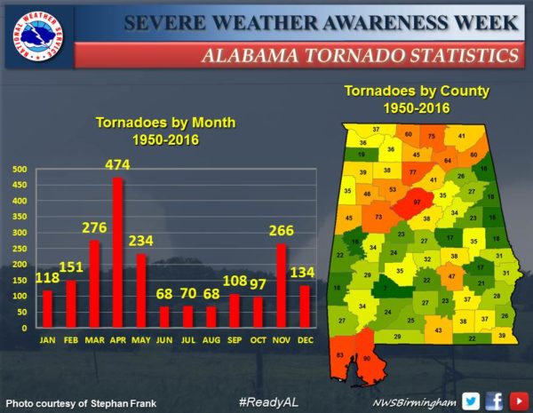
NEXT WEEK: It will bring the beginning of March, meteorological spring, and the start of the spring tornado season in Alabama. Monday looks dry and mild, then a few scattered showers could show up Tuesday. Wednesday will feature showers and thunderstorms, and we will need to monitor parameters for severe weather potential as we get closer to the date as a fairly robust upper trough will be approaching with a surface low north and west of Alabama. Cooler, drier air will return toward the end of the week. See the Weather Xtreme video for maps, graphics, and more details.
Click here to see the Beach Forecast Center page. Save Up To 25% on Spring Break Beach Vacations on the Alabama Gulf Coast with Brett/Robinson! The Beach Forecast is partially underwritten by the support of Brett/Robinson Vacation Rentals in Gulf Shores and Orange Beach. Click here to see Brett/Robinson’s best beach offers now!.
SEVERE WEATHER AWARENESS WEEK: The NWS is focusing on tornado safety today; be sure you family has a NOAA Weather Radio and a good warning app on smart phones so you won’t miss warnings. Know where you are going if a tornado warning polygon is issued for your neighborhood. Small room on the lowest floor, away from windows, and near the center of the house. Abandon mobile homes and cars. And, have a readiness kit in that safe place including helmets for everyone.
WEATHER BRAINS: Don’t forget you can listen to our weekly 90 minute netcast anytime on the web, or on iTunes. This is the show all about weather featuring many familiar voices, including our meteorologists here at ABC 33/40.
CONNECT: You can find me on all of the major social networks…
Facebook
Twitter
Google Plus
Instagram
Pinterest
Snapchat: spannwx
I have a weather program today at Springville Middle School… look for the next Weather Xtreme video here by 4:00 this afternoon. Enjoy the day!
Category: Alabama's Weather
About the Author (Author Profile)
James Spann is one of the most recognized and trusted television meteorologists in the industry. He holds the AMS CCM designation and television seals from the AMS and NWA. He is a past winner of the Broadcast Meteorologist of the Year from both professional organizations.Subscribe
If you enjoyed this article, subscribe to receive more just like it.


