

Interesting Advisory From NWS Birmingham for Tuscaloosa, Pickens, Marion, Winston, Fayette & Lamar Counties
At 808 AM CDT, an interesting pressure feature was moving into western Alabama. This was from previous thunderstorms which since have dissipated.
Winds gusts of 25 to 40 mph will be possible as this feature moves through. Only light showers at best are associated with this feature and the highest winds would be on the back side of the rain.
Therefore NWS Birmingham has issued a Significant Weather Advisory for Northwestern Walker, Northwestern Tuscaloosa, Northern Pickens, Marion, Winston, Fayette, and Lamar Counties until 9:00AM.
Locations impacted include…
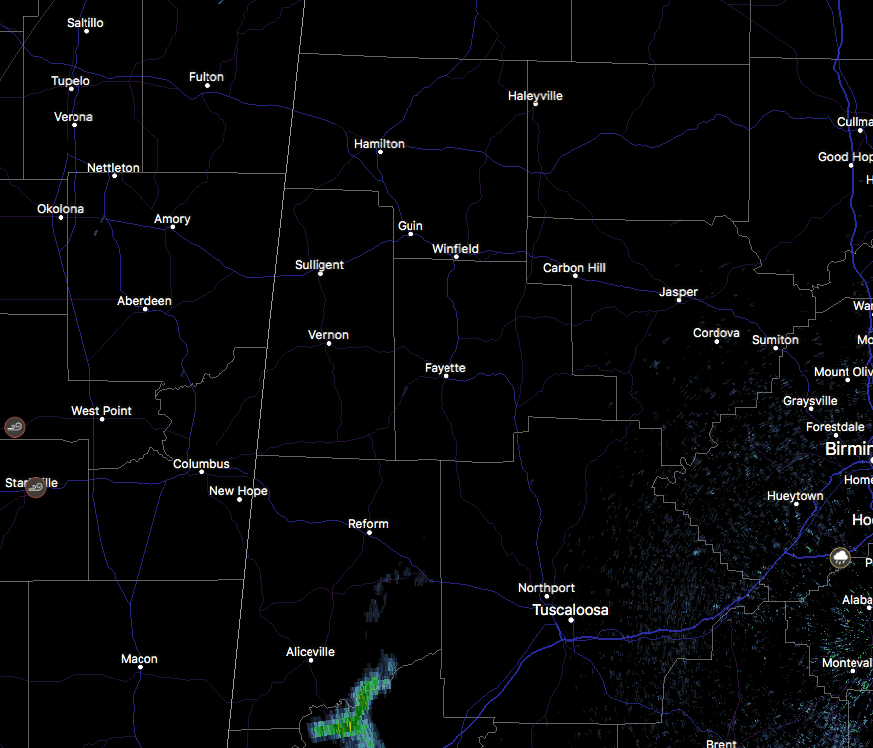
Jasper, Hamilton, Winfield, Fayette, Haleyville, Carbon Hill, Vernon, Sulligent, Gordo, Reform, Millport, Lynn, Pickensville, Arley, Guin, Hackleburg, Berry, Double Springs, Brilliant and Oakman.
There is a history of some damage being produced from this feature back into eastern parts of Mississippi, as numerous trees have been blown down due to this wake low feature.
Category: ALL POSTS, Severe Weather
About the Author (Author Profile)
Scott Martin is an operational meteorologist, professional graphic artist, musician, husband, and father. Not only is Scott a member of the National Weather Association, but he is also the Central Alabama Chapter of the NWA president. Scott is also the co-founder of Racecast Weather, which provides forecasts for many racing series across the USA. He also supplies forecasts for the BassMaster Elite Series events including the BassMaster Classic.Subscribe
If you enjoyed this article, subscribe to receive more just like it.


