

A Decent Midday Across Central Alabama, Few Showers Possible Today
IT’S ANOTHER GREAT LOOKING MIDDAY ACROSS CENTRAL ALABAMA
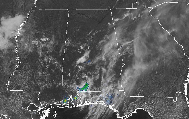
As we are leading up to the noon hour in Central Alabama, skies are mostly clear across much of the northern parts of the area, with a few more clouds hanging overhead the further south you go. The dewpoints out there have crept up into the upper 50s to the low 60s across much of Central Alabama, meaning that it will feel more humid outside.
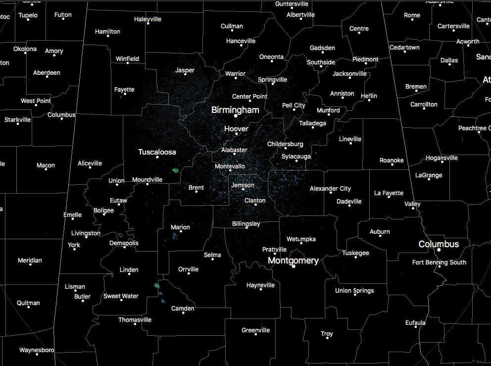
A few isolated showers have popped up out there, with the largest one just south of Coaling in southeastern Tuscaloosa County. Another small shower is located just to the southwest of the city of Marion.
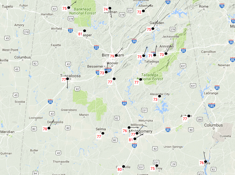
CENTRAL ALABAMA TEMPERATURES AT 11:41AM
Temperatures are currently ranging from the lower 70s to the lower 80s across the area, with the warmest spot being Montgomery at 81 degrees. The cool spot at the moment is Talladega at 71 degrees.
FOR THE REST OF TODAY
We’ll have a mix of sun and clouds throughout the remainder of the afternoon and early evening hours across Central Alabama, and a few widely spaced showers or thunderstorms could develop with the daytime heating. Shower activity will quickly diminish right after sunset, and tonight will be mostly clear throughout the area. Afternoon highs will be in the lower to mid 80 across Central Alabama, with overnight lows dropping only into the mid to upper 50s. Rain amounts will be light as we are working with limited moisture with this weak surface boundary that is currently over the area. Most will remain dry, but the odds of any one place getting rain today is around 1 in 5.
EVEN WARMER ON THURSDAY
With high pressure building over the area, conditions will dry out and warm even more across Central Alabama on Thursday. There is a very, very small risk that a shower or two could develop on the outer fringes of the high in the extreme northern parts of the area, but with the lack of moisture, I’ll keep those out of the forecast. Skies will be mostly sunny, and afternoon highs will be up in the lower to mid 80s, about a degree or two warmer than today. Thursday evening, and into the pre-dawn hours on Friday, will be mild with mostly clear skies. Overnight lows will be in the upper 50s to the lower 60s.
BEACHBOUND: For a detailed look at the weather from Fort Morgan over to Panama City Beach, Click here to see the Beach Forecast Center page. Save Up To 25% on Spring Break Beach Vacations on the Alabama Gulf Coast with Brett/Robinson! The Beach Forecast is partially underwritten by the support of Brett/Robinson Vacation Rentals in Gulf Shores and Orange Beach. Click here to see Brett/Robinson’s best beach offers now!
THIS DAY IN WEATHER HISTORY – April 12, 1927
A tornado wiped out the town of Rock Springs, TX, killing 72 persons and causing 1.2 million dollars damage. The tornado, more than one mile in width, destroyed 235 of 247 buildings, leaving no trace of lumber or contents in many cases. Many survivors were bruised by large hail which fell after the passage of the tornado.
WEATHERBRAINS: Don’t forget you can listen to the weekly 90 minute netcast anytime on the web, or on iTunes. This is the show all about weather featuring many familiar voices, including meteorologists at ABC 33/40. Shows are usually produced on Monday evenings starting at 8:30 CDT… you can watch it live here.
Category: Alabama's Weather, ALL POSTS
About the Author (Author Profile)
Scott Martin is an operational meteorologist, professional graphic artist, musician, husband, and father. Not only is Scott a member of the National Weather Association, but he is also the Central Alabama Chapter of the NWA president. Scott is also the co-founder of Racecast Weather, which provides forecasts for many racing series across the USA. He also supplies forecasts for the BassMaster Elite Series events including the BassMaster Classic.Subscribe
If you enjoyed this article, subscribe to receive more just like it.


