3:15 Update
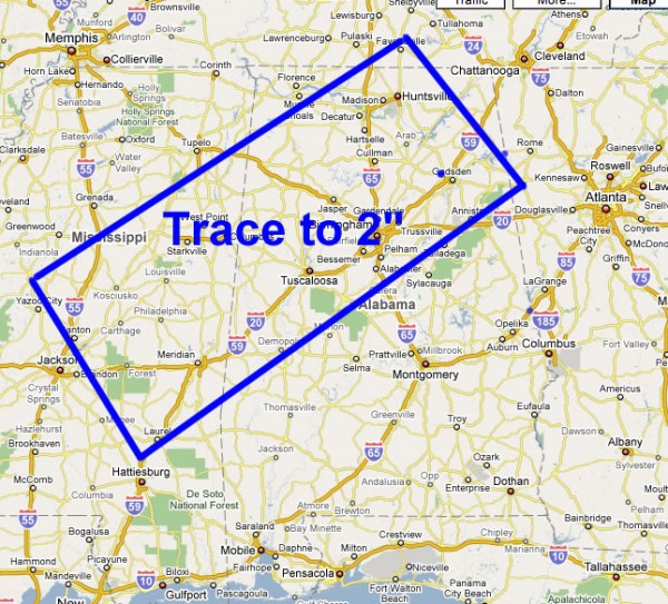
Looks like the SPC upper air charts are not exactly correct; we continue to see cold air aloft advect up into North Alabama, and considering the lack of echoes south of I-20, the original idea thrown out here last night seems to be the best one; which also agrees with the NWS outlook. Good doing on their part; I hate to be a flip-flopper, but we will have to adjust that box northward again.
As you can see, this is a “fly by the seat of your pants” event. One of the biggest problems is the lack of hourly upper air data. Even with the special balloon launches today by Jackson trying to determine the state of the atmosphere in a rapidly changing environment is almost impossible.
One big problem is still that the best moisture to the north is out of sync with the cold core to the south. There should be a sweet spot in there somewhere… bringing a nice coating of snow on grassy areas. Stay tuned… this situation remains a difficult forecast. This is yet another reason why I have no hair.
Category: Uncategorized


