Snow on Satellite
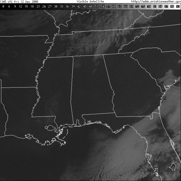
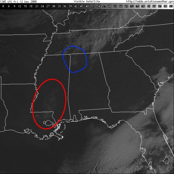
Here are two pictures from the visible satellite view of the Southeast this morning. Both pictures are the same, but I have annotated the second one to show the two main areas of snow that fell yesterday. This weather system was both typical and non-typical. It was typical in that the area of snow was a relatively narrow band which is fairly common in winter weather situations for the Southeast.
It was not so typical in the way the system created a discontinuous band of snow.
Just another great example of how difficult it is to forecast snow in this part of the country.
-Brian-
Category: Uncategorized


