

At Midday, Sunny Skies Have Returned To Central Alabama
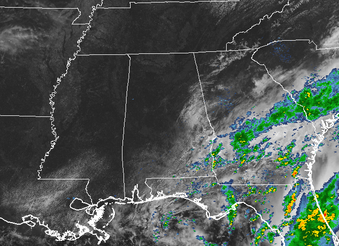
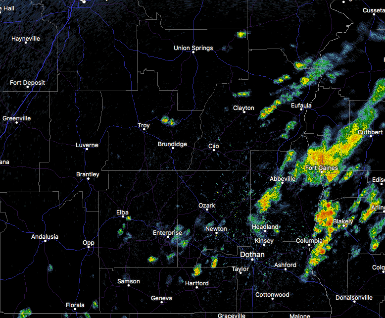
What a difference from yesterday to today across Central Alabama as we approach the noon hour. For most in the area, skies are sunny, but we do have some pesky clouds hanging tough over the eastern and southeastern parts. There are still a few showers over parts of Pike, Barbour, Bullock, and Russell counties. These are moving to the southwest at about 20 MPH.
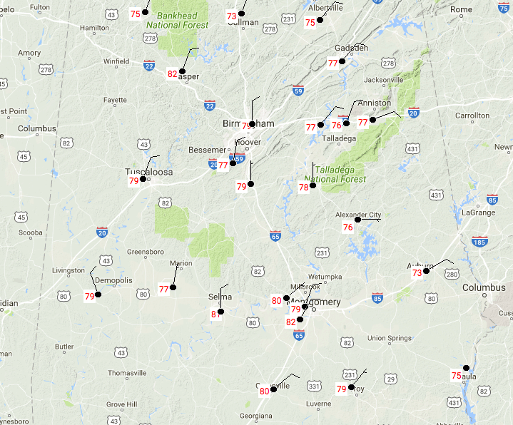
TEMPERATURES THROUGHOUT CENTRAL ALABAMA AT 11:23AM
Temperatures are currently ranging in the lower 70s to the lower 80s throughout the area at this point. Montgomery is currently the warm spot at 82 degrees, with the cool spot being Cullman at 73 degrees.
FOR THE REST OF TODAY
Mostly sunny and war temperatures can be expected for much of Central Alabama throughout the rest of the daytime hours, with some clouds sticking around the east and southeastern parts of the area. There is a risk for some scattered showers and a storm or two for the southeast corner of Central Alabama, but the rest of the area will be dry. Afternoon highs will be in the lower to mid 80s. All of Central Alabama will be dry this evening and into the overnight hours, underneath mostly clear to clear skies. Lows will drop down into the upper 50s to the lower 60s.
THURSDAY’S WEATHER
We will have mostly sunny skies and slightly cooler temperatures across Central Alabama tomorrow, but there is a very small risk of a shower or two over the east and northeastern parts of the area. The odds of any one spot in that part of the area getting any rain is less than 1 in 5. Afternoon highs will be in the upper 70s to the mid 80s across the area.
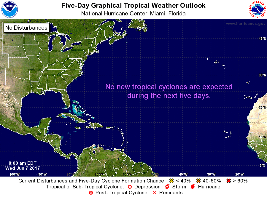
A LOOK AT THE TROPICS
All remains quiet and no tropical storms are expected to form within the next 5 days in the Atlantic or Gulf of Mexico.
HEADING TO THE BEACH
Click here to see the AlabamaWx Beach Forecast Center page. The Beach Forecast is partially underwritten by the support of Brett/Robinson Vacation Rentals in Gulf Shores and Orange Beach. Click here to see Brett/Robinson’s Own Your Summer specials now!
TODAY IN WEATHER HISTORY – 1989
Thunderstorms produced severe weather from southern Oklahoma and eastern Texas to northwestern Florida through the day and night. Thunderstorms spawned 22 tornadoes, including a dozen in Louisiana, and there were 119 reports of large hail and damaging winds. A strong (F-2) tornado at Gross Tete LA killed two persons, injured thirty others, and another strong (F-2) tornado injured 60 persons at Lobdell LA. Softball size hail was reported at Hillsboro TX.
WEATHERBRAINS
Don’t forget you can listen to our weekly 90 minute netcast anytime on the web, or on iTunes. This is the show all about weather featuring many familiar voices, including our meteorologists here at ABC 33/40. We will produce this week’s episode tonight at 8:30… you can watch it live here.
Category: Alabama's Weather, ALL POSTS
About the Author (Author Profile)
Scott Martin is an operational meteorologist, professional graphic artist, musician, husband, and father. Not only is Scott a member of the National Weather Association, but he is also the Central Alabama Chapter of the NWA president. Scott is also the co-founder of Racecast Weather, which provides forecasts for many racing series across the USA. He also supplies forecasts for the BassMaster Elite Series events including the BassMaster Classic.Subscribe
If you enjoyed this article, subscribe to receive more just like it.


