A Few Thoughts On Our Weather For Later Today
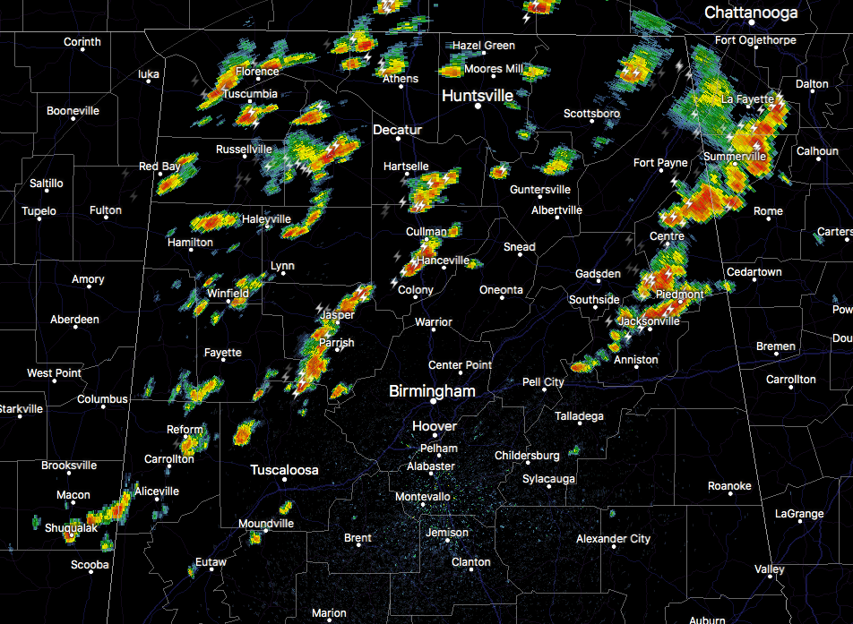
Storms are continuing to pulse up and down across north and central parts of Alabama as we have reached the 1 o’clock hour, but a quieting trend could be in store for later today.
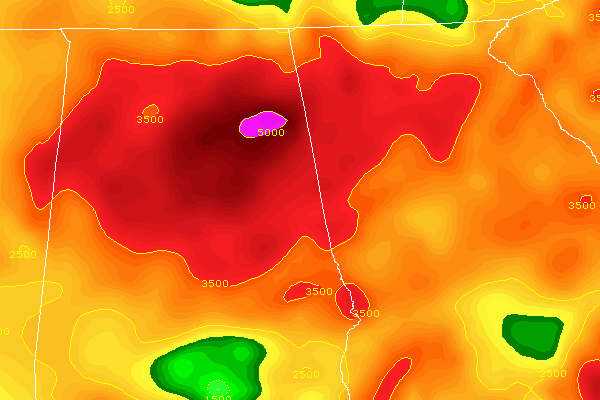
Surface-based CAPE
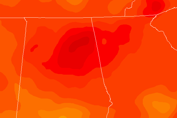
2m Temperatures
Current surface-based instability values (CAPE) are running in the 3500-5000 J/kg range which is incredibly high, and those higher values are correlating with higher 2m temperatures at this point. These are heavy rain producers as well due to the precipitable water values running in the 1.5-2.0 inch range.
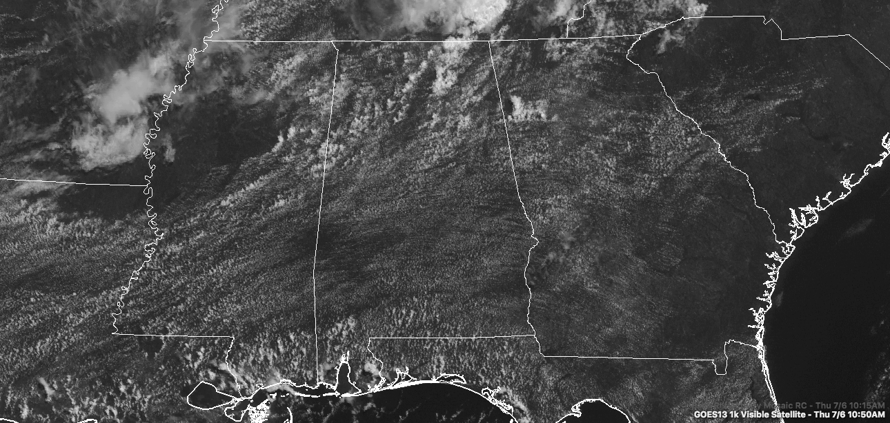
We notice back to our west in northern Mississippi, there is subsidence occurring thanks in part to a MCS that dissipated earlier and left a pool of cool air that has stabilized the atmosphere at this point. Moisture levels are still high over in that cold pool, actually higher than what is over Alabama at this point. That will start to move over into Alabama in a few minutes and could give us a quieter afternoon from west to east later on.
A few of the short range models are hinting that for much of Central Alabama, it will actually start to quiet down a little and further development could be hampered by this cold pool. Another model shows that more activity will fire up and continue through much of the evening. I’m going with the consensus on this one, especially as we look at radar from Mississippi, where it is almost completely rain free except for the extreme southern parts of the state.
Category: Alabama's Weather, ALL POSTS
About the Author (Author Profile)
Scott Martin is an operational meteorologist, professional graphic artist, musician, husband, and father. Not only is Scott a member of the National Weather Association, but he is also the Central Alabama Chapter of the NWA president. Scott is also the co-founder of Racecast Weather, which provides forecasts for many racing series across the USA. He also supplies forecasts for the BassMaster Elite Series events including the BassMaster Classic.Subscribe
If you enjoyed this article, subscribe to receive more just like it.


