

At Midday, A Heat Advisory Is In Effect… So Stay Cool Central Alabama

How’s Our Weather At Midday
We already have a few showers that have popped up out there in Central Alabama at the midday hour. One is located in the southern part of Jefferson County and stretching into the southwestern part of Shelby County. Another small shower has formed in the southeastern part of Coosa County. Both of these are making a slow drift southward. No lightning as of yet, but will be possible if they continue to build.

As you can see, with the exception of where those showers are currently located, skies are generally mostly clear, with convective cumulus clouds already forming in the heat of the day. Those are expected to continue to build throughout the afternoon, and so will the showers and storms.
Heat Advisory For Central Alabama
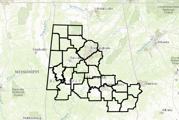
The National Weather Service in Birmingham has issued a Heat Advisory, which is in effect until 7:00 PM this evening for much of Central Alabama, including the cities of Hamilton, Sulligent, Vernon, Fayette, Double Springs, Jasper, Carrollton, Tuscaloosa, Birmingham, Hoover, Columbiana, Pelham, Alabaster, Livingston, Eutaw, Greensboro, Moundville, Marion, Centreville, Clanton, Demopolis, Linden, Selma, Prattville, Fort Deposit, Hayneville, Wetumpka, Tallassee, Montgomery, Tuskegee, Union Springs, Phenix City, Troy, and Eufaula.

Temperatures at 12:00 PM
At the midday hour, it is an already hot and steamy day across Central Alabama. Current temperatures are running in the 87-93 degree range, with Birmingham already at 93 degrees. The cool spot is currently Demopolis at 87 degrees. Dew points out there are in the mid to upper 70s, making the heat index values already crossing over the 100-degree mark in some spots.
Hot And Uncomfortable Conditions Continue Throughout Today
Cumulus clouds will continue to build throughout the afternoon hours as we reach the peak heating of the day. We will also have scattered showers and thunderstorms pop up across the area, with the better chances for those south of a line from Tuscaloosa to Alabaster to Anniston. Afternoon highs will be in the mid to upper 90s across much of the area, and heat index values will be in the 99-107 degree range.
Any shower or storm activity that is out there should dissipate before midnight, but one or two could linger just a little bit longer. It will be mostly clear and muggy throughout the overnight hours, with some patchy fog possible in some areas. Lows will be in the lower to mid 70s.
How About The Alabama Weekend
We’ll have a more unstable airmass over Central Alabama as the ridge begins to weaken. This will be an increase in our shower and storm chances, but it will also lower our heat levels a tad as well. Shower and storm activity will mainly be during the afternoon and evening hours, but with our airmass, a few could fire during the late morning and a few could extend into the late night hours. Highs will be in the upper 80s to the lower 90s. Odds of getting rain will be over 1 in 3 for Saturday, and just over 50/50 for Sunday.
Heading To The Beach
A decent supply of sunshine each day from today through Thursday, with the daily risk of showers and storms. Highs in the upper 80s to near 90 degrees on the beach, with lower to mid-90s inland. For a detailed look at the weather from Fort Morgan over to Panama City Beach, click here to see the AlabamaWx Beach Forecast Center page.
The Beach Forecast is partially underwritten by the support of Brett/Robinson Vacation Rentals in Gulf Shores and Orange Beach. Click here to see Brett/Robinson’s Own Your Summer specials now!

A Look At The Tropics
The Atlantic basin is very quiet, and mostly covered in the dry air coming off the African continent, and tropical storm formation is not expected over the next five days.
Today In Weather History
July 21, 1987 – Thunderstorms produced severe weather from Utah to North Dakota, spawning a dozen tornadoes in North Dakota. Thunderstorms in North Dakota also produced baseball size hail at Clifford which caused four million dollars damage, and high winds which toppled a couple of eighty-foot towers cutting off power to the town of Blanchard.
Category: Alabama's Weather, ALL POSTS
About the Author (Author Profile)
Scott Martin is an operational meteorologist, professional graphic artist, musician, husband, and father. Not only is Scott a member of the National Weather Association, but he is also the Central Alabama Chapter of the NWA president. Scott is also the co-founder of Racecast Weather, which provides forecasts for many racing series across the USA. He also supplies forecasts for the BassMaster Elite Series events including the BassMaster Classic.Subscribe
If you enjoyed this article, subscribe to receive more just like it.


