

Rush Hour Check On Our Weather, Rain Chances Will Stick Around
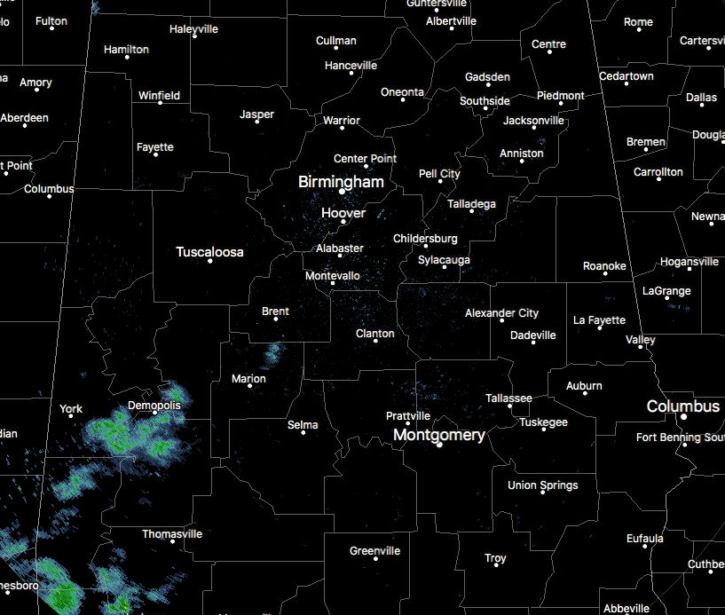
Radar at 4:10 PM shows main dry conditions across Central Alabama, with the exception of down in the southwestern parts of the area. A few returns are showing up over the extreme southern portions of Greene and Hale counties, along with southeastern Sumter and northwestern Marengo counties. These are very light at this time, and possibly may not be reaching the ground.
For the rest of this evening, skies will stay partly to mostly cloudy, with a small risk of isolated to scattered showers over the southern parts of Central Alabama, mainly south of a line from Demopolis to Clanton to Alexander City. Lows tonight will be in the upper 60s to the lower 70s.
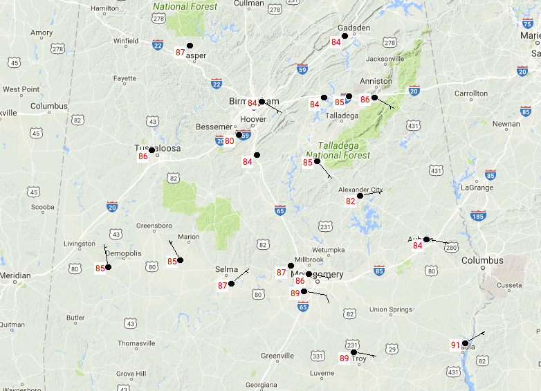
Here are the recorded high temperatures so far today across Central Alabama. Birmingham has only topped out at 84 degrees, while Eufaula was clearly the warmest spot so far today at 91 degrees. The cool spot for today was Bessemer at only 80 degrees.
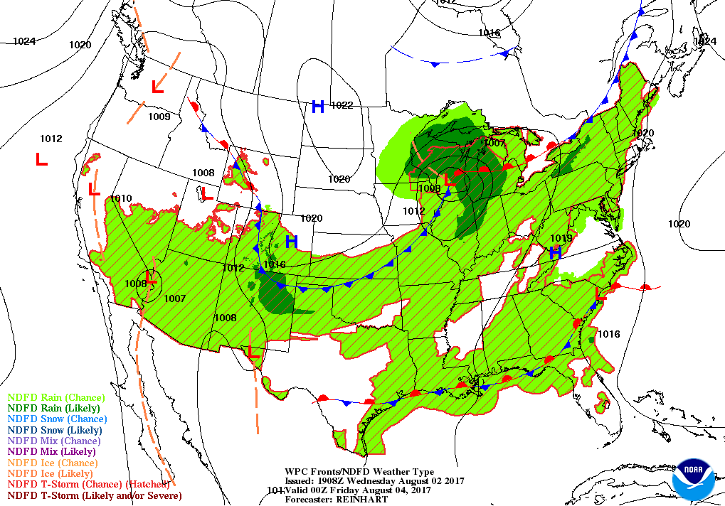
For tomorrow, the high pressure that has been in control of our weather for the past few days will have dissipated and the flow over Central Alabama will be back out of the south. This will bring in higher humidity levels, along with the risk of mainly scattered to numerous afternoon showers and storms, with the best chances of those in the southeastern part of the area. Afternoon highs will be in the lower 80s to the lower 90s, with the cooler temperatures where there is more rainfall. Rain will dissipate somewhat on Thursday evening and into the overnight hours, but a small risk of showers and storms will continue for the southeastern parts. Lows will be in the upper 60s to the lower 70s.
A cold front makes its way into the area late on Friday, providing us with enough lift to increase the shower and storm risk, especially for the northern parts of Central Alabama. Nothing severe at this point, but a few stronger storms are possible, along with very heavy rainfall under some of these storms, especially for Friday evening. Ponding and localized flash flooding could be possible. We’ll keep an eye on the situation and update. Highs on both days will be in the mid to upper 80s.
Unfortunately, the front will wash out across Central Alabama this weekend, keeping an increased risk for scattered showers and storms. It will not be an all-day rain on either day, but the main activity will come during the afternoon and evening hours. Rain and clouds will keep our highs below average, in the mid to upper 80s.
A quick peek into “Voodoo Land” shows the typical summertime weather pattern makes a return to Central Alabama and decides to stay for a while. From Monday, August 7th through the Thursday the 17th, the GFS is trending a decent chance of showers and storms each day mainly during the afternoon hours, with afternoon highs returning to somewhat normal levels for “The Dog Days Of Summer.” The GFS is painting rainfall totals of 3 to 7 inches across Central Alabama… no signs of a drought returning anytime soon.
Showers and storms return for Wednesday through Monday along the Alabama and North Florida Gulf Coasts. For a detailed look at the weather from Fort Morgan over to Panama City Beach, click here to see the AlabamaWx Beach Forecast Center page.
The Beach Forecast is partially underwritten by the support of Brett/Robinson Vacation Rentals in Gulf Shores and Orange Beach. Click here to see Brett/Robinson’s Own Your Summer specials now!
Want to advertise with us? Now is the time to set your marketing campaign on AlabamaWX. The site has enjoyed a 71% jump in page views this year! The website has already enjoyed 10,157,915 page views this year. We can customize a creative, flexible and affordable package that will suit your organization’s needs. Contact Bill Murray at (205) 687-0782.
Want to see or listen to the latest episode of WeatherBrains? Check out the show at www.WeatherBrains.com. You can also subscribe on iTunes. You can watch the show live at live.bigbrainsmedia.com on Monday nights starting at 8:30 PM CDT. You will be able to see the show on the James Spann 24×7 weather channel on cable or directly over the air on the dot 2 feed.
Category: Alabama's Weather, ALL POSTS
About the Author (Author Profile)
Scott Martin is an operational meteorologist, professional graphic artist, musician, husband, and father. Not only is Scott a member of the National Weather Association, but he is also the Central Alabama Chapter of the NWA president. Scott is also the co-founder of Racecast Weather, which provides forecasts for many racing series across the USA. He also supplies forecasts for the BassMaster Elite Series events including the BassMaster Classic.Subscribe
If you enjoyed this article, subscribe to receive more just like it.


