Irma’s Eye Now Approaching Marco Island
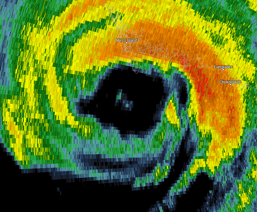
The good news is that the latest from the National Hurricane Center has slowed the maximum sustained wind speeds down to 120 MPH, but even with that being said, Irma is still a very dangerous hurricane. Movement is almost due north at 12 MPH. The center of the eye is around 30 miles away from Naples.
The eye of Irma is about to come onshore on the Florida Peninsula at Marco Island. At the moment, they are experiencing the fiercest winds from the outer part of the eyewall, with radar-estimated winds over 100-110 MPH.
At this time, the water is probably moving away from the shoreline, but as the center of the eye moves overhead and the backside approaches, water will be rushing back in very quickly. At that point, storm surge levels could reach up to 10-12 feet above ground level.
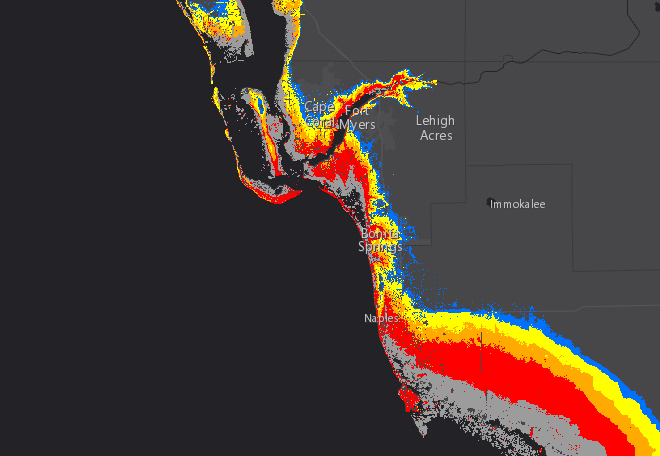
This trend will continue as the eye makes its way up the western coastline of the Florida peninsula, especially from Naples up to Fort Myers and Cape Coral, with storm surge values of 9 feet or higher.
About the Author (Author Profile)
Scott Martin is an operational meteorologist, professional graphic artist, musician, husband, and father. Not only is Scott a member of the National Weather Association, but he is also the Central Alabama Chapter of the NWA president. Scott is also the co-founder of Racecast Weather, which provides forecasts for many racing series across the USA. He also supplies forecasts for the BassMaster Elite Series events including the BassMaster Classic.Subscribe
If you enjoyed this article, subscribe to receive more just like it.


