

Not A Bad Midday Across Central Alabama If You Don’t Mind The Warmth
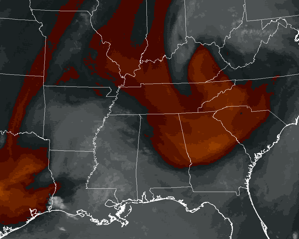
Currently over Central Alabama, drier air is moving into much of the area from the north-northwest, and this is bringing the precipitable water values down into the 1.0 to 1.4 inch range. Most of the moist air at this point is located in the extreme southern portions of the area.
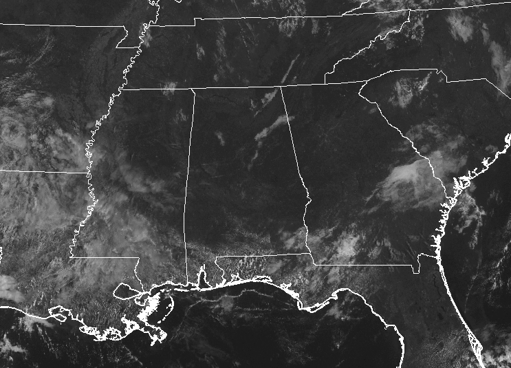
At this point, only a few stray clouds are floating over parts of the area, but the sky for everyone in Central Alabama is generally clear.
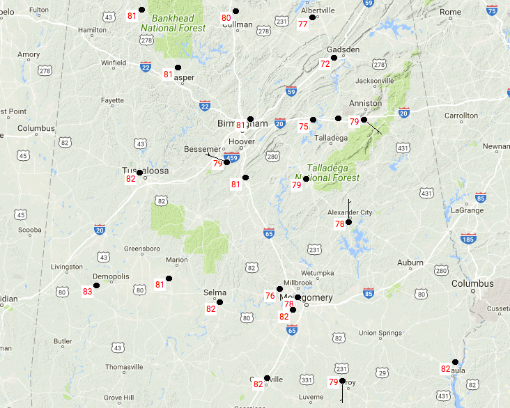
Temperatures at the 11:00 AM hour are ranging in the lower 70s to the lower 80s. Demopolis is the warm spot currently at 83 degrees, while Gadsden is the cool spot in the area at 72 degrees. The Birmingham Airport is currently reading a temperature of 81 degrees.
FOR THE REST OF TODAY
Even with the drier air moving into the area, dewpoint values will still be running at or near 70 degrees today, and that will keep the air feeling muggy. We’ll have a few clouds develop throughout the afternoon hours, but skies should stay mostly clear. There is a chance of isolated to scattered afternoon showers and thunderstorms in the extreme southern and southwestern parts of the area, but the rest of Central Alabama will be in more stable air and remain dry. Afternoon highs will top out in the upper 80s to the lower 90s throughout the area.
Some showers in the southwestern part of the area may linger for an hour or two after we lose the sunlight, but patchy fog may develop in areas where it had previously rained during the day and near some bodies of water. Overnight lows will be in the mid-60s to the lower 70s.
NOT A BAD THURSDAY, BUT SOME SHOWERS & STORMS ARE POSSIBLE
We’ll continue to have muggy conditions throughout Central Alabama on Thursday, and a little more moisture will be available in the atmosphere for isolated to scattered afternoon showers and thunderstorms to form. You are less likely to see rain in the northeastern quarter of the area (mainly east of I-65 and north of I-85), with chances higher for the rest. Otherwise, we’ll have a mix of sun and clouds and highs will be back up in the upper 80s to the lower 90s.
OUR TROPICAL WEATHER CATEGORY HAS THE LATEST ON ALL ACTIVE STORMS
Stay up-to-date with the latest updates on all of the tropical systems out in the Atlantic Ocean, Caribbean Sea, or in the Gulf of Mexico with the latest posts in our Tropical Weather section. Click here to see the latest.
GOT BEACH PLANS?
Be sure to keep up to date with the detailed forecasts from Fort Morgan over to Panama City Beach with the AlabamaWx Weather Blog. Click here to see the AlabamaWx Beach Forecast Center page.
The Beach Forecast is partially underwritten by the support of Brett/Robinson Vacation Rentals in Gulf Shores and Orange Beach. Click here to see Brett/Robinson’s Hot Deals now!
ON THIS DAY IN WEATHER HISTORY
1967 – Hurricane Beulah moved into South Texas, and torrential rains from the hurricane turned the rich agricultural areas of South Texas into a large lake. Hurricane Beulah also spawned a record 115 tornadoes.
WEATHERBRAINS
Check out the show at www.WeatherBrains.com. You can also subscribe on iTunes. You can watch the show live at live.bigbrainsmedia.com on Monday nights starting at 8:30 PM CDT. You will be able to see the show on the James Spann 24×7 weather channel on cable or directly over the air on the dot 2 feed.
Category: Alabama's Weather, ALL POSTS
About the Author (Author Profile)
Scott Martin is an operational meteorologist, professional graphic artist, musician, husband, and father. Not only is Scott a member of the National Weather Association, but he is also the Central Alabama Chapter of the NWA president. Scott is also the co-founder of Racecast Weather, which provides forecasts for many racing series across the USA. He also supplies forecasts for the BassMaster Elite Series events including the BassMaster Classic.Subscribe
If you enjoyed this article, subscribe to receive more just like it.


