A Mighty Fine Day Out There In Central Alabama At Midday
Conditions Across Central Alabama At 12:20 PM
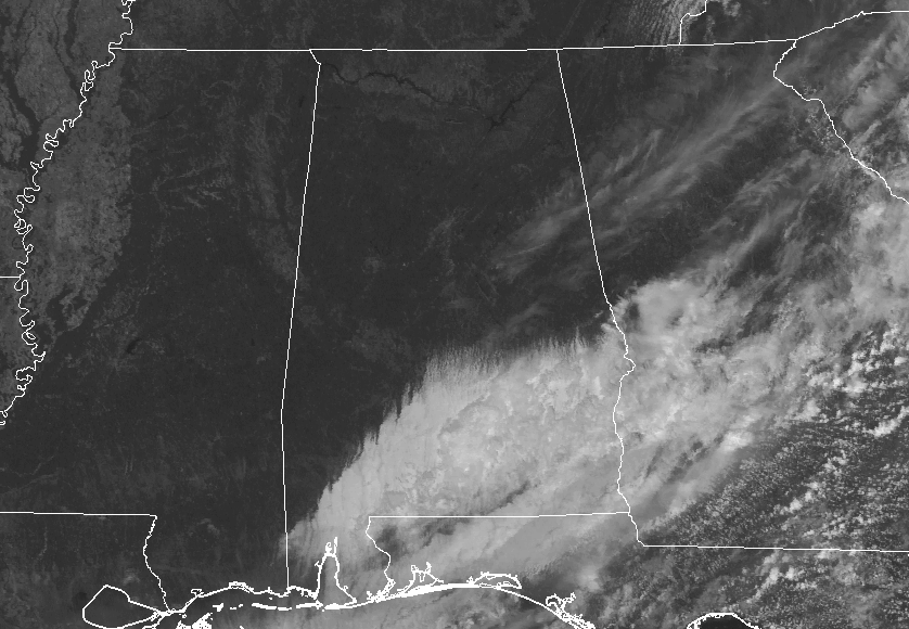
At this point, much of Central Alabama is free from any cloud cover. The only location seeing clouds at this point are in the south and southeastern parts of the area, but those will soon be gone as well. No rain out there at this point, as drier and cooler air has worked into much of the area at this time. Temperatures are ranging throughout the 60s in the area, with Eufaula as the only spot in the 70s, currently at 71 degrees. Birmingham is currently at 64 degrees.
What To Expect For The Rest Of Your Monday
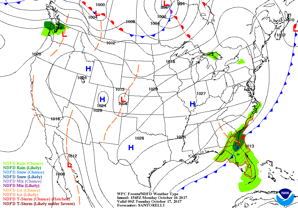
Skies will continue to clear out in the southeastern parts of the area, and all of Central Alabama will have clear skies as we move into the late afternoon and early evening hours. Afternoon highs will be in the mid to upper 60s throughout much of the area, with a few 70s possible in the southern parts. Skies will be clear throughout the overnight hours as well, with lows dropping sown into the mid-40s to the lower 50s.
Sunny Skies And Mild Temperatures Throughout the Week
Tuesday through Thursday in Central Alabama will be absolutely fantastic. Sunny skies and mild temperatures will be the main headline, as the standard dry pattern that you normally see in the area during October has arrived. Afternoon highs will be in the 70s. Overnight lows will be in the 40s and 50s.
A Slight Warming Trend For The Central Alabama Weekend
We’ll have a ridge setting up over the southeast for the weekend ahead of a trough that will be bringing rain chances back into the forecast for the following Monday. We’ll have slightly warmer temperatures and slightly higher dewpoints, but skies will be mostly clear on Friday through Sunday. Highs will be in the upper 70s to the lower 80s and overnight lows in the 50s.
The Tropics
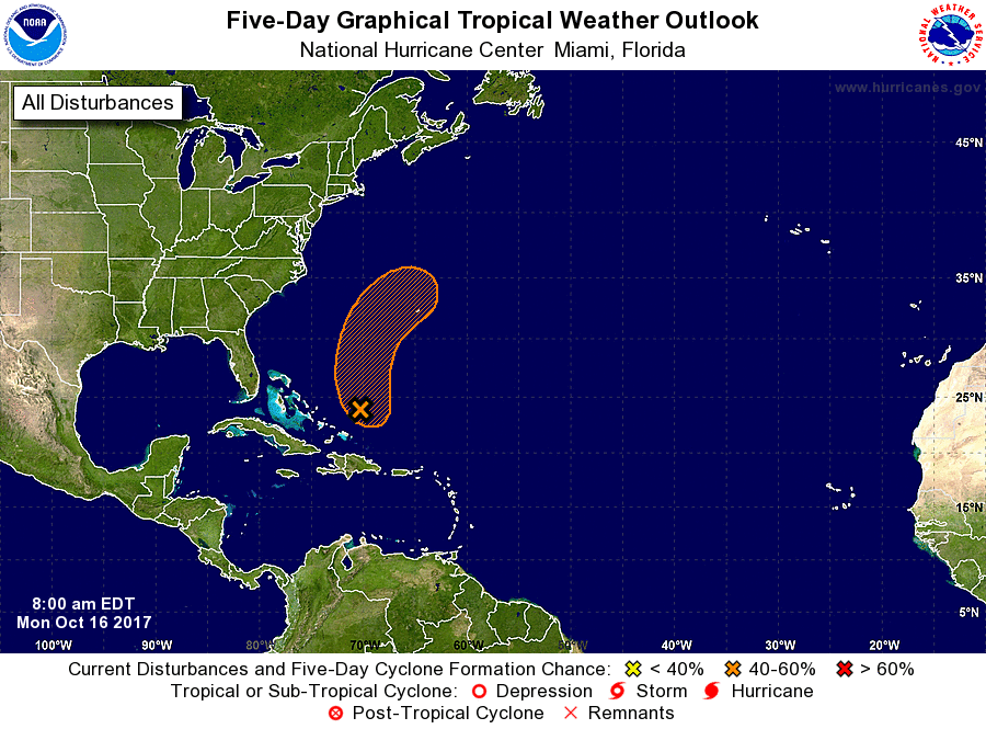
Invest 92L is currently located to the north-northeast of the Turks and Caicos Islands, and has shown some signs of strengthening. Winds are near tropical storm force but the disturbance still lacks a well-defined center. Some development may occur today and tomorrow, but further development after that will be highly unfavorable as it will merge with a frontal system. At this point, there is only a 40% chance of it developing into a tropical depression or storm.
Stay up-to-date with the latest updates on all of the tropical systems out in the Atlantic Ocean, Caribbean Sea, or in the Gulf of Mexico with the latest posts in our Tropical Weather category. Click here to see the latest.
On This Day In Weather History
1987 – Ten cities in the southeastern U.S. reported record low temperatures for the date. The low of 34 degrees at Augusta GA marked their third straight morning of record cold. A cold front brought showers and thunderstorms to parts of the central U.S. Lightning struck a bull and six cows under a tree near Battiest OK.
The Blog Is On Social Media, So Follow Us There
Twitter: @alabamawxblog
Facebook: @alabamawxblog
Advertise With Us On The Blog
Deliver your message to a highly engaged audience by advertising on the AlabamaWX.com website. The site has enjoyed over 14 MILLION pageviews so far this year alone! Don’t miss out! We can customize a creative, flexible and affordable package that will suit your organization’s needs. Contact Bill Murray at (205) 687-0782.
WeatherBrains
Check out the show at www.WeatherBrains.com. You can also subscribe on iTunes. You can watch the show live at live.bigbrainsmedia.com on Monday nights starting at 8:30 PM CDT. You will be able to see the show on the James Spann 24×7 weather channel on cable or directly over the air on the dot 2 feed.
Category: Alabama's Weather, ALL POSTS
About the Author (Author Profile)
Scott Martin is an operational meteorologist, professional graphic artist, musician, husband, and father. Not only is Scott a member of the National Weather Association, but he is also the Central Alabama Chapter of the NWA president. Scott is also the co-founder of Racecast Weather, which provides forecasts for many racing series across the USA. He also supplies forecasts for the BassMaster Elite Series events including the BassMaster Classic.Subscribe
If you enjoyed this article, subscribe to receive more just like it.


