Clouds Out There As We Approach The Midday Hour, Clearing To Come
What’s Happening With Our Weather At 10:15 AM
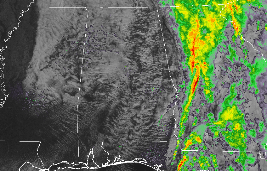
All of the main rain activity has pushed well over into Georgia as we are approaching the 11:00 AM hour in Central Alabama. We may have a few left over sprinkles out there in the area, but for the most part we are dry. We have several breaks in the cloud cover as well, allowing for the sun to peak through at times. Clearing has reached the western parts of Mississippi, and that will move into Central Alabama later today.
How Do The Temperatures Look Across The Area At 10:15 AM
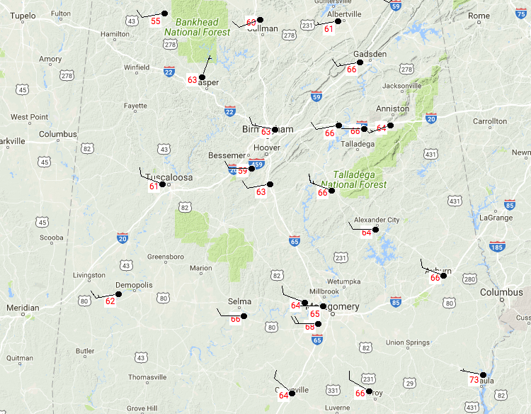
We have much cooler air in the northern parts of the area compared to the south as the trough continues to move through the area. Temperatures are currently running in the mid-50s to the mid-60s through the northern parts, while the south have mid-60s to the lower 70s. Birmingham is at 63 degrees, while it is 10 degrees warmer down at Eufaula. The cool spot at the moment is Haleyville at 55 degrees.
Weather For The Rest Of Your Monday
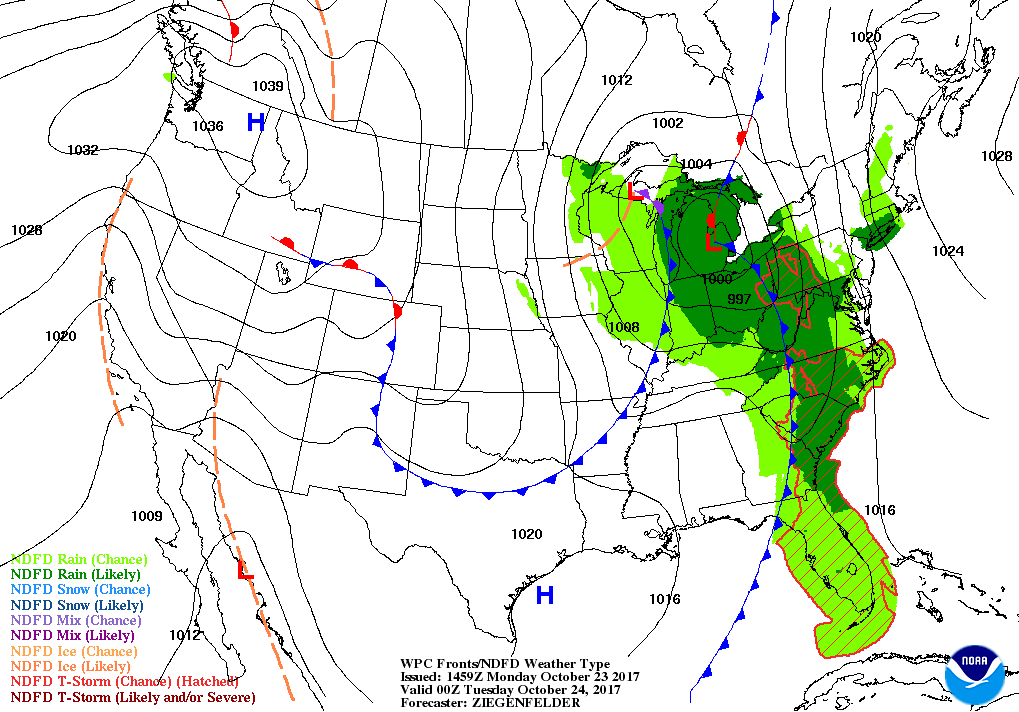
Other than a few sprinkles left over, rain is finished for Central Alabama through the rest of the day, and through the rest of the work week. Skies will be partly to mostly cloudy, but there will be breaks in the clouds at times to allow the sun to make it to the surface. It will be quite breezy at times today, with westerly winds averaging between 5-15 MPH, with some gusts up to 20 MPH possible. Afternoon highs will be in the mid-60s to the lower 70s throughout Central Alabama. By the time we reach the late evening hours tonight, skies will have cleared out and lows will drop down into the upper 40s to the lower 50s.
A Reinforcing Shot Of Cool Air Moves In On Tuesday
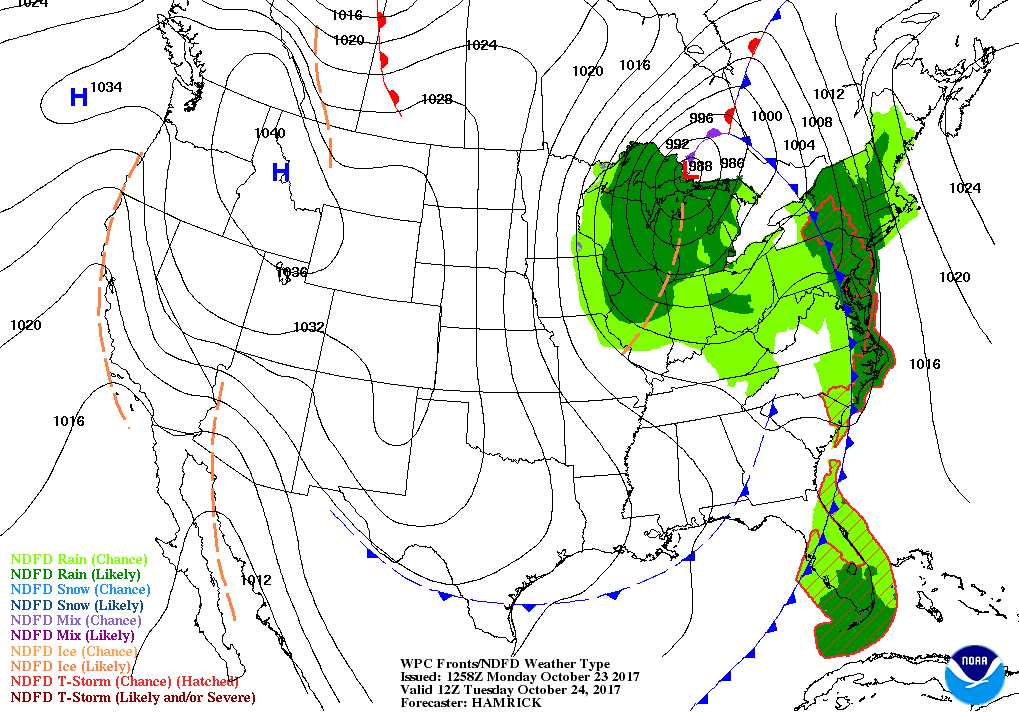
We will have a dry shortwave front move through during the morning hours on Tuesday, and this will reinforce the cooler air that we will be experiencing throughout Central Alabama. Plenty of sunshine as skies will be mainly clear throughout the area, but it will be breezy once again with northwesterly winds averaging 5-10 MPH with gusts up to 15 MPH possible. Afternoon highs will be in the mid-60s to the lower 70s. We’ll see the big diference in temperatures as we reach the overnight hours, as lows will dip into the upper 30s to the lower 40s. Some of the colder spots could reach the mid-30s or even drop below freezing for an hour or two.
The Tropics
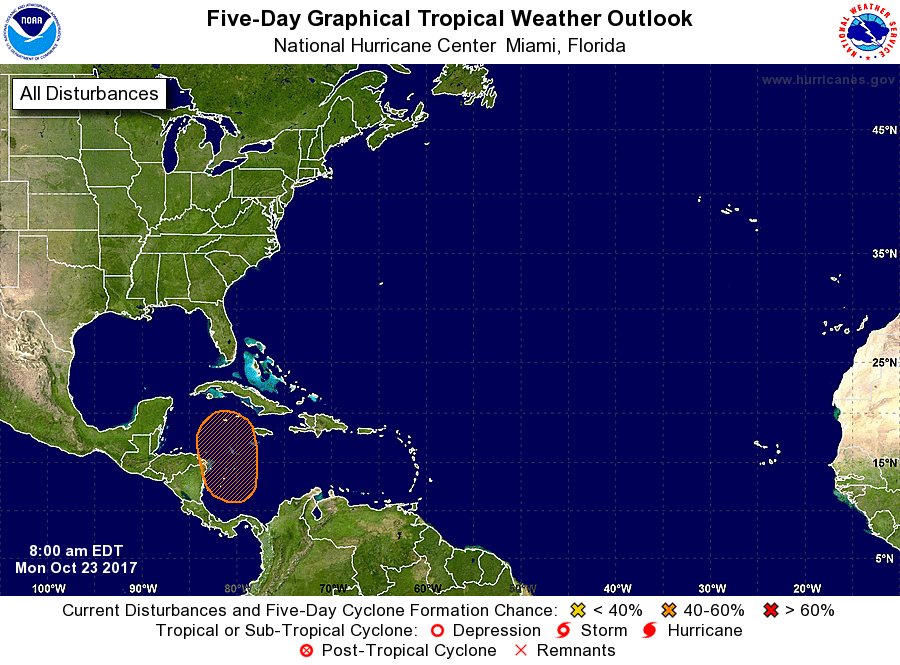
For the North Atlantic, Caribbean Sea and the Gulf of Mexico, there is a broad area of low pressure that is expected to form over the western Caribbean Sea during the next few days. Slow development of this system is possible thereafter while it moves northwestward to northward. Formation chance through 48 hours is near 0%, while at 40% through 5 days.
Stay up-to-date with the latest updates on all of the tropical systems out in the Atlantic Ocean, Caribbean Sea, or in the Gulf of Mexico with the latest posts in our Tropical Weather category. Click here to see the latest.
Gulf Coast Weather
Be sure to keep up to date with the detailed forecasts from Fort Morgan over to Panama City Beach with the AlabamaWx Weather Blog. Click here to see the AlabamaWx Beach Forecast Center page.
The Beach Forecast is partially underwritten by the support of Brett/Robinson Vacation Rentals in Gulf Shores and Orange Beach. Click here to see Brett/Robinson’s Off Season Deals now!
On This Day In Weather History
1989 – A storm moving out of the Gulf of Alaska brought rain and high winds to the Central Pacific Coast Region. High winds in Nevada gusted to 67 mph at Reno, and thunderstorms around Redding CA produced wind gusts to 66 mph. Locally heavy rains in the San Francisco area caused numerous mudslides, adding insult to injury for earthquake victims.
WeatherBrains
Check out the show at www.WeatherBrains.com. You can also subscribe on iTunes. You can watch the show live at live.bigbrainsmedia.com on Monday nights starting at 8:30 PM CDT. You will be able to see the show on the James Spann 24×7 weather channel on cable or directly over the air on the dot 2 feed.
Category: Alabama's Weather, ALL POSTS
About the Author (Author Profile)
Scott Martin is an operational meteorologist, professional graphic artist, musician, husband, and father. Not only is Scott a member of the National Weather Association, but he is also the Central Alabama Chapter of the NWA president. Scott is also the co-founder of Racecast Weather, which provides forecasts for many racing series across the USA. He also supplies forecasts for the BassMaster Elite Series events including the BassMaster Classic.Subscribe
If you enjoyed this article, subscribe to receive more just like it.


