Are You “Cirrus” It’s Still Cool Outside At Midday?
CONDITIONS AT MIDDAY
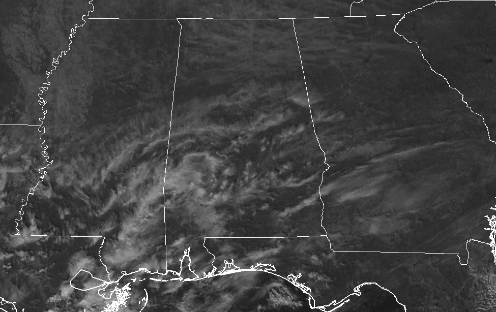
We have a good supply of sunshine across Central Alabama as we have reached the noon hour on this fine Monday, with only some whispy cirrus clouds filtering the sun’s rays just a little. I apologize for the horrible pun that I used for the post title. Temperatures at this point are running from the mid-50s to the lower 60s throughout the area. Eufaula is currently the warm spot at 61º, while a few locations are tied as the cool spot at 51º. Birmingham is currently at 54º.
MIGHTY COLD LOW TEMPERATURES THIS MORNING ACROSS CENTRAL ALABAMA
The low temperature reports for this morning have come in, and we can see that it was a downright cold morning out there across Central Alabama. Here is a list of the colder temperatures…
21º… Forney (Cherokee County)
22º… Hamilton (Marion County)
23º… Highland Lake (Blount County)
23º… Pinson (Jefferson County)
23º… Jasper (Walker County)
24º… Selma (Dallas County)
24º… Haleyville (Winston County)
Most of the readings came in at or below freezing, with only a few locations mainly in the larger city centers and in the southern parts of Central Alabama staying just above freezing. The warmest low temperature recorded was 38º at Clayton in Barbour County.
YOUR WEATHER FOR THE REMAINDER OF TODAY
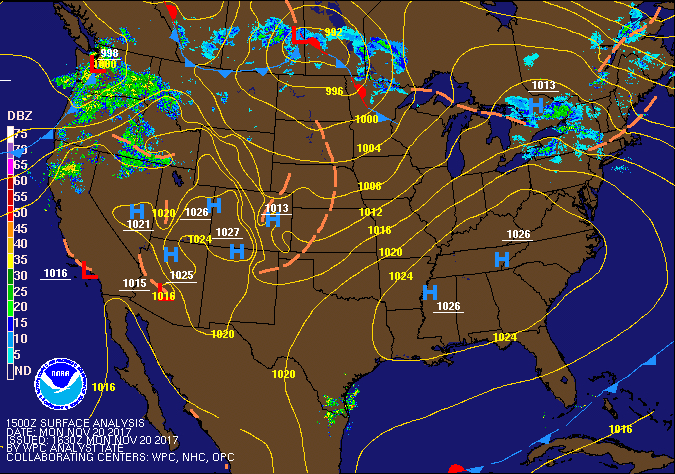
With high pressure in control of our weather today, we’ll continue to see mostly clear skies with only a few whispy cirrus clouds overhead. After a very cold start, the afternoon highs will warm nicely, but will still fall slightly below our normal temperatures for this time of the year. Highs across the area will be in the upper 50s to the lower 60s throughout Central Alabama. Mostly clear skies will start off the evening hours, but we’ll have increasing clouds in the eastern parts of the area overnight. Lows will be much warmer tonight, dropping into the mid-30s to the mid-40s. A few of the colder locations could drop below freezing for a little while, but not as bone-chilling as this morning.
TUESDAY WILL FEATURE A FEW MORE CLOUDS & WARMER TEMPERATURES
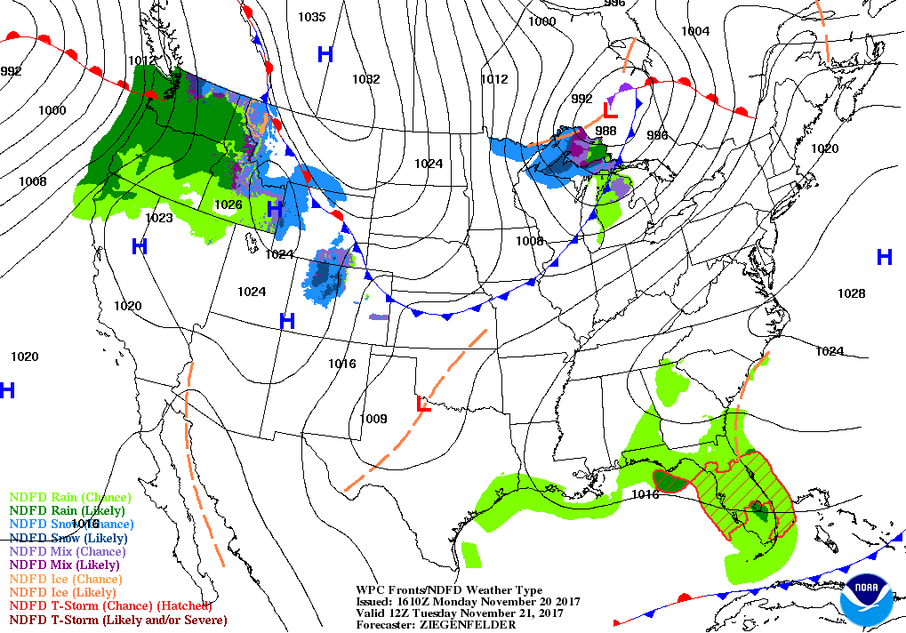
Much of Central Alabama will have mostly clear skies with the exception of the east and southeastern parts, where partly to mostly cloudy skies and a slight chance of a shower will persist throughout the day and into the evening hours. A weak boundary will bring slightly cooler air in on Wednesday to the area, but showers out ahead of it along the Gulf Coast will be forced a little northward due to the flow around high pressure that is located over the western Atlantic. This will be where the slight chance of rain comes into the picture for locations along and south of the I-85 corridor. Rainfall amounts will only total a tenth of an inch or less, and will be mainly out of the area by sunrise on Wednesday. Afternoon highs will be in the lower to mid-60s, with lows in the upper 30s to the upper 40s.
THE TROPICS
The end of the 2017 Atlantic Hurricane Season will be here in just 10 days, and at this point we have nothing to report on in the Gulf of Mexico, Caribbean Sea, or the tropical Atlantic Ocean. Stay up-to-date with the latest updates on all of the tropical systems out in the Atlantic Ocean, Caribbean Sea, or in the Gulf of Mexico with the latest posts in our Tropical Weather category. Click here to see the latest.
THE BEACH FORECAST
Be sure to keep up to date with the detailed forecasts from Fort Morgan over to Panama City Beach with the AlabamaWx Weather Blog. Click here to see the AlabamaWx Beach Forecast Center page. The Beach Forecast is partially underwritten by the support of Brett/Robinson Vacation Rentals in Gulf Shores and Orange Beach. Click here to see Brett/Robinson’s Off Season Deals now!
ON THIS DAY IN WEATHER HISTORY
1900 – An unusual tornado outbreak in the Lower Mississippi Valley resulted in 73 deaths and extensive damage across Arkansas, Mississippi and Tennessee.
WEATHERBRAINS
Check out the show at www.WeatherBrains.com. You can also subscribe on iTunes. You can watch the show live at live.bigbrainsmedia.com. You will be able to see the show on the James Spann 24×7 weather channel on cable or directly over the air on the dot 2 feed.
E-FORECAST
Get the Seven-Day Forecast delivered directly to your inbox by email twice daily. It is the most detailed weather forecast available in Central Alabama. Subscribe here. It’s free!
ADVERTISE WITH US
Deliver your message to a highly engaged audience by advertising on the AlabamaWX.com website. The site has enjoyed 15.4 MILLION page views in the past 12 months. Don’t miss out! We can customize a creative, flexible and affordable package that will suit your organization’s needs. Contact Bill Murray at (205) 687-0782.
Category: Alabama's Weather, ALL POSTS
About the Author (Author Profile)
Scott Martin is an operational meteorologist, professional graphic artist, musician, husband, and father. Not only is Scott a member of the National Weather Association, but he is also the Central Alabama Chapter of the NWA president. Scott is also the co-founder of Racecast Weather, which provides forecasts for many racing series across the USA. He also supplies forecasts for the BassMaster Elite Series events including the BassMaster Classic.Subscribe
If you enjoyed this article, subscribe to receive more just like it.


