An Early Morning Look At Conditions Across Central Alabama At 5:55 AM
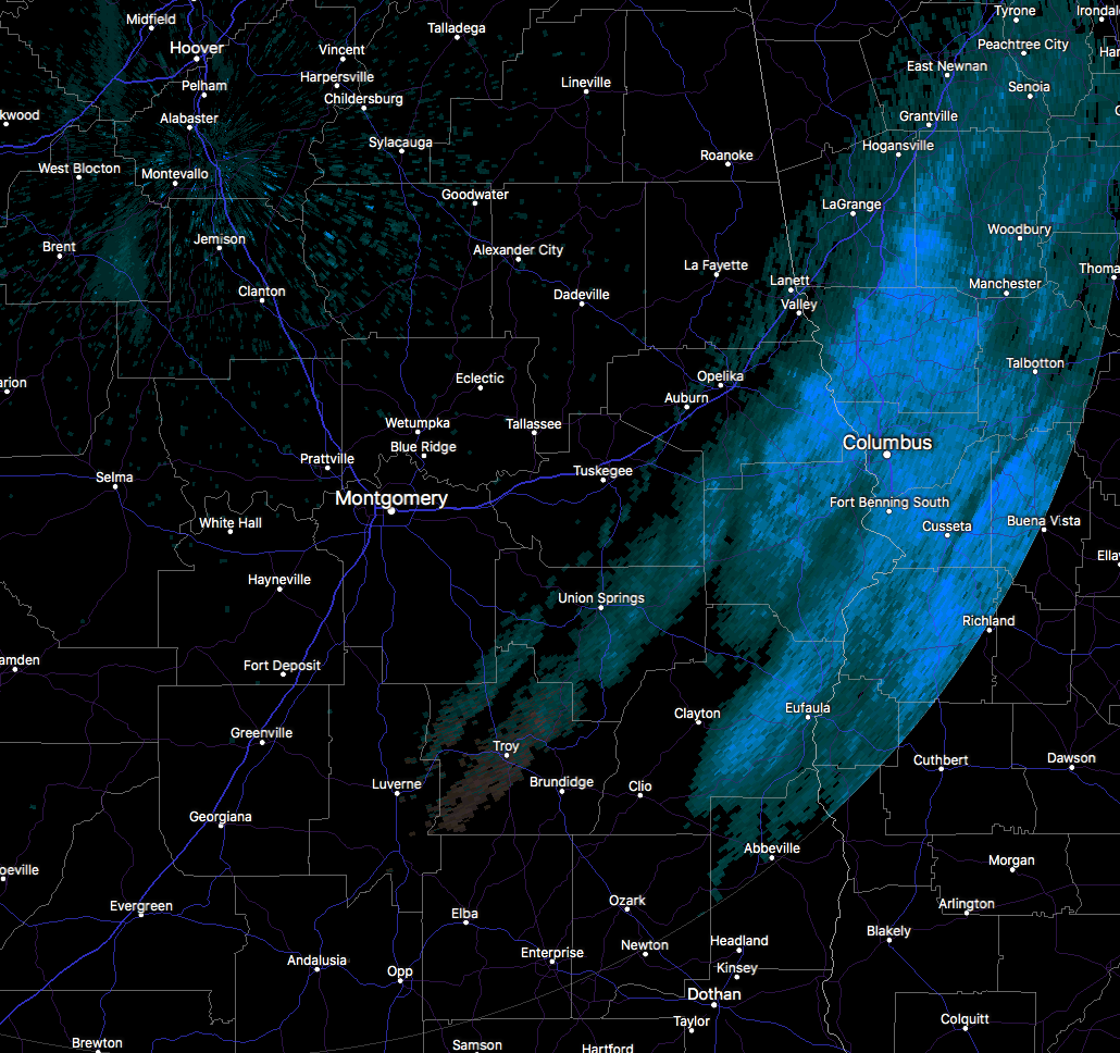
Much of the snow activity has moved out of the state at this point, with the last remaining snow showers lingering in the extreme southeastern parts of Central Alabama from Lanett in southeastern Chambers County, to Goshen in southwestern Pike County. The rest of North and Central Alabama is snow-free.
At this point, the official report from the Birmingham International Airport only received a trace of snowfall, while it looks like the big winner is going to be Auburn with 3.2 inches of snow. That verifies with what we were seeing on radar last night with the enhanced snowfall across the southern half of Central Alabama, as many snowfall totals were in the 1.0 to 2.0 inch range, while most to the north of I-59 and I-20/59 corridors were around 1.0 inch or less. There was some enhanced snowfall in Lauderdale County as some totals did reach 1.5 inches.
Temperatures at this point of the morning is ranging from the mid-single digits in the northern part of the area to the mid-20s in the southern half. Cullman and Huntsville International Airport were both at 6 degrees, tied as the coldest spots in the area, while the warm spot (if you dare to call it warm) was Eufaula at 25 degrees. Birmingham was at 9 degrees at this point. Wind chill values are running around 8 to 12 degrees colder than the actual temperature. With wind chill values this low, frostbite can occur quickly and even hypothermia or death if precautions are not taken.
A Wind Chill Warning is in effect for Jackson County in North Alabama until 9:00 AM today.
A Wind Chill Advisory is in effect for Colbert, Cullman, DeKalb, Franklin, Lauderdale, Lawrence, Limestone, Madison, Marshall, and Morgan counties in North Alabama until 12:00 PM today.
A Wind Chill Advisory is in effect for all counties in Central Alabama until 9:00 AM today.
A Hard Freeze Warning is in effect for all counties in Central Alabama until 9:00 AM today.
A Winter Weather Advisory is in effect until 8:00 AM for Autauga, Barbour, Bullock, Chambers, Elmore, Lee, Lowndes, Macon, Montgomery, Pike, Randolph, Russell, and Tallapoosa counties in Central Alabama until 8:00 AM.
Many secondary roads throughout much of the Birmingham metropolitan area remain very icy this morning, but the primary roadways including the interstates and US highways are dry due to being treated. I-65 from Calera to Greenville is slow-going this morning due to icy conditions, along with all of I-85 from Montgomery to the Georgia state line, US-280 from Opelika to the Georgia state line, and US-431 from Phenix City to Eufaula. What’s even more impressive about this system and extreme cold air is that the I-10 bridge over Mobile Bay is closed due to ice. If you would like to see road conditions in your location,
These hazardous travel conditions will persist through much of Wednesday morning as temperatures will remain below freezing. Travel is strongly discouraged through this morning.
If you must travel, use extreme caution, especially on bridges, overpasses, and elevated highways. Reduce travel speed as appropriate and leave extra room for vehicles in front of you. Do not assume that a well traveled road will be totally free of ice. Dress warmly and keep a winter travel kit in your vehicle. For the latest on road closures in your location, please visit the ALGO Traffic website.
Category: Alabama's Weather, ALL POSTS
About the Author (Author Profile)
Scott Martin is an operational meteorologist, professional graphic artist, musician, husband, and father. Not only is Scott a member of the National Weather Association, but he is also the Central Alabama Chapter of the NWA president. Scott is also the co-founder of Racecast Weather, which provides forecasts for many racing series across the USA. He also supplies forecasts for the BassMaster Elite Series events including the BassMaster Classic.Subscribe
If you enjoyed this article, subscribe to receive more just like it.


