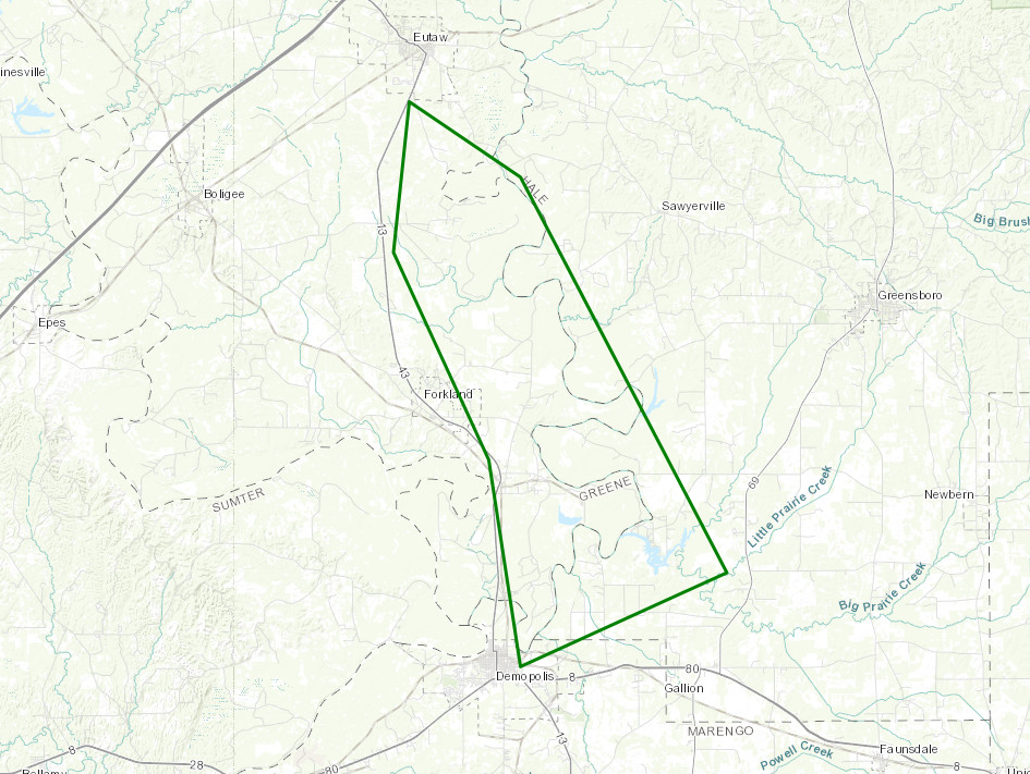
Flood Warning for Black Warrior River (Selden Lock and Dam) Extended Until 1 AM Feb. 11 (Greene, Hale, and Marengo)
BULLETIN – IMMEDIATE BROADCAST REQUESTED
Flood Statement
National Weather Service Birmingham AL
220 PM CST Wed Feb 7 2018
…The flood warning continues for the Black Warrior River At Selden
Lock and Dam…
.Rises continue along the lower Black Warrior River following the
heavy rainfall of the past 24 hours…and a flood warning remains in
effect for the Black Warrior River at the Selden Lock and Dam.
PRECAUTIONARY/PREPAREDNESS ACTIONS…
Do not drive cars through flooded areas. Turn Around…Don’t Drown.
Another statement will be issued by Thursday morning…or sooner if
conditions warrant.
BULLETIN – IMMEDIATE BROADCAST REQUESTED
Flood Warning
National Weather Service Birmingham AL
745 AM CST Wed Feb 7 2018
…The National Weather Service in Birmingham AL has issued a Flood
Warning for the following rivers in Alabama…
Black Warrior River At Selden Lock and Dam Affecting Greene…Hale
and Marengo Counties.
.Heavy rainfall over the past 12 hours is creating water rises
on the Black Warrior River At Selden Lock and Dam and a flood warning
is now in effect.
PRECAUTIONARY/PREPAREDNESS ACTIONS…
Do not drive cars through flooded areas. Turn Around…Don’t Drown.
Another statement will be issued by Thursday morning…or sooner if
conditions warrant.
&&
ALC063-065-091-080145-
/O.NEW.KBMX.FL.W.0001.180208T2110Z-180210T1130Z/
/WLDA1.1.ER.180208T2110Z.180209T0600Z.180209T2330Z.NO/
745 AM CST Wed Feb 7 2018
The National Weather Service in Birmingham AL has issued a
* Flood Warning for
the Black Warrior River At Selden Lock and Dam.
* from Thursday afternoon to late Friday night…or until the Warning
is cancelled.
* At 7:15 AM Wednesday The stage Was 81.0 feet.
* Flood stage is 90.0 feet.
* Minor flooding is forecast.
* Forecast…Rise above flood stage by tomorrow afternoon and
continue to rise to near 91.7 feet by Friday morning. The river
will fall below flood stage by Friday afternoon.
* Impact…At 90 feet…Pasture and wood lands begin to flood.
Livestock should be moved to higher ground at stages above 90 feet.
Category: ALL POSTS, Severe Weather
About the Author (Author Profile)
Scott Martin is an operational meteorologist, professional graphic artist, musician, husband, and father. Not only is Scott a member of the National Weather Association, but he is also the Central Alabama Chapter of the NWA president. Scott is also the co-founder of Racecast Weather, which provides forecasts for many racing series across the USA. He also supplies forecasts for the BassMaster Elite Series events including the BassMaster Classic.Subscribe
If you enjoyed this article, subscribe to receive more just like it.


