

Beautiful At Midday… Drought Conditions Improve
HOW’S THE WEATHER AT MIDDAY
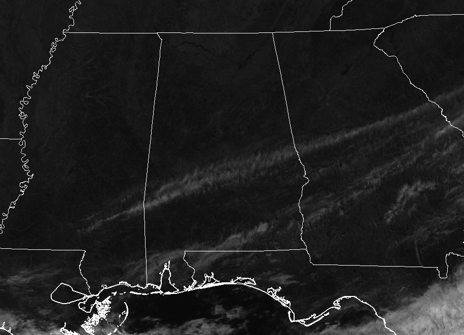
It’s a beautiful day outdoors across Central Alabama at the midday hour, with mainly clear skies for the area. There are a few high clouds that are streaming across the southern parts of the area, but these are not keeping the sunshine from reaching the surface. Temperatures at 12:05 PM were ranging from the mid-40s in the northwest to the upper 50s in the southwest. Birmingham was at 48 degrees, while the cool spot was Haleyville at 46 degrees. The warm spots were Troy and Eufaula, both at 57 degrees.
WEATHER FOR THE REMAINDER OF YOUR THURSDAY
Other than a few high clouds streaming over the southern parts of the area, skies will be sunny across Central Alabama throughout the afternoon and evening hours. Those skies will continue to stay clear throughout the late night and overnight hours. Afternoon highs will range from the lower 50s in the northwest to the lower 60s in the southeast. Overnight lows will be in the lower 30s to the lower 40s.
DAMAGE ASSESSMENTS FROM WEDNESDAY’S SEVERE WEATHER
Jemison
The NWS Birmingham Storm Survey Team determined that the damage in Jemison was caused by a strong EF-0 tornado. Maximum winds were estimated at 80 MPH and was on the ground for 2.55 miles.
Assessments Taking Place Today
• Gallion & Near Demopolis (Hale & Marengo counties)
• Near Billingsley (Autauga County)
• Near York (Sumter County)
FLOOD WARNINGS IN CENTRAL ALABAMA
Flood Warning continues in effect for the Tombigbee River at the Demopolis Lock and Dam until Friday, February 10th, at 6:00 PM (Sumter, Choctaw, Marengo counties).
Flood Warning continues in effect for the Tombigbee River at the Bevill Lock and Dam until Friday, February 9th, at 3:35 PM (Pickens, Sumter, Greene counties).
Flood Warning continues in effect for the Black Warrior River at the Selden Lock and Dam until Friday, February 10th, at 6:39 PM (Hale, Greene, Marengo counties).
DROUGHT CONDITIONS IMPROVE SIGNIFICANTLY IN CENTRAL ALABAMA
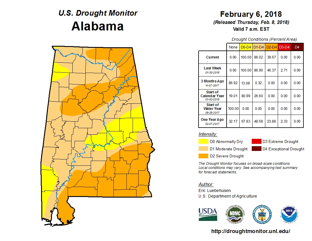
Cold fronts brought significant rainfall to the area Tuesday night and Wednesday, and along with the rainfall from this past weekend, provided some needed relief to the drought conditions in Central Alabama. Most locations have returned to near normal rainfall for the year. Rainfall totals during the past week averaged three to five inches over much of Central Alabama, although totals of one to three inches were more prevalent in the extreme southeast sections. This has signficantly improved drought conditions over much of Central Alabama at least temporarily.
- Birmingham… 5.44 in (2018 total)… 5.96 in (normal)… -0.52 in (departure)
- Montgomery… 6.62 in (2018 total)… 5.97 in (normal)… +0.65 in (departure)
- Anniston… 5.95 in (2018 total)… 5.75 in (normal)… +0.20 in (departure)
- Tuscaloosa… 6.94 in (2018 total)… 6.62 in (normal)… +0.32 in (departure)
- Calera… 6.69 in (2018 total)… 6.77 in (normal)… -0.08 in (departure)
- Troy… 1.95 in (2018 total)… 5.63 in (normal)… -3.68 in (departure)
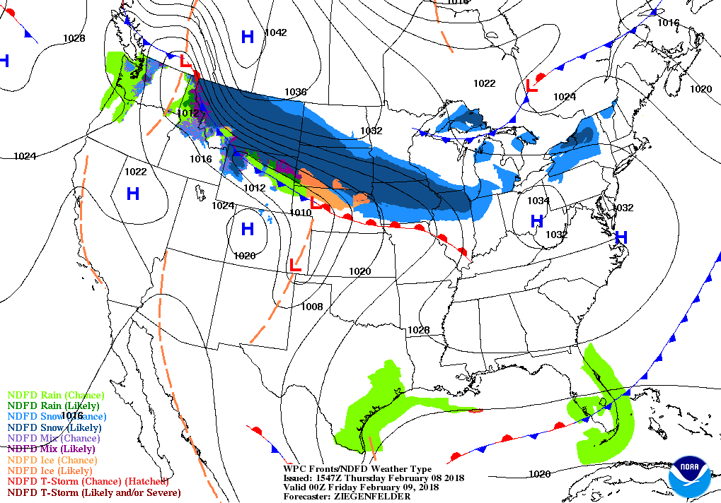
FRIDAY WILL REMAIN DRY FOR THE MOST PART
The day will start off with mainly sunny skies, but clouds will start to build from the south during the afternoon hours. We’ll stay dry through the late afternoon, and highs will reach the lower to mid-60s. Rain chances will start to increase during the early evening through late night hours from the south, and becoming likely after midnight. Overnight lows will only drop to the upper 40s to the mid-50s.
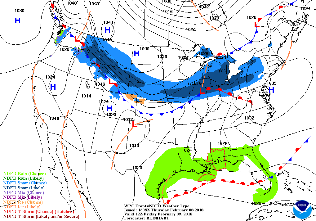
PERIODS OF RAIN FOR THE CENTRAL ALABAMA WEEKEND
The good news for this weekend’s weather is that there is no severe storms expected at this time, but we could see rainfall totals of 1/2 to 1-inch on Saturday, and an additional 1/4 to 3/4-inches on Sunday. It will not rain continuously throughout the entire weekend, but showers and thunderstorms are possible at any time. Highs on Saturday will be in the lower 60s to the lower 70s throughout Central Alabama, with Sunday’s highs in the upper 50s to the lower 70s from northwest to southeast.
ACTIVE PATTERN CONTINUES INTO THE FIRST HALF ON NEXT WEEK
Shower chances will continue throughout the beginning of the work week at least through Wednesday, thanks to a southwesterly flow across Central Alabama. At this point, Tuesday and Wednesday look to be a little drier than Monday with most of the activity staying over the southern half of the area. Highs on each day will range from the upper 50s in the northwest to the lower 70s in the southeast.
ON THIS DAY IN WEATHER HISTORY
1835 – A severe cold wave gripped the southeastern U.S. The mercury dipped to 8 above at Jacksonville FL, and to zero at Savannah GA. Orange trees were killed to the roots.
THE ALABAMAWX BEACH FORECAST CENTER
Click here to see the AlabamaWx Beach Forecast Center page.
WEATHERBRAINS
Check out the show at www.WeatherBrains.com. You can also subscribe on iTunes. You can watch the show live at live.bigbrainsmedia.com. You will be able to see the show on the James Spann 24×7 weather channel on cable or directly over the air on the dot 2 feed.
E-FORECAST
Get the AlabamaWx Weather Blog’s Seven-Day Forecast delivered directly to your inbox by email twice daily. It is the most detailed weather forecast available in Central Alabama. Subscribe here… It’s free!
ADVERTISE WITH US
Don’t miss out! We can customize a creative, flexible and affordable package that will suit your organization’s needs. Contact Bill Murray at (205) 687-0782.
Category: Alabama's Weather, ALL POSTS
About the Author (Author Profile)
Scott Martin is an operational meteorologist, professional graphic artist, musician, husband, and father. Not only is Scott a member of the National Weather Association, but he is also the Central Alabama Chapter of the NWA president. Scott is also the co-founder of Racecast Weather, which provides forecasts for many racing series across the USA. He also supplies forecasts for the BassMaster Elite Series events including the BassMaster Classic.Subscribe
If you enjoyed this article, subscribe to receive more just like it.


