

Midday Update: Looks and Feels Like Winter
After the great weather over the weekend, we are starting the final week of March looking and feeling more like winter. A back door cold front moved into the state overnight, and has brought a much cooler and breezy air mass into the state.
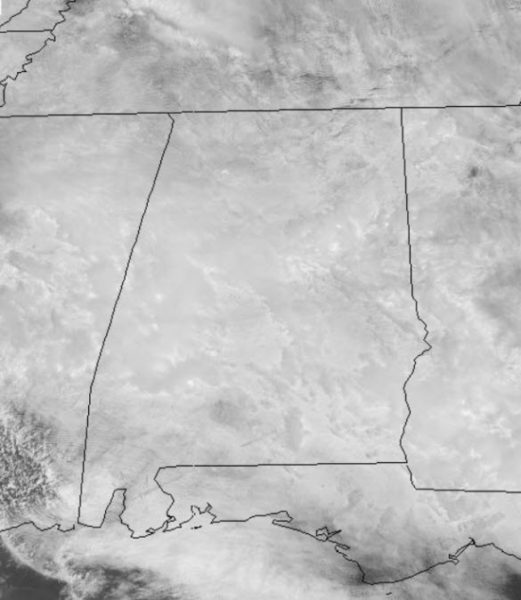
We are all socked in with clouds today, and we continue to see areas of light rain.

Temperatures are holding in the upper 40s to the east, with lows and mid 50s the farther west you head in the state. With breezy easterly winds of 10-20 mph are making it feel cooler out there today.

A BIT WARMER TOMORROW: Tomorrow will continue to be mostly cloudy, but warmer as our winds begin to shift out of a more southerly directions. A stray shower or two is possible, but these be widely spaced. Temperatures tomorrow afternoon, will be a little below seasonal norms as we are forecasting mid 60s.
WARMING TREND CONTINUES: By midweek, spring warmth returns and highs will be in the upper 70s across North/Central Alabama. It will remain cloudy, with the risk for a few scattered showers during the day, but most of the rain will come Wednesday night and Thursday with a slow moving front/upper trough. We are looking at heavy at times during this time frame and rain amounts of around two inches, with locally heavier amounts are certainly possible. We will have to watch for some isolated areas of flooding especially in poor drainage areas. We are expecting some thunderstorms possible, Thursday, but at this point the risk of severe storms in the state of Alabama is low. The core severe weather risk this week will be west of our state across the Southern Plains and Lower Mississippi River Valley.
VERY NICE EASTER WEEKEND: Friday will feature a clearing sky with a high in the mid to upper 60s, and the weather rolling into Easter weekend continues to looks delightful. We are forecasting ample sunshine Saturday and Sunday with highs close to 70 Saturday, followed by mid 70s Sunday.
WORLD TEMPERATURE EXTREMES: Over the last 24 hours, the highest observation outside the U.S. was 109.9F at Nawabshah, Pakistan. The lowest observation was -71.0F at Concordia, Antarctica.
CONTIGUOUS TEMPERATURE EXTREMES: The highest observation was 99F at Rio Grande Village, TX. The lowest observation was -5F at Doe Lake, MI.
WEATHER ON THIS DATE IN 1913 The Ohio River Basin flood reached a peak. Ten inch rains over a wide area of the Ohio River Basin inundated cities in Ohio, drowning 467 persons, and causing 147 million dollars damage. The Miami River at Dayton reached a level eight feet higher than ever before. The flood, caused by warm weather and heavy rains, was the second mostly deadly of record for the nation.
Category: Alabama's Weather, ALL POSTS
About the Author (Author Profile)
Macon, Georgia Television Chief Meteorologist, Birmingham native, and long time Contributor on AlabamaWX. Stormchaser. I did not choose Weather, it chose Me. College Football Fanatic. @Ryan_StinnetSubscribe
If you enjoyed this article, subscribe to receive more just like it.


