Cooler Temps Moving In Behind The Line; Strong To Severe Storms Still Possible
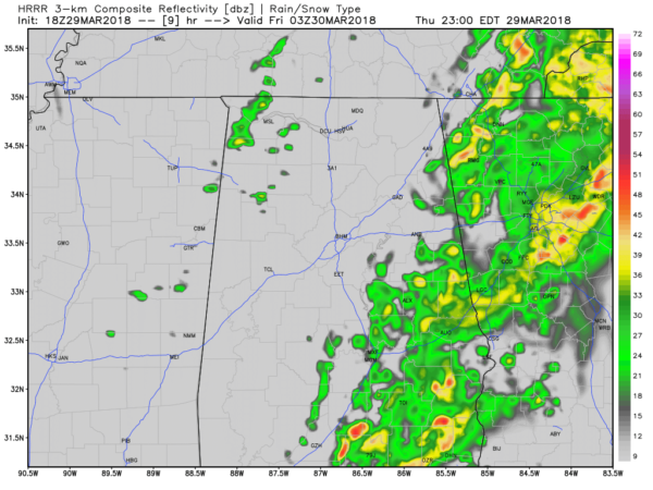
The severe weather threat continues to push off to the eastern and southeastern parts of the state as a strong capping inversion continues to hold the convection down and squashing any thunderstorm development at this point. The cities of Cullman, Birmingham, Jasper, Tuscaloosa and Dempolis are now out of any severe risk on the latest outlook update from the SPC.
Surface-based instability has been held in check, well under the the projected values from earlier model runs. There is sufficient wind shear for storms to rotate, but we needed temperatures of 80 degrees for any convection to break through that cap. The only location in Central Alabama at that temperature at this point is Eufaula, which was at 81 degrees at 2:45 PM. The rest of Central Alabama is ranging from the upper 50s to the upper 70s from north to south, with cooler temperatures behind the line of showers.
We do notice an increase in lightning activity in the southern parts of the area, mainly from Brent down to Uniontown and on down into the southwestern parts of the state. The higher instability values are located just south of the Central Alabama area along and around I-65 at this point.
Now a stronger thunderstorm may be possible in the northern half of Central Alabama east of I-59, but it now looks that the main risk for any stronger to severe storms will be mainly south of I-20 and east of a line from Pell City to Clanton to Selma. If any severe weather occurs, this area will be where it occurs. Once the main part of the line passes your location, the severe threat will be over. The severe threat will completely be over by 7:00 PM – 8:00 PM time frame tonight.
Category: Alabama's Weather, ALL POSTS


