Coastal Impacts from Alberto along Alabama and Northwest Florida Coasts as well as Central Alabama Impacts
The low pressure center for Subtropical Storm Alberto is over the Yucatan Channel between Cuba and the Yucatan Peninsula at the noon hour. It is about 615 miles south southeast of Mobile.

It is very disorganized, with almost all of its rain and storms on the eastern side of the system. There is good divergence aloft, as is seen on the satellite photographs of Alberto this morning. But there is significant wind shear keeping the system from intensifying right now. The center is currently exposed, which means we will see little strengthening today. It will continue to see 15-20 knots of wind shear today. To the north, wind shear values over the Gulf are even higher, but they are expected to decrease tonight and Sunday.
Water temperatures are 27-28C ahead of the system, which is sufficient for strengthening. They actually are much warmer near the northern Gulf Coast, which means there could be last minute strengthening as it approaches the coast.
It is not currently a fully tropical system. The NHC has it designated as subtropical storm, meaning that it is a hybrid between a traditional extratropical low pressure system and a fully tropical system that derives its energy solely from the warm waters of the ocean.
As wind shear decreases there are indications that the system will have increasing tropical characteristics and could make the transition to fully tropical. That would give it a better chance to strengthen. It should be a strong tropical storm will top winds of 65 mph at landfall on Monday night. There is a small chance that it could intensify to hurricane strength.
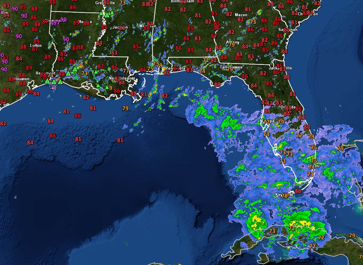
Right now, the heaviest rain and storms associated with Alberto are over Cuba and the Florida Straits. But the rain shield from the system extends a cross the southern half of Florida and well into the North Central Gulf of Mexico.
The latest forecast from the National Hurricane Center shows the center of Alberto arriving on the coast near Pensacola around 10 p.m. Monday night, crossing into Southwest Alabama near Atmore and then tracking to near Columbus MS by 6 p.m. Tuesday.

We note that the NAM is much faster, bringing it to the coast Monday afternoon.
Top winds at landfall are forecast to be 65 mph, which is just below hurricane force. A storm becomes a hurricane when sustained winds reach 75 mph.
But remember that the forecast track is subect to errors and that is why we have the cone of uncertainty. Given average forecast errors, the center could be anywhere in that light gray shaded area and the impacts would shirt accordingly. Forecast confidence with Alberto is probably a little better, and we think that the center will come inland somewhere between Mobile Bay and Destin.
The important thing is to focus on the potential impacts and prepare for them, including strong tropical storm force winds, flooding rains, storm surge, tornadoes and rip currents. Here are coastal impacts expected from Alberto.
ALABAMA COAST
…Winds: 30-40 mph with gusts to 55 mph. Tropical storm conditions will begin early Monday afternoon continuing into the overnight. Peak winds should be from 5 p.m. Monday through 1 a.m. Tuesday.
…Rainfall: 6-10 inches of rain possible causing flooding. Bands of rain will affect the coast starting early Sunday afternoon, with the most intense rain starting Monday afternoon and diminishing Monday night.
…Storm Surge: 2-4 feet above ground level possible.
…Tornadoes: A few tornadoes are possible Monday, but the best chance for tornadoes will be northeast of the center
WESTERN FLORIDA PANHANDLE including Pensacola and Navarre
…Winds: 35-45 mph with gusts to 65 mph. Tropical storm conditions will begin early Monday afternoon continuing into the overnight. Peak winds should be from 5 p.m. Monday through 1 a.m. Tuesday.
…Rainfall: 6-10 inches of rain possible causing flooding. Bands of rain will affect the coast starting early Sunday afternoon, with the most intense rain starting early Monday morning diminishing Monday night.
…Storm Surge: 2-4 feet above ground level, especially along the coast near and east of the where the center makes landfall. Main storm surge impacts should be Monday.
…Tornadoes: Tornadoes are possible with the circulation around Alberto on Monday into Tuesday.
CENTRAL FLORIDA PANHANDLE including Destin, Fort Walton, 30A
…Winds: Winds will reach 45-55 mph with gusts to 75 mph. Tropical storm conditions will begin Monday morning and continue through Monday night. Peak winds will begin Monday afternoon through midnight Monday night.
…Rainfall: Additional 4-8 inches causing flooding. Bands of rain will begin in the Destin area late Sunday morning and overspread the area Sunday afternoon but the most intense rainfall will begin early Monday morning and continue into monday night.
…Storm Surge: 2-4 feet above ground level along the coast.
…Tornadoes: Tornadoes are possible with the circulation around Alberto on Monday into Tuesday.
EASTERN FLORIDA PANHANDLE: Panama City/Rosemary
…Winds: 25-35 with gusts above tropical storm force Monday morning, ending late Monday night
…Rainfall: Additional 4-8 inches causing flooding. Heavy rain will begin in the Panama City area Sunday morning
…Storm Surge: 2-4 feet above ground level along the coast.
…Tornadoes: A few tornadoes are possible with the circulation around Alberto starting Sunday and continuing into Monday
Rip Currents: The threat for rip currents will be increasing through the weekend and will be high starting Sunday. Heed beach flags. When red flags are in place, stay out of the water. When double red flags are flying it is illegal to enter the water in many jurisdictions.
There are lots of folks at the beach who want to know when conditions will deteriorate. Along the coast, you will start to notice the wind Sunday morning. Clouds will overspread the area during the day on Sunday making it cloudy. Rainbands will start overspreading the coast starting around Panama City Sunday morning and working westward during the day. So tomorrow morning will be fairly pleasant in places like Gulf Shores, Orange Beach, Pensacola, Fort Walton and Destin, going downhill earlier in Panama City.
Here is the NAM for 4 p.m. CDT Monday afternoon showing a depiction of the storm’s rainfall:

Alberto will bring significant impacts to Central Alabama starting Monday afternoon. Rain will be spreading northward during the afternoon with some tornadoes possible over southeastern sections Monday afternoon. Winds will really start increasing over South Central Alabama late Monday morning and across the rest of Central Alabama Monday afternoon. Some tropical storm force winds will be possible Monday evening over the US-80 Corridor including places like Selma and Montgomery. Winds of 25-35 mph will spread across the rest of Central Alabama Monday night into Tuesday. Rainfall amounts will average 3-4 inches across Central Alabama.
We will bring you frequent updates throughout the weekend on the progress of Alberto.
Category: ALL POSTS
About the Author (Author Profile)
Bill Murray is the President of The Weather Factory. He is the site's official weather historian and a weekend forecaster. He also anchors the site's severe weather coverage. Bill Murray is the proud holder of National Weather Association Digital Seal #0001 @wxhistorianSubscribe
If you enjoyed this article, subscribe to receive more just like it.


