

Wind Advisory Extended For Central Alabama
NWS Birmingham has extended the Wind Advisory in both area and in time. The counties added to the advisory are Blount, Calhoun, Cherokee, Clay, Cleburne, Etowah, Jefferson, Randolph, Shelby, St. Clair, and Talladega. The new time of expiration is set for 2:00 PM this afternoon.
Here is the text from NWS Birmingham:
…STRONG WINDS POSSIBLE ACROSS THE EASTERN HALF OF CENTRAL
ALABAMA…
ALZ017>021-024>029-291900-
/O.EXB.KBMX.WI.Y.0010.000000T0000Z-180529T1900Z/
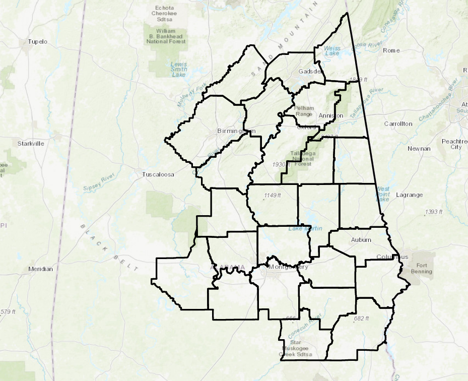
Blount-Etowah-Calhoun-Cherokee-Cleburne-Jefferson-Shelby-
St. Clair-Talladega-Clay-Randolph-
Including the cities of Oneonta, Gadsden, Anniston, Centre,
Heflin, Birmingham, Hoover, Columbiana, Pelham, Alabaster,
Pell City, Moody, Talladega, Sylacauga, Ashland, and Roanoke
519 AM CDT Tue May 29 2018
…WIND ADVISORY IN EFFECT UNTIL 2 PM CDT THIS AFTERNOON…
The National Weather Service in Birmingham has issued a Wind
Advisory, which is in effect until 2 PM CDT this afternoon.
* TIMING…through this afternoon.
* WINDS…of 15 to 25 mph with higher gusts.
* IMPACTS…Large limbs and trees can fall with this wind as the
ground will be saturated as the stronger winds move through.
PRECAUTIONARY/PREPAREDNESS ACTIONS…
A Wind Advisory means that wind gusts of 35 mph are expected.
Winds this strong can make driving difficult…especially for
high profile vehicles. Use extra caution.
Category: Alabama's Weather, ALL POSTS
About the Author (Author Profile)
Scott Martin is an operational meteorologist, professional graphic artist, musician, husband, and father. Not only is Scott a member of the National Weather Association, but he is also the Central Alabama Chapter of the NWA president. Scott is also the co-founder of Racecast Weather, which provides forecasts for many racing series across the USA. He also supplies forecasts for the BassMaster Elite Series events including the BassMaster Classic.Subscribe
If you enjoyed this article, subscribe to receive more just like it.


