Bright, Sunny, & Quite Warm Out There At Midday
A Check On Our Weather At 12:30 PM
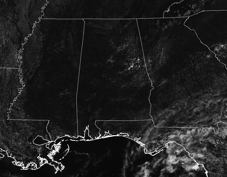
It is a pretty nice and mostly clear midday across Central Alabama at this point on your Thursday afternoon. We do have some convective clouds developing over the eastern parts of the area, but at this point there is no rain involved. The rest of the area is seeing plenty of sunshine. Temperatures are currently running in the mid-80s in the north to the lower 90s throughout much of the rest of the area. The cool spot is currently Cullman at 86 degrees, while several locations are tied as the warm spot at 91 degrees. Birmingham was at 90 degrees.
Weather For The Rest Of Your Thursday
While it will feel a little more uncomfortable than it did yesterday, the dewpoint values will still be in the lower 60s throughout the area, so it is still rather “bearable” for an early June day. Skies will be mostly clear to partly cloudy throughout the area, and yes, there is a very, very slight risk of an isolated shower or two mainly over the central and south-central parts of the area. Afternoon highs will top out in the upper 80s to the mid-90s. Skies will be partly cloudy to mostly clear throughout the area during the late night and into the overnight hours. Overnight lows will be in the mid-60s to the lower 70s.
That Summertime Feeling Is Coming Back To Central Alabama
The dewpoints start their climb upwards on Friday as more Gulf moisture will be pulled into the area, and that will mean that we’ll start to see an increase in the shower chances and in the mugginess of the air. Skies will start off clear but clouds will start to increase during the afternoon and into the evening hours due to convective heating. Skies will be mostly clear to partly cloudy and we’ll have a very slight risk of a few isolated to scattered showers and storms, with the better chance of those in the south and southeastern parts of the area. Afternoon highs will top out in the lower to mid-90s.
An Update On The Tropics
The Atlantic Ocean, Gulf of Mexico, and Caribbean Sea all continue to be pretty quiet at this point, and the National Hurricane Center continues to show that there is no tropical depression or storm development expected within the next 5 days. A couple of the longer-range models continue to hint at some tropical development affecting portions of the Gulf Coast near or at the end of next week.

The 12Z GFS shows a low developing over the northern Caribbean Sea just east of the Yucatan Peninsula on late Tuesday into early Wednesday before moving rapidly to the north. This shows a 994mb low moving onshore on Thursday afternoon between Port St. Joe and Apalachicola.

The 12Z Canadian model shows a low developing on the northwestern parts of the Yucatan Peninsula by Friday morning and it moves pretty rapidly to the north before deepening along the Gulf Coast of Louisiana by late Saturday into early Sunday. The model doesn’t go out further than that at this point, but the target landfall looks to be between Grand Isle and Pensacola.
The more reliable European model continues to show no development at all, and that is the side that we will take for now. We’ll keep our eyes on the tropics since we are now into the Atlantic Basin Hurricane Season.
Beach Forecast Center
Get the latest weather and rip current forecasts for the beaches from Fort Morgan to Panama City on our Beach Forecast Center page. There, you can select the forecast of the region that you are interested in.
WeatherBrains
Don’t forget you can listen to our weekly 90 minute netcast anytime on the web at WeatherBrains.com or on iTunes. This is the show all about weather featuring many familiar voices, including the meteorologists at ABC 33/40.
E-Forecast
Get the AlabamaWx Weather Blog’s Seven-Day Forecast delivered directly to your inbox by email twice daily. It is the most detailed weather forecast available in Central Alabama. Subscribe here… It’s free!
We’re Having A Record-Breaking Year So Far! Advertise With Us Today!
Don’t miss out! We have enjoyed over 10.4 MILLION page views on AlabamaWx.com since the start of 2018. We can customize a creative, flexible and affordable package that will suit your organization’s needs. Contact Bill Murray at (205) 687-0782.
Category: Alabama's Weather, ALL POSTS
About the Author (Author Profile)
Scott Martin is an operational meteorologist, professional graphic artist, musician, husband, and father. Not only is Scott a member of the National Weather Association, but he is also the Central Alabama Chapter of the NWA president. Scott is also the co-founder of Racecast Weather, which provides forecasts for many racing series across the USA. He also supplies forecasts for the BassMaster Elite Series events including the BassMaster Classic.Subscribe
If you enjoyed this article, subscribe to receive more just like it.


