It’s Getting Hot Out There At Midday; A Few Storms Already Popping Up
CONDITIONS AT THE NOON HOUR
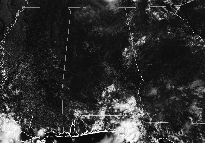
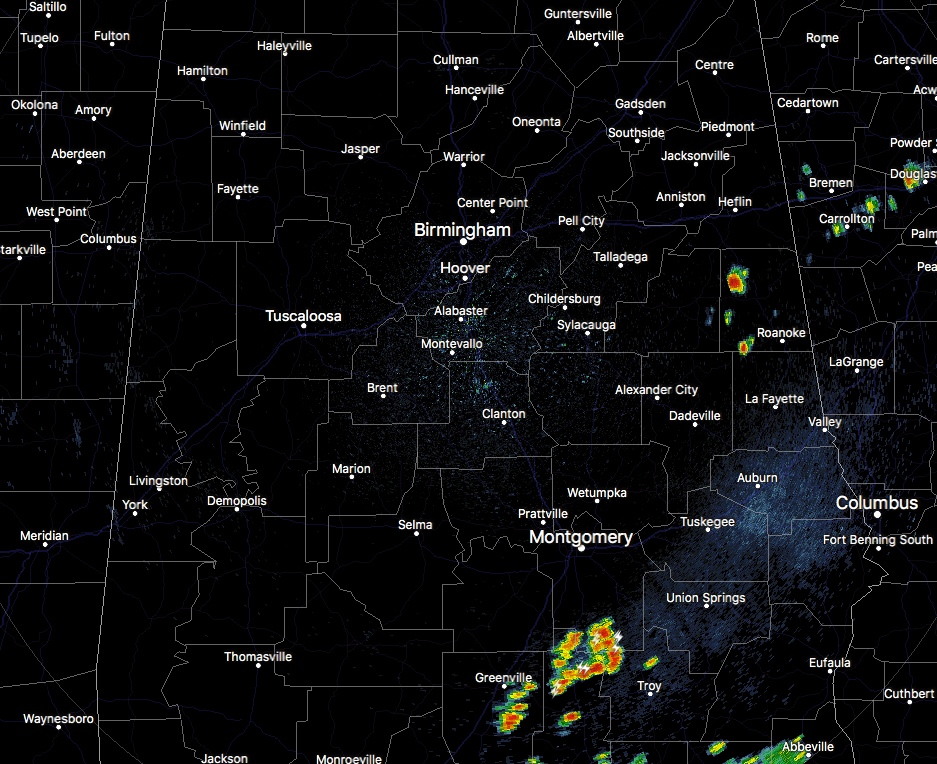
We have a good bit of sunshine across Central Alabama at this point on your Sunday and temperatures are already up into the lower to the upper 80s throughout the area. We have a few scattered showers and storms: one over parts of Randolph County, and more over the extreme northern and northwestern parts of Pike County and westward into the southern parts of Montgomery County. These are slowly pushing off to the southeast.
WEATHER FOR THE REST OF YOUR SUNDAY
Today will be another hot and steamy day with higher humidity levels. Skies will be mostly clear to partly cloudy during the early afternoon hours but those convective towering cumulonimbus clouds will start building and we’ll have a chance of scattered showers and storms during the afternoon and into the evening hours. It is possible that a couple of these storms could become strong with gusty winds and some small hail possible. afternoon highs will top out in the upper 80s to the lower 90s. The higher rain chance will be over to southern and eastern parts of Central Alabama, but everyone in the area has a risk for showers and storms. Some of those showers and storms could linger throughout the late night and into the overnight hours, but most of the activity will die off before midnight. Overnight lows will be in the upper 60s to the lower 70s.
THE WORK WEEK AHEAD
We’ll continue to have moist, tropical air across Central Alabama throughout the work week, so we can expect very little in change with the weather from day to day. We’ll have some sun and some clouds with the chance of scattered showers and thunderstorms mainly during the afternoon and early evening hours, but we could have some form earlier in the morning or have some linger later into the late night hours. Odds for one certain location getting rain on any day this week will be around 50/50, with slightly better odds on Wednesday. Afternoon highs will be in the upper 80s to the lower 90s, while lows will be in the upper 60s to the lower 70s.
POSSIBLE COOLER AND LITTLE DRIER AIR FOR THE WEEKEND
The long range models are giving us a hint that a possible trough could move over the eastern United States which could bring our temperatures down and reducing the chances of rain down into the 10-20% range. Highs could possibly be in the mid to upper 80s with lows in the mid to upper 60s. We’ll see how this goes… I would greatly take another June cooldown, even if it is just a very short break.
AN UPDATE ON THE TROPICS
At this point, the National Hurricane Center does not expect and tropical cyclone development within the next 5 days for the North Atlantic, Caribbean Sea, and the Gulf of Mexico. The American global model (the GFS) keeps the idea of a tropical system around the end of next week; the 00Z run pushes a tropical low into the Central Texas Coast, so that would mean no issues for Alabama. The reliable European model (ECMWF) still shows absolutely nothing.
BEACH FORECAST CENTER
Get the latest weather and rip current forecasts for the beaches from Fort Morgan to Panama City on our Beach Forecast Center page. There, you can select the forecast of the region that you are interested in.
WE’RE HAVING A RECORD-BREAKING YEAR ON ALABAMAWX.COM. ADVERTISE WITH US TODAY!
Don’t miss out! We have enjoyed over 10.5 MILLION page views on AlabamaWx.com since the start of 2018. We can customize a creative, flexible and affordable package that will suit your organization’s needs. Contact Bill Murray at (205) 687-0782.
E-FORECAST
Get the AlabamaWx Weather Blog’s Seven-Day Forecast delivered directly to your inbox by email twice daily. It is the most detailed weather forecast available in Central Alabama. Subscribe here… It’s free!
WEATHERBRAINS
Don’t forget you can listen to our weekly 90 minute netcast anytime on the web at WeatherBrains.com or on iTunes. This is the show all about weather featuring many familiar voices, including the meteorologists at ABC 33/40.
ON THIS DAY IN WEATHER HISTORY
1752 – It is believed that this was the day Benjamin Franklin narrowly missed electrocution while flying a kite during a thunderstorm to determine if lightning is related to electricity.
Category: Alabama's Weather, ALL POSTS
About the Author (Author Profile)
Scott Martin is an operational meteorologist, professional graphic artist, musician, husband, and father. Not only is Scott a member of the National Weather Association, but he is also the Central Alabama Chapter of the NWA president. Scott is also the co-founder of Racecast Weather, which provides forecasts for many racing series across the USA. He also supplies forecasts for the BassMaster Elite Series events including the BassMaster Classic.Subscribe
If you enjoyed this article, subscribe to receive more just like it.


