Severe Weather/Flood Update
*Scroll down for James’ video discussion below*
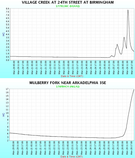
The initial waves of severe weather and heavy rain over the past 24 hours caused several reports of downed trees, an overturned 18 wheeler on I-65, some injuries, and lots of heavy rain. Most locations received 1.5-2.5″ of rain so far. Here in Trussville, 2.31″. There have been some reports of flooded roads, but most of that should have stopped by now. Checking area lakes and rivers, there were some sharp rises last night (see below), but most of these seem to have crested for now. Alabama Power and the US Army Corps of Engineers are keeping the water moving out of the lakes along the Warrior, Coosa, and Tallapoosa rivers, with releases of 25,000 cubic feet per second common.
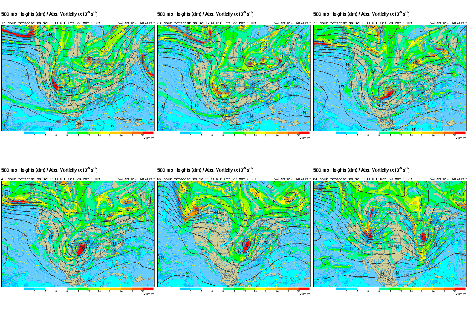
Here is a loop of the NAM model upper-level flow and vorticity (maxima in vorticity are upper-level disturbances).
Another upper-level disturbance will cause additional showers and thunderstorms to develop and move into Alabama tonight and tomorrow morning, but the heaviest rain with these storms may be over south Alabama. A few severe storms are possible tonight in south Alabama, but the main severe weather threat will be tomorrow night and Saturday, as James has been mentioning.
The main upper-level and surface lows will pass to our NW Saturday. Timing is still difficult, but it looks like we may get a little break in that the strong storms will likely come through here between midnight Friday night and noon Saturday, a time of day less conducive to strong tornadoes. The air will still be very unstable, with dewpoints in the mid 60s and CAPE values will be 1,000-2,000 J/kg by late Saturday morning, and wind shear will be high. Severe thunderstorms will be likely, and the tornado risk will be the highest so far this year. If the timing changes a little and the storms come through during the heat of the day Saturday, the threat will be higher. But, right now, it looks like the higher tornado risk will be to our NW tomorrow afternoon, and possibly to our east Saturday afternoon.
An additional 1-2″ of rain is also likely, so flooding will likely occur in some areas. Please keep an eye on the weather through Saturday, and have a NOAA weather radio with alarm feature available especially at night when you’re asleep.
Category: Uncategorized


