It’s not over yet
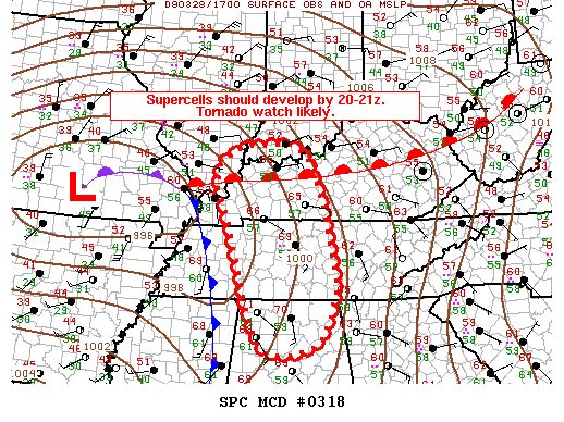
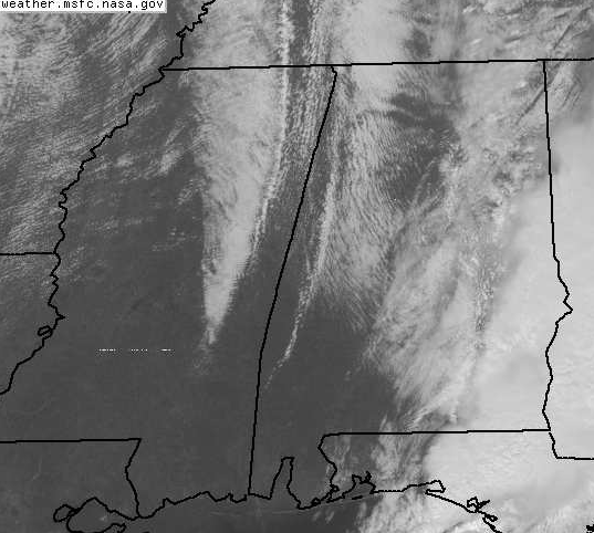
With some sunshine, temps have warmed into the upper 60s over much of north and central Alabama. And, we are still ahead of the cold front, shown fairly clearly on satellite in eastern MS. However, upper-level temperatures are actually colder over north AL and TN, causing the more unstable air to be there, and wind shear is higher farther north, with helicity >200 m2/s2 from BHM NE. So, the development of storms, which could rapidly become severe, is possible over north Alabama into Tennessee this afternoon.
I may be headed up there for a storm chase with a storm chase rookie today, MY WIFE! I’d like to see some better indications of development (more convective clouds, etc.) before committing Saturday afternoon to a drive up I-65, but we’ll see.
Category: Uncategorized


