Sun Slow to Show
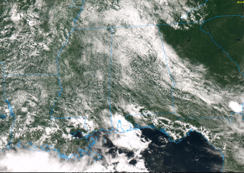
A low-level southeasterly flow around high pressure to our northeast has resulted in lots of low clouds this morning across the state. Those clouds are slowly burning off and sunshine is increasing.
Temperatures have been tempered by the clouds, ranging from the 70s over Northeast Alabama to the lower 80s in the US-78/280 Corridor to middle 80s over South Central Alabama.
Looking back over eastern Georgia and South Carolina, you can see clear skies. These skies are in drier air behind a backdoor cold front that is over western Georgia.
This front will work its way westward into Alabama over the next 24 hours. This means fewer showers and storms over the northeastern half of Alabama tomorrow and Tuesday. Storms will be concentrated over West Central and South Central Alabama.
A few showers and storms will be able today form along the boundary to and tomorrow. Other showers and storms will work up into South Alabama this afternoon, but they won’t be able to get much past US-80. Highs will be between 86-88F for the most part.
Things should be calm overnight with patchy fog in areas that see rain today. Lows will be in the lower 70s.
Category: Alabama's Weather, ALL POSTS
About the Author (Author Profile)
Bill Murray is the President of The Weather Factory. He is the site's official weather historian and a weekend forecaster. He also anchors the site's severe weather coverage. Bill Murray is the proud holder of National Weather Association Digital Seal #0001 @wxhistorianSubscribe
If you enjoyed this article, subscribe to receive more just like it.


