

Plenty of Sun… Plenty of Heat: It’s The Midday Nowcast For Central Alabama
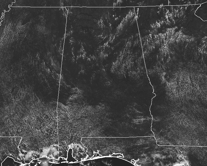
CONDITIONS AT 11:00 AM ACROSS CENTRAL ALABAMA
As we make the run-up to the midday hour in Central Alabama, we are getting plenty of sunshine with only a few small clouds floating overhead. With these mostly clear skies, radar is free of any shower activity at this point. Temperatures are currently running in the mid to upper 80s, with Birmingham coming in as the only place in the 90s at 90 degrees.
WEATHER FOR THE REST OF YOUR MONDAY
Even though we are getting closer to the end of “Meteorological Summer,” it doesn’t mean that we’ll be getting a break from the hot temperatures that we have in late August. Skies will be mostly clear to partly cloudy throughout Central Alabama today, with much of the area staying dry. North of I-20, the chance of an isolated shower or storm is there, but it is very small and almost not worth mentioning. As you head south of a line from Tuscaloosa to Clanton to Alexander City, those chances increase from 20%-40% from north to south, with the highest chances south of the I-85 corridor. Afternoon highs will be in the lower 90s. While an isolated shower may linger into the evening hours in the southeastern parts of the area, all of Central Alabama will be dry through the nighttime hours. Lows will be in the lower to mid-70s.
DON’T EXPECT MUCH CHANGE FOR TUESDAY
Tuesday will be a near repeat of today with the only difference being slightly higher chance of an isolated shower or storm throughout the area during the afternoon hours, ranging in the 20-30% range. Highs in the lower 90s.

TROPICAL OUTLOOK FOR THE ATLANTIC BASIN
We are nearing the peak of hurricane season for the Atlantic Ocean, Caribbean Sea, and the Gulf of Mexico, fortunately, it looks to be quiet for the next several days.
ON THIS DAY IN WEATHER HISTORY
1964 – Hurricane Cleo battered Miami and the South Florida area. It was the first direct hit for Miami in fourteen years. Winds gusted to 135 mph, and the hurricane caused 125 million dollars damage.
BEACH FORECAST CENTER
Get the latest weather and rip current forecasts for the beaches from Fort Morgan to Panama City on our Beach Forecast Center page. There, you can select the forecast of the region that you are interested in.
WE’RE HAVING A RECORD-BREAKING YEAR… ADVERTISE WITH US TODAY!
Don’t miss out! We have enjoyed over 13.5 MILLION page views on AlabamaWx.com since the start of 2018. We can customize a creative, flexible and affordable package that will suit your organization’s needs. Contact Bill Murray at (205) 687-0782.
E-FORECAST
Get the AlabamaWx Weather Blog’s Seven-Day Forecast delivered directly to your inbox by email twice daily. It is the most detailed weather forecast available in Central Alabama. Subscribe here… It’s free!
WEATHERBRAINS
Tonight’s show will be live from the National Weather Association Meeting with a plethora of interesting guests. Kind of like shooting fish in a barrel. WeatherBrains.com or on iTunes. This is the show all about weather featuring many familiar voices, including the meteorologists at ABC 33/40.
Category: ALL POSTS
About the Author (Author Profile)
Scott Martin is an operational meteorologist, professional graphic artist, musician, husband, and father. Not only is Scott a member of the National Weather Association, but he is also the Central Alabama Chapter of the NWA president. Scott is also the co-founder of Racecast Weather, which provides forecasts for many racing series across the USA. He also supplies forecasts for the BassMaster Elite Series events including the BassMaster Classic.Subscribe
If you enjoyed this article, subscribe to receive more just like it.


