An Early Afternoon Look at Alabama’s Weather
It is a hot and humid September Sunday across Alabama. At least most of Alabama.
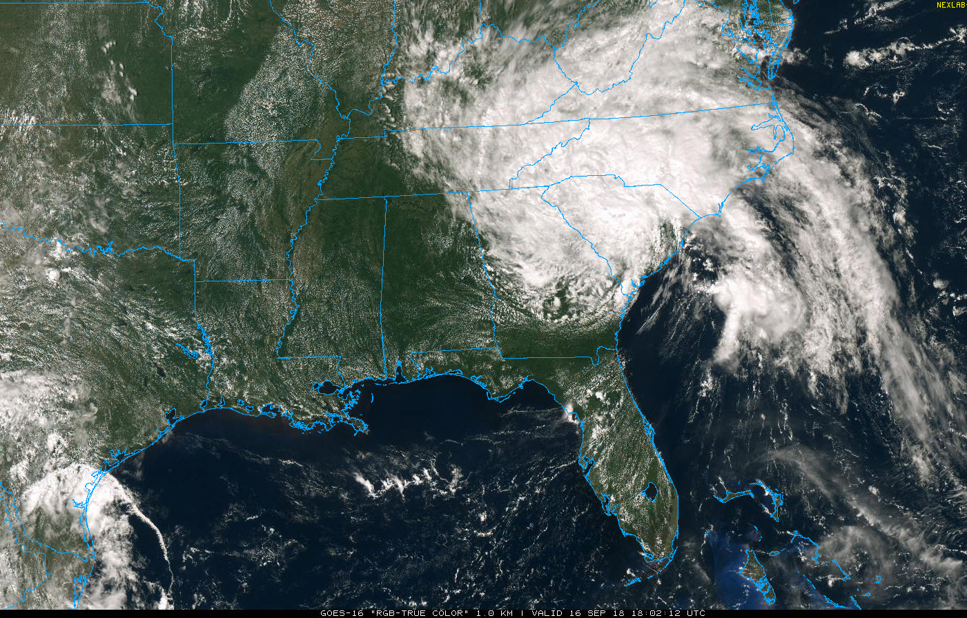
Clouds from Tropical Depression Florence, centered near Augusta, Georgia, have edged into the northeastern corner of Alabama, where it is just 79F at Fort Payne.
Elsewhere, readings are in the upper 80s to lower 90s. Dewpoints are near 70F in most locations, making it feel warmer.
The temperature at Birmingham at 1 p.m. was 90F, which is 2 degrees lower than yesterday. Highs this afternoon will top out generally in the lower 90s, with some middle 90s in the normally hotter locations. A few spots in Northeast Alabama will remain in the 80s.
Winds are a little gusty across the state, occasionally as high as 15 mph.
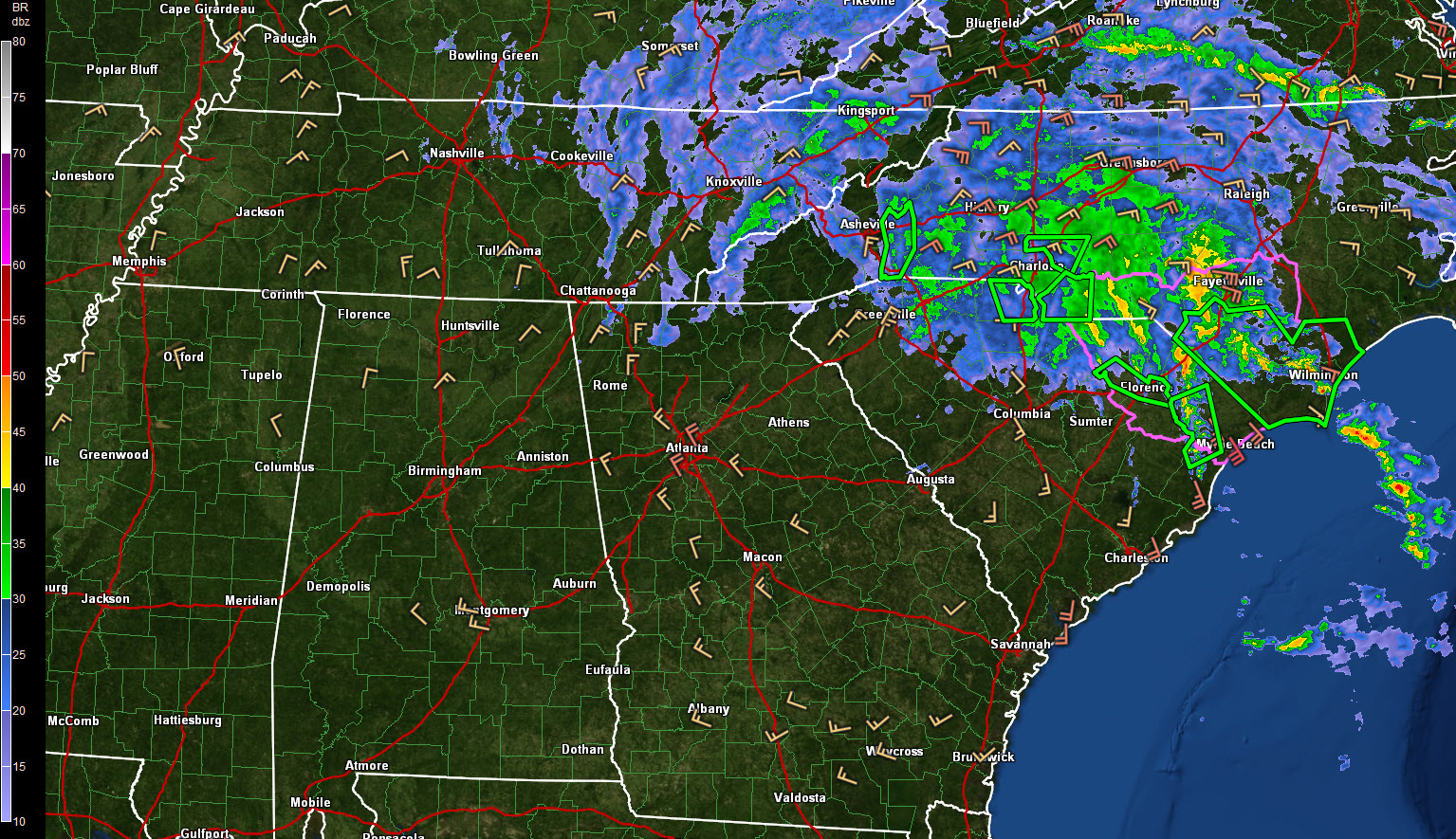
A few light showers could pop up across Northeast and East Alabama this afternoon, but elsewhere everyone should remain dry.
THE WEEK AHEAD: The remnants of Florence will visit the Smokies of western North Carolina and then move into eastern Kentucky tomorrow before curving through Pennsylvania and across New England. Even drier air will wraparound the remnants, actually acting to compress the moisture across eastern Alabama and perhaps triggering a couple of showers, but coverage will be very low and so will amounts. Ridging will begin over the area by Wednesday and this will reinforce the current run of hot and dry weather. Highs will be in the lower 90s and lows near 70F. Rain chances should be very low until Friday, when scattered showers will make their re-appearance as high pressure slides to our east and a return flow from the Gulf of Mexico is re-established. Partly cloudy, hot and humid conditions will prevail for the weekend with scattered afternoon and evening showers and storms.
NEXT SIGNIFICANT RAIN: There are signs that a real live cold front may bring a good chance of rain around the 29th of September. There are also signs that we may be watching a tropical system in the southern Gulf of Mexico by then. The GFS has been consistently spinning up a tropical storm out of disturbed weather over the southwestern Gulf in the first couple of days of October. The big high pressure in place in the wake of the fallish cold front should keep the storm well south of the northern Gulf Coast, but it does bear watching.
IN THE TROPICS
Florence and Joyce are now tropical depressions and Helene is now post-tropical, so for the first time since September 1, there is no named storm in the Atlantic.
Category: Alabama's Weather, ALL POSTS
About the Author (Author Profile)
Bill Murray is the President of The Weather Factory. He is the site's official weather historian and a weekend forecaster. He also anchors the site's severe weather coverage. Bill Murray is the proud holder of National Weather Association Digital Seal #0001 @wxhistorianSubscribe
If you enjoyed this article, subscribe to receive more just like it.


