A Warm and Muggy Afternoon, More of the Same All Week
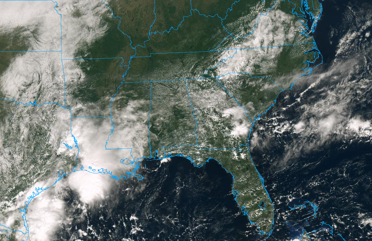
High clouds have been streaming across Central Alabama this morning, but they are beginning to break up. As temperatures warm, cumulus clouds have been forming.
Readings at noon include 82F at Birmingham, 81F at Talladega at Talladega and Pell City, 79F at the Shelby County Airport and 84F at Tuscaloosa. It is also 81F at Anniston and 83F at Auburn.
Dewpoints are in the lower 70s, so it feels quite muggy still.
A couple of isolated showers and storms will form this afternoon across the area, but they will be just that, isolated.
Those showers and storms may be a little more numerous tomorrow. But by Tuesday, storms will virtually vanish and will stay gone into the weekend. It will also be a warm week as well. Highs will be in the upper 80s and there will even be a 90F or two for good measure.
VOODOO COUNTRY: The next meaningful rain for Alabama may not come until the end of the two week forecast period. The GFS brings a front in around the 10th-14th.
Category: Alabama's Weather, ALL POSTS
About the Author (Author Profile)
Bill Murray is the President of The Weather Factory. He is the site's official weather historian and a weekend forecaster. He also anchors the site's severe weather coverage. Bill Murray is the proud holder of National Weather Association Digital Seal #0001 @wxhistorianSubscribe
If you enjoyed this article, subscribe to receive more just like it.


