Summer-Like Saturday
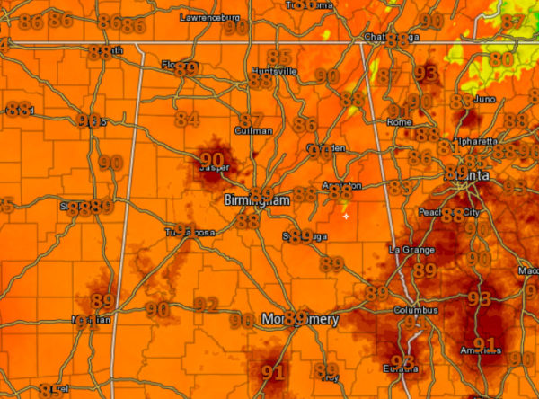
Mainly sunny and hot again this afternoon across all of Alabama as temperatures are once again in the upper 80s and lower 90s.
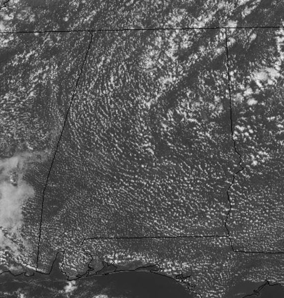
Scanning the radar for a stray cooling shower and there are just not any showing up at the writing of this forecast. There is certainly a chance for one or two to dot the Alabama landscape, but with the upper ridge in place, there is just not much hope. For tonight, expect a clear night with lows in the upper 60s for most locations.
FOR OUR SUNDAY: The weather will be a near repeat of today’s weather as the ridge continues to hold. That means more hot temperatures with partly to mostly clear skies and just a very slight chance of a few isolated showers for the northern parts of the area. Highs remain in the upper 80s to the lower 90s. Sunday evening will be fair with lows in the upper 60s to the lower 70s.
NEXT WEEK: The upper ridge slowly weakens as a pattern change begins with the trough moving east and nudging the ridge east too. We will mention widely scattered afternoon showers and storms Monday and Tuesday, followed by higher rain chances over the latter half of the week all due to what could become Michael in the Gulf in the coming days. How that system behaves will greatly determine out weather in 5-7 days. Highs will drop to near 80 late in the week.
Category: Alabama's Weather, ALL POSTS
About the Author (Author Profile)
Macon, Georgia Television Chief Meteorologist, Birmingham native, and long time Contributor on AlabamaWX. Stormchaser. I did not choose Weather, it chose Me. College Football Fanatic. @Ryan_StinnetSubscribe
If you enjoyed this article, subscribe to receive more just like it.


