Michael Continues To Weaken, Heavy Rains Continue To Fall Over Georgia
9:00 PM CDT POSITION UPDATE
CENTER OF MICHAEL NOW MOVING INTO SOUTH-CENTRAL GEORGIA.
DAMAGING WINDS STILL OCCURRING INLAND.
STORM SURGE LEVELS GRADUALLY SUBSIDING ON THE GULF COAST.
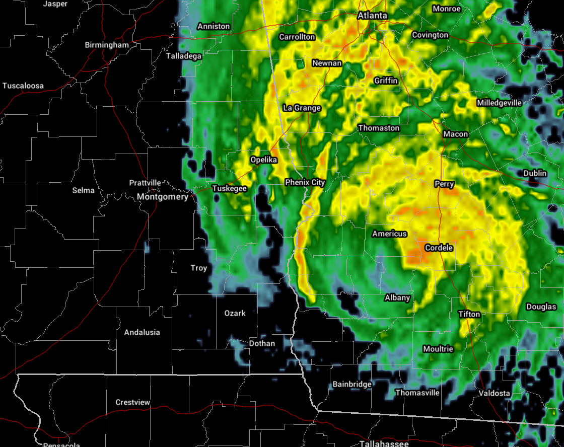
NOAA Doppler weather radar data indicate that the center of Michael is now moving into south-central Georgia. Winds are continuing to decease across the Florida panhandle.
Storm surge levels will continue to decrease along the coast of the Florida Panhandle tonight. A National Ocean Service water level station at Apalachicola is now indicating about 2 feet of inundation above ground level.
Over 58,000 people in southeast Alabama are without power (as of 9:00 PM CDT), while power outages in Florida are over 326,000. Georgia currently has over 147,000 customers without power.
SUMMARY OF 9:00 PM CDT…0200 UTC…INFORMATION
———————————————–
LOCATION: 31.9N 84.1W
ABOUT 60 MI SSW OF MACON, GEORGIA
MAXIMUM SUSTAINED WINDS: 80 MPH
PRESENT MOVEMENT: NE AT 17 MPH
MINIMUM CENTRAL PRESSURE: 965 MB
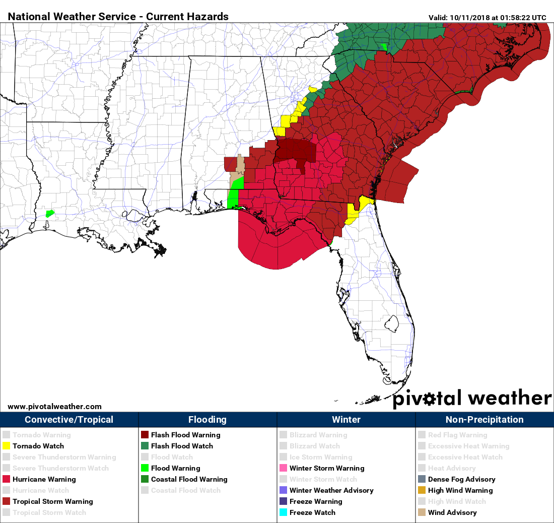
These are the current watches and warnings across the southeast as of 9:15 PM CDT.
Category: Alabama's Weather, ALL POSTS, Tropical
About the Author (Author Profile)
Scott Martin is an operational meteorologist, professional graphic artist, musician, husband, and father. Not only is Scott a member of the National Weather Association, but he is also the Central Alabama Chapter of the NWA president. Scott is also the co-founder of Racecast Weather, which provides forecasts for many racing series across the USA. He also supplies forecasts for the BassMaster Elite Series events including the BassMaster Classic.Subscribe
If you enjoyed this article, subscribe to receive more just like it.


