

Quick Alabama Update at Noon: Including Race Forecast
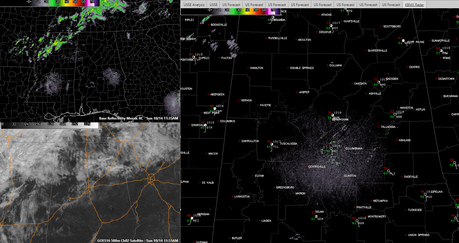
It is a pleasant Sunday across Central Alabama. Broken to nearly overcast skies cover areas along and north of I-20. This is resulting in mottled sunshine for those areas and temperatures in the lower and middle 70s for the most part. Dewpoints are at or above 60F for areas northwest of I-59. At 60F or higher, you start to feel the humidity just a bit. Northeast Alabama is a little cooler and drier, with a temperature of 64F at Fort Payne over a dewpoint of 52F.
There is a light breeze over eastern Alabama, with a slightly stiffer southerly breeze over West Alabama. All in all, with the mottled sunshine, relatively lower humidity and mild to warm temperatures, it feels pretty nice.
Our radars are basically dry. There are a few showers showing up over northeastern Mississippi. Showers will increase over Northwest Alabama this afternoon, but the track at Talladega, along with areas along and north of I-20, should be fine.
Temperatures will top out between 79F and 86F, with the cooler readings over Northwest Alabama where clouds will be thicker and showers will be present.
A cold front will begin edging towards Alabama tomorrow and this will increase our rain chances through Tuesday. The best chances look like they will come Monday afternoon through Tuesday for northwestern sections and for Tuesday and Tuesday night for areas south and east of I-59.
Rainfall amounts will be light, between 0.10 and 0.25 inches for areas along and either side of I-59, and between 0.25 and 0.50 inches for areas northwest of I-59. Over an inch will fall across the northwestern corner of the state.
Temperatures will be in the 80s areawide tomorrow, in the 60s and 70s Tuesday and 60s over the northern half of the area Wednesday, with 70s to the south. Temperatures Thursday and Friday will be nearly perfect, in the lower 70s for the afternoons, with mornings in the 40s and 50s.
Category: Alabama's Weather, ALL POSTS
About the Author (Author Profile)
Bill Murray is the President of The Weather Factory. He is the site's official weather historian and a weekend forecaster. He also anchors the site's severe weather coverage. Bill Murray is the proud holder of National Weather Association Digital Seal #0001 @wxhistorianSubscribe
If you enjoyed this article, subscribe to receive more just like it.


